The Nebraska Sandhills Cover 20,000 Square Miles and Have Almost No People In Them At All
We may earn money or products from the companies mentioned in this post. This means if you click on the link and purchase the item, I will receive a small commission at no extra cost to you ... you're just helping re-supply our family's travel fund.
The Nebraska Sandhills, a massive region of grass-stabilized sand dunes covering roughly a quarter of the state, roughly 20,000 square miles in total, represents one of the least-visited and least-populated landscapes in the continental United States, sustaining a cattle ranching economy that has operated largely unchanged for well over a century.
A Landscape Built Entirely on Grass and Cattle
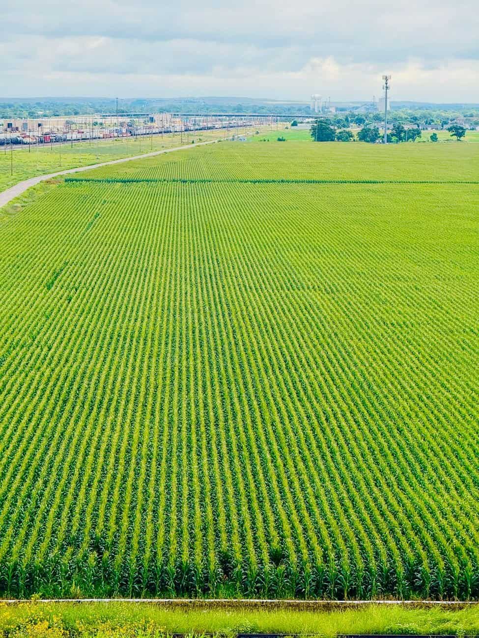
The Sandhills formed from ancient wind-deposited sand dunes now stabilized by a dense root system of native grasses, a fragile ecological balance that has kept the region almost entirely unsuitable for row-crop agriculture, leaving cattle ranching as essentially the only viable large-scale economic use of the land for the past 150 years.
Some counties within the Sandhills region have population densities measured in single digits per square mile, among the lowest anywhere in the country outside Alaska, a genuine emptiness that has led demographers to describe parts of the region as functionally part of the broader Great Plains frontier still experiencing population decline more than a century after initial settlement.
What’s Actually There If You Go Looking
The Specific Features Worth Knowing
- The Nebraska National Forest at Halsey includes the largest hand-planted forest in the Western Hemisphere
- Valentine National Wildlife Refuge preserves a significant chunk of undisturbed Sandhills habitat
- Ranching operations here often span tens of thousands of acres to support cattle on such sparse grazing land
- The region has some of the darkest night skies remaining in the continental United States
Ranching families in the Sandhills have maintained multi-generational operations here precisely because the land’s limitations kept out the kind of agricultural intensification and subdivision that transformed much of the rest of the Great Plains, leaving a landscape that looks, in many ways, remarkably similar to how it appeared to the earliest cattle ranchers who arrived in the late 1800s.
For travelers willing to make the drive, the Sandhills offer a genuinely rare experience in the Lower 48: hours of driving through dramatic, empty grassland with essentially no commercial development, no chain restaurants, and some of the least light-polluted night skies remaining anywhere in the country outside the most remote parts of the Mountain West.
Why This Keeps Getting Overlooked
Part of the reason this dynamic receives less attention than it probably deserves is structural: the initial story, whether a viral moment, a policy change, or a shift in travel patterns, is simply more compelling to cover than the slower, less dramatic process of adjustment that follows it over subsequent years, which rarely fits into a single headline or a short video.
That mismatch between what gets covered and what actually matters most to the people living through the change is a recurring feature of how places, trends, and communities get discussed publicly, and it tends to leave a persistent gap between popular perception and the more complicated reality on the ground.
What This Means Going Forward
The broader pattern here reflects something researchers and local officials increasingly track closely: the gap between how a place or trend is perceived from the outside and how it actually functions day to day for the people living inside it or making decisions about it. That gap rarely closes on its own, and it tends to widen further whenever outside attention, whether from tourism, media coverage, or social platforms, arrives faster than the underlying infrastructure or community capacity can absorb it.
What tends to happen next depends heavily on decisions made by the people closest to the situation, whether that means local governments, longtime residents, or the businesses that have to adapt fastest, and those decisions rarely get the same national attention as the initial trend or story that put the place on the map in the first place, even though they matter considerably more to how things actually turn out over the following decade.
The Longer-Term Trajectory
Longtime observers of this pattern note that the early years after a place or trend gains attention are rarely the ones that determine its lasting character. The more decisive period tends to arrive several years later, once the initial wave of interest either sustains itself through genuine infrastructure investment or fades as attention moves elsewhere, leaving behind whatever changes already took root during the busier years.
That delayed reckoning is precisely why comparisons across a full decade, rather than a single before-and-after snapshot, tend to produce a more accurate picture of what actually changed and what merely appeared to change while the cameras and headlines were still pointed in that direction.
Why This Keeps Getting Overlooked
Part of the reason this dynamic receives less attention than it probably deserves is structural: the initial story, whether a viral moment, a policy change, or a shift in travel patterns, is simply more compelling to cover than the slower, less dramatic process of adjustment that follows it over subsequent years, which rarely fits into a single headline or a short video.
That mismatch between what gets covered and what actually matters most to the people living through the change is a recurring feature of how places, trends, and communities get discussed publicly, and it tends to leave a persistent gap between popular perception and the more complicated reality on the ground.
What This Means Going Forward
The broader pattern here reflects something researchers and local officials increasingly track closely: the gap between how a place or trend is perceived from the outside and how it actually functions day to day for the people living inside it or making decisions about it. That gap rarely closes on its own, and it tends to widen further whenever outside attention, whether from tourism, media coverage, or social platforms, arrives faster than the underlying infrastructure or community capacity can absorb it.
What tends to happen next depends heavily on decisions made by the people closest to the situation, whether that means local governments, longtime residents, or the businesses that have to adapt fastest, and those decisions rarely get the same national attention as the initial trend or story that put the place on the map in the first place, even though they matter considerably more to how things actually turn out over the following decade.