Glaciers Covered Almost the Entire Midwest. They Skipped One Pocket of Wisconsin and Iowa, and You Can Feel the Difference Driving Through It.
We may earn money or products from the companies mentioned in this post. This means if you click on the link and purchase the item, I will receive a small commission at no extra cost to you ... you're just helping re-supply our family's travel fund.
During the last ice age, glaciers flattened most of the upper Midwest into the gently rolling farmland most people picture when they think of Iowa or Wisconsin. But a roughly 24,000-square-mile pocket spanning southwestern Wisconsin, northeastern Iowa, southeastern Minnesota, and a sliver of northwestern Illinois never got covered. It’s called the Driftless Area, named for the absence of glacial drift, the sand, gravel, and boulders glaciers leave behind, and it looks like nowhere else in the region: steep bluffs, deep river valleys, and topography that feels closer to Appalachia than to the Corn Belt around it.
What Got Skipped and Why It Matters
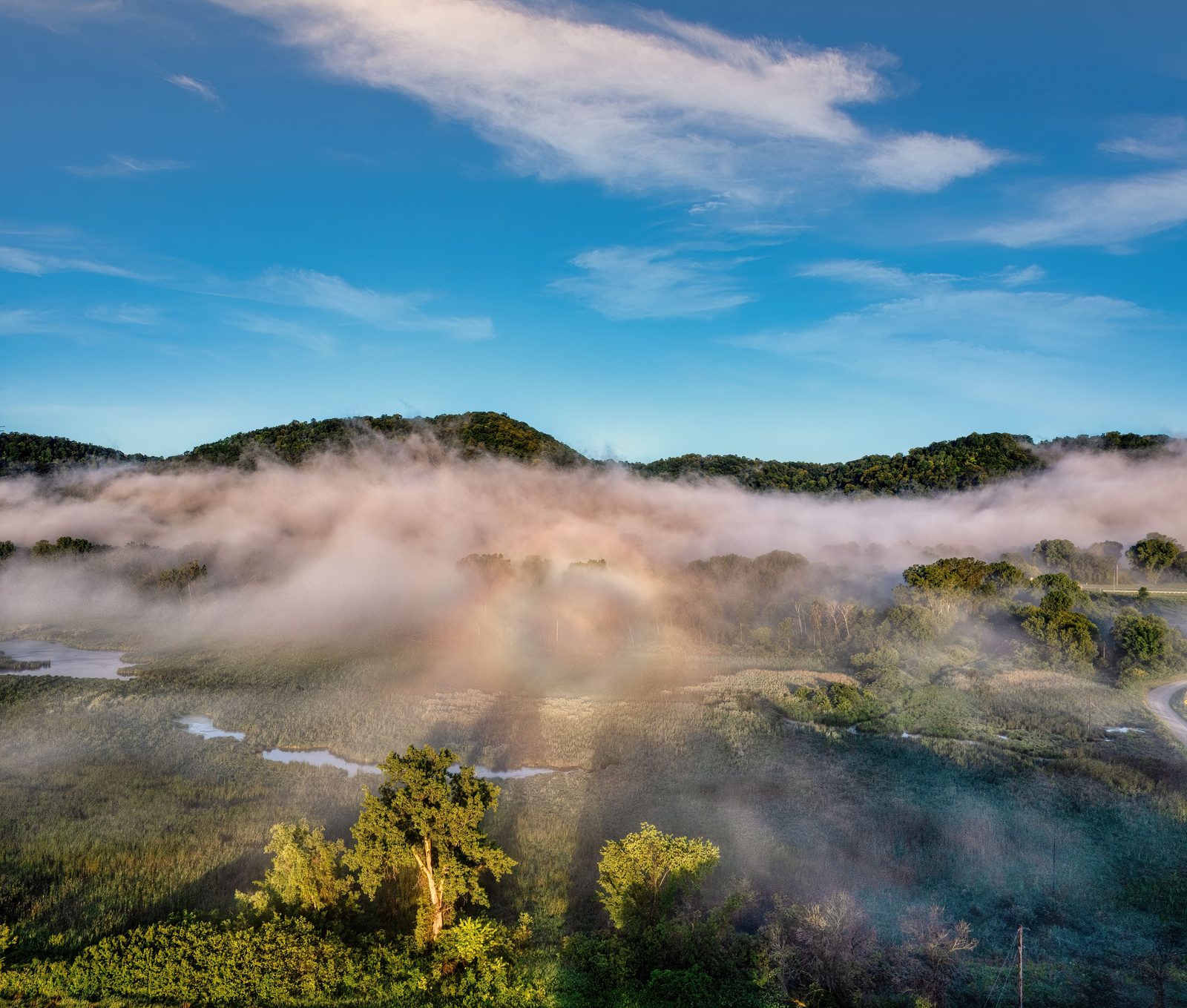
The Driftless Area sat between the lobes of advancing ice sheets during multiple glacial periods, leaving it as an island of older, more deeply eroded terrain surrounded by younger, flatter glaciated land on every side. Millions of years of water erosion carved the region’s limestone and sandstone bedrock into steep-sided valleys, or coulees, and left behind bluffs that rise several hundred feet above the rivers threading through them. The result is a landscape shaped entirely by water rather than ice, which is also why the region is riddled with cold, spring-fed streams that never existed in the glaciated land around it.
Those spring-fed streams are the region’s best-kept practical secret: hundreds of miles of cold, clean, limestone-filtered water that support wild trout populations in a part of the country most people assume is too warm and too flat for trout fishing. Trout Unlimited and state wildlife agencies have spent decades documenting and restoring these streams, and the Driftless has become a genuine destination for fly fishing precisely because the glaciers left the underlying geology intact enough to keep producing cold groundwater.
A Region With Its Own Culture, Not Just Its Own Geology
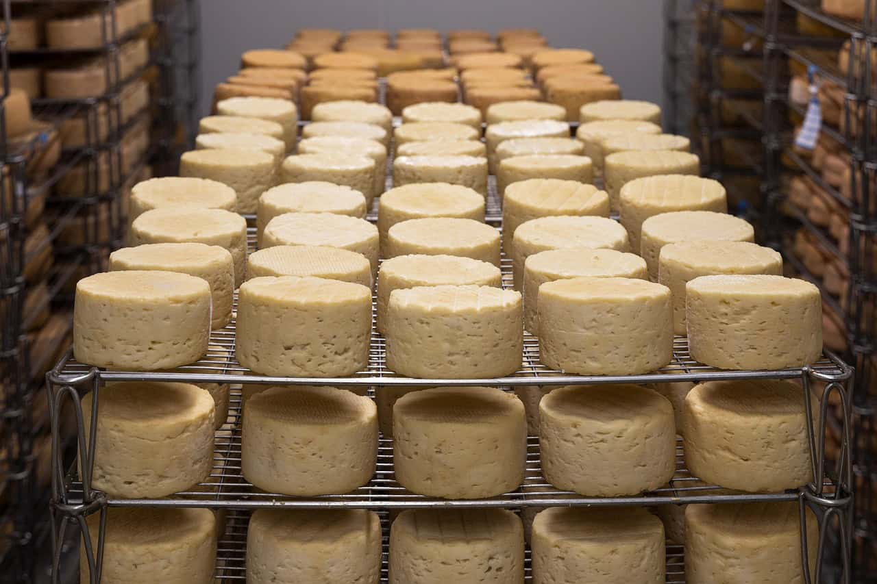
The terrain shaped the culture that grew up in it. Because the land was too hilly for the large-scale monoculture farming that dominates the flat Midwest, the Driftless retained smaller family dairy farms and diversified agriculture far longer than surrounding regions, and it’s become a stronghold for organic and grass-fed farming as a result. Towns like Decorah, Iowa, Viroqua, Wisconsin, and La Crosse, Wisconsin have built identities around that agricultural character, with food co-ops, creameries, and farm-to-table restaurants that draw on a supply chain most of the rural Midwest lost decades ago.
What Makes the Driftless Worth Visiting
- Cold-water trout streams throughout southwestern Wisconsin and northeastern Iowa that support a genuine fly fishing culture
- Small river towns like Decorah, Viroqua, and Lanesboro, Minnesota built around bike trails, breweries, and independent shops rather than chain retail
- Effigy Mounds National Monument in Iowa, preserving Native American ceremonial mounds shaped like animals along the Mississippi River bluffs
The Driftless is also a rare case of a region whose name is purely a geological description that turned into a cultural identity. Locals now use “Driftless” the way people use “Appalachia” or “the Ozarks,” as shorthand for a specific set of values around land, food, and pace of life, even though the term started as a technical footnote in glacial mapping. Regional publications, breweries, and tourism boards have all adopted the name outright, which says something about how completely an accident of geology can end up defining how a place understands itself.
Geologists have another name for the same phenomenon that’s slightly more precise: the region was surrounded by the Superior, Green Bay, and Des Moines lobes of the Laurentide Ice Sheet during the most recent glaciation but was never directly overridden by any of them, leaving a highland unglaciated island roughly the size of Massachusetts sitting in the middle of otherwise heavily glaciated terrain. That precision matters to the tourism story, because it explains why the Driftless has caves, karst topography, and sinkholes that don’t exist in the flatter glaciated land surrounding it, features created by water dissolving limestone bedrock over a much longer, uninterrupted timescale than glaciated ground ever got to experience.
Those caves have become their own quiet tourism draw. Niagara Cave in Harmony, Minnesota, and Wisconsin’s Cave of the Mounds near Blue Mounds both sit within or near the Driftless boundary and draw visitors specifically because karst cave systems of that scale are unusual this far north and this far from the more famous cave regions of Kentucky or the Ozarks. Combined with the region’s bluff-top scenic overlooks, particularly along the Great River Road following the Mississippi through Iowa and Wisconsin, the Driftless offers a genuinely different kind of Midwest road trip, one built around elevation change and geological curiosity rather than the horizon-to-horizon flatness most people associate with the region.
The Amish and Mennonite communities scattered through parts of the Driftless, particularly in southeastern Minnesota and northeastern Iowa, add another layer to the region’s distinct character, drawn originally to the same hilly, small-farm-friendly terrain that shaped the broader agricultural culture. Their presence has reinforced the area’s identity around small-scale farming, farmers markets, and a visible rejection of the industrial agriculture that dominates the flat cropland just beyond the Driftless boundary in every direction.
Local tourism around the Driftless has grown steadily as agritourism and small-scale farm-to-table dining have become bigger draws, with towns like Decorah, Iowa, and Viroqua, Wisconsin, building modest but genuine visitor economies around organic farms, breweries using local hops and grains, and trout fishing on the region’s famously cold, spring-fed limestone streams, a niche but growing alternative to the interstate-adjacent tourism most of the rural Midwest depends on.
The Driftless region’s distinct topography also shaped its agricultural history in ways that still define the local economy. Because the hilly terrain resists the large-scale, single-crop industrial farming that dominates the flat glaciated land nearby, the region retained a higher proportion of smaller dairy and diversified farms for much longer, a pattern now being actively marketed by regional tourism boards as a selling point for visitors specifically seeking a more traditional, human-scaled version of Midwest agriculture than the corn-and-soybean monoculture most travelers picture when they think of the region.
For travelers, the practical case is straightforward: the Driftless offers hills, rivers, and small-town density that most people don’t associate with Iowa or Wisconsin, all within a few hours’ drive of Minneapolis, Milwaukee, or Chicago. It rewards a slow road trip more than a single-destination visit, since the appeal is cumulative, one coulee town blending into the next, one bluff overlook giving way to another, in a stretch of the Midwest the ice sheets simply never got to.