The Oklahoma Panhandle Has Three Counties, No Interstate, and Fewer People Than a Single Denver Zip Code.
We may earn money or products from the companies mentioned in this post. This means if you click on the link and purchase the item, I will receive a small commission at no extra cost to you ... you're just helping re-supply our family's travel fund.
The Oklahoma Panhandle — Cimarron, Texas, and Beaver counties, the narrow strip of land wedged between Texas, Kansas, Colorado, and New Mexico — represents one of the emptiest stretches of the continental United States. Combined, the three counties hold a population of roughly 25,000 people spread across more than 5,700 square miles, a population density low enough that entire townships exist with fewer residents than a single suburban apartment complex elsewhere in the state.
Why This Sliver of Land Exists at All
The Panhandle’s odd rectangular shape traces back to 19th-century territorial politics: it was originally part of the unorganized “No Man’s Land” or Public Land Strip, land nobody’s territorial claim fully covered after Texas entered the Union as a slave state with a northern boundary set at the Missouri Compromise line, deliberately excluding this strip. For decades it existed essentially without formal governance, drawing outlaws and squatters before it was eventually attached to Oklahoma Territory. That origin as leftover, unclaimed land still shows up in the region’s sparse settlement pattern today (Condé Nast Traveler).
What’s Actually Out There
- Guymon, the Panhandle’s largest town at roughly 12,000 residents, anchored by one of the largest beef processing plants in the country and a substantial and growing immigrant population working the plant and surrounding feedlots
- Boise City, Cimarron County’s seat, notable for being the only American town bombed by U.S. military aircraft during World War II, in a 1943 training accident
- Black Mesa, Oklahoma’s highest point at 4,973 feet, sitting in the extreme western tip of the Panhandle near the New Mexico and Colorado borders
- Vast cattle feedlots and irrigated cropland dependent on the Ogallala Aquifer, whose declining water levels represent the region’s most serious long-term economic threat
The Demographic Shift Nobody Outside the Region Talks About
The Panhandle’s population, once overwhelmingly white and agricultural, has shifted substantially over the past three decades due to the meatpacking and feedlot industry’s reliance on immigrant labor, with significant Hispanic communities from Mexico and Guatemala now anchoring towns like Guymon, alongside smaller but growing populations from Eastern Africa and Southeast Asia, according to residents’ own accounts of the demographic change (firsthand community accounts). That shift has made towns like Guymon considerably more culturally diverse than the surrounding rural counties’ overwhelmingly conservative political character might suggest to an outsider driving through.
Why It’s Emptying Out Even Further in Places
Smaller Panhandle towns away from Guymon’s meatpacking-driven economy have experienced the same rural depopulation pattern found across the Great Plains — the slow bleed of young people to Oklahoma City, Amarillo, or further afield for opportunities the local economy can’t provide. Several Panhandle towns have shrunk to populations in the dozens or low hundreds, with some approaching genuine ghost-town status, a pattern documented extensively by regional historians and reflected in academic research on the state’s vanishing rural communities (Western Historical Quarterly).
What Actually Draws Anyone Out There on Purpose
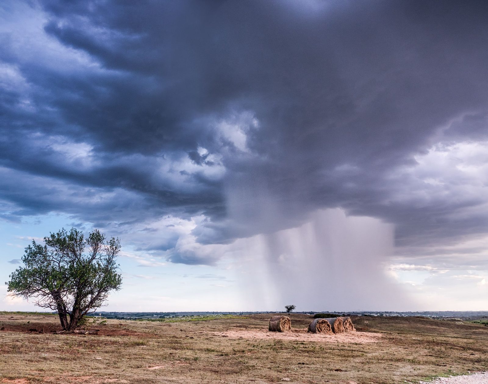
Black Mesa State Park and its surrounding badlands draw a small but dedicated stream of hikers and dinosaur-track enthusiasts — the region has produced significant fossil discoveries given its exposed Mesozoic-era rock formations. Beyond that niche appeal, the Panhandle mostly functions as a driving corridor between more prominent destinations rather than a destination in its own right, which is precisely what gives it the strange, empty, high-plains character that occasional visitors find genuinely striking: hundreds of square miles where the sky dominates the landscape simply because there’s almost nothing built tall enough to compete with it.
What the Ogallala Aquifer Decline Means for the Region’s Future
The Ogallala Aquifer, the vast underground water source that makes irrigated agriculture possible across the High Plains including the Oklahoma Panhandle, has been declining for decades faster than natural recharge can replace it, according to long-running U.S. Geological Survey monitoring of the aquifer. Because Panhandle agriculture and the feedlot economy anchoring towns like Guymon depend heavily on that irrigation, the aquifer’s long-term decline represents a far more consequential threat to the region’s economic viability than any of the more visible signs of rural depopulation, since it strikes directly at the industry keeping the region’s largest town economically functional at all.
If You’re Actually Driving Through
- US-64 and US-412 are the primary routes crossing the Panhandle; services and gas stations are genuinely sparse between towns
- Guymon is the only realistic stop for a full range of services — food, fuel, lodging — across the entire stretch
- Black Mesa State Park requires some advance planning since it sits well off the main highway corridors
The Bottom Line for Anyone Passing Through
The Oklahoma Panhandle isn’t a destination most people plan a vacation around, and it doesn’t need to be. It’s a genuinely strange, empty stretch of American geography worth understanding for what it is: leftover land that ended up more demographically interesting, and more economically fragile, than its emptiness suggests.