Almost Nobody Walks the C&O Canal Towpath All at Once — Here’s What Its 184.5 Miles Mean for Visitors
We may earn money or products from the companies mentioned in this post. This means if you click on the link and purchase the item, I will receive a small commission at no extra cost to you ... you're just helping re-supply our family's travel fund.
The Chesapeake and Ohio Canal towpath stretches exactly 184.5 miles along the Potomac River from Georgetown in Washington, D.C. to Cumberland, Maryland, following a canal that was never finished as originally planned and never turned the profit its builders promised investors. Construction began in 1828, the same day ground broke on the competing Baltimore and Ohio Railroad a few miles away, a race the canal lost decisively, reaching Cumberland eight years after the railroad had already arrived there, and never extending the additional 180 miles to Pittsburgh that was the entire original goal of the project.
Today the whole towpath is a National Historical Park, flat and crushed-gravel for essentially its entire length, which makes it one of the most approachable long-distance trails in the country for hikers, cyclists, and increasingly, thru-hikers stringing it together with the Great Allegheny Passage to create a continuous off-road route all the way to Pittsburgh, a journey of well over 300 combined miles for those attempting the full connection in one trip.
What’s Actually Along the 184 Miles
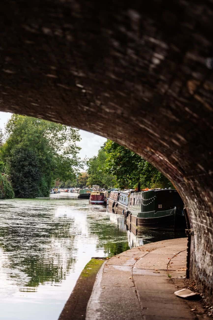
The canal’s 74 lift locks, most still standing in some form today, mark the elevation change the canal had to climb as it moved inland from tidewater toward the Appalachian foothills, and several of the original lockhouses have been restored and are available to rent overnight through the National Park Service, offering a genuinely unusual way to sleep inside a functioning piece of nineteenth-century transportation infrastructure. Great Falls, about 15 miles up from Georgetown, is the most visited section of the entire towpath, where the Potomac drops dramatically over a series of rapids visible from an overlook just a short walk from the trail itself.
Further out, the trail passes through terrain adjacent to Harpers Ferry, the town of Williamsport where the canal once maintained a major turning basin for boats, and Paw Paw, West Virginia, home to the canal’s most audacious piece of engineering: the Paw Paw Tunnel, a 3,118-foot brick-lined tunnel blasted through a mountain specifically to avoid a six-mile bend in the river, a project that took 14 years to complete and very nearly bankrupted the canal company before it was finished.
Why the Canal Failed and the Trail Succeeded
The C&O Canal operated commercially from 1831 to 1924, hauling coal primarily from the Cumberland region down toward Washington, but it never came close to genuine profitability and was repeatedly damaged by floods that required expensive repairs, including a catastrophic 1889 flood that effectively ended its run as a serious commercial waterway even though limited operations continued in a diminished form for decades afterward. The same low grade and water-level route that made it a commercial dead end relative to the railroad is exactly what makes it an ideal recreational trail today, since there are no steep climbs, a consistent surface throughout, and a route that hugs a scenic river for essentially its entire length.
The National Park Service took over management of the corridor in 1971, largely due to advocacy from Supreme Court Justice William O. Douglas, who led a famous 1954 hike along the full towpath specifically to generate public opposition to a proposal that would have paved it into a scenic parkway for cars, an event still cited by the park service today as the direct reason the corridor exists in its current undeveloped form.
What It Actually Takes to Do It
A full thru-hike or ride of the entire towpath typically takes between four and ten days depending on pace and whether someone is hiking or cycling, and free hiker-biker campsites are spaced roughly every five to eight miles along the entire route, making it one of the more forgiving long-distance trails in the country to attempt without extensive advance logistics planning. Cyclists tend to complete the route considerably faster than hikers, with many experienced riders finishing in three to four days if weather and trail conditions cooperate along the way.
Water access and resupply points are more limited than on some other long-distance trails, and the towpath’s isolation from major roads for long stretches means planning food and water carefully between the small towns that dot the route roughly every fifteen to twenty-five miles, towns like Brunswick, Hancock, and Little Orleans that have come to rely on trail traffic as a meaningful part of their local economies.
- Full thru-hike or ride: typically 4 to 10 days depending on pace and whether you’re hiking or cycling
- Camping: free hiker-biker campsites are spaced roughly every 5 to 8 miles along the route
- Lockhouses: several restored lockhouses can be rented overnight through the National Park Service
- Connection point: the trail meets the Great Allegheny Passage in Cumberland, allowing an off-road route continuing to Pittsburgh
Why So Few People Attempt the Whole Distance
Despite its flat grade and reliable surface, the towpath’s sheer length keeps most visitors to day trips or weekend outings near Great Falls or Harpers Ferry rather than the full traverse, and park service visitation data has long shown the vast majority of towpath use concentrated in the first twenty miles closest to Washington. The more remote western sections near Cumberland see dramatically less traffic, giving experienced thru-hikers long stretches of genuine solitude that feel disconnected from the crowded, urban-adjacent trail most casual visitors actually encounter near the nation’s capital.
Weather and flooding remain persistent obstacles for anyone attempting the full length. Sections of towpath periodically wash out after major storms, and the National Park Service posts real-time closure updates that serious thru-hikers now check as routinely as backcountry hikers elsewhere check avalanche forecasts before setting out.
The towpath’s proximity to Washington also means it absorbs a very different kind of daily use near its eastern end than anywhere else along its length, with commuting cyclists and after-work joggers filling the Georgetown-to-Great Falls stretch on any given weekday evening, a level of everyday local use that fades almost completely once the trail passes beyond the D.C. suburbs into the more rural stretches of Maryland and West Virginia.