Palouse Falls Drops 198 Feet Into a Canyon Most Pacific Northwest Visitors Never Learn Exists.
We may earn money or products from the companies mentioned in this post. This means if you click on the link and purchase the item, I will receive a small commission at no extra cost to you ... you're just helping re-supply our family's travel fund.
Palouse Falls, in southeastern Washington State, drops 198 feet into a basalt canyon carved by Ice Age floods thousands of times larger than any flood in recorded human history, yet it remains absent from most Pacific Northwest itineraries that funnel visitors toward Mount Rainier, the Olympic Peninsula, and Seattle’s waterfront. Washington State designated it the official state waterfall in 2014, an honor that has done little to change its visitor numbers relative to the region’s more famous natural attractions.
The falls sit roughly equidistant from Seattle, Spokane, and Portland, far enough from any major metro area that reaching it requires a deliberate detour rather than a casual stop, which is almost certainly the single biggest reason it remains so far outside the typical Pacific Northwest visitor’s mental map despite ranking among the most dramatic waterfalls in the country.
The Ice Age Floods That Carved the Canyon
Palouse Falls and the surrounding channeled scablands were formed by the Missoula Floods, a series of catastrophic glacial lake outburst floods that occurred repeatedly between roughly 15,000 and 13,000 years ago, when an ice dam holding back Glacial Lake Missoula in western Montana repeatedly failed, releasing water volumes that geologists estimate exceeded the combined flow of all the world’s current rivers at the time of each individual flood event.
These floods scoured the basalt bedrock of eastern Washington into the dramatic canyon and coulee landscape now visible at Palouse Falls State Park, a landscape so unusual that it took geologist J Harlen Bretz decades of research starting in the 1920s to convince the broader scientific community that a catastrophic flood, rather than gradual erosion, had actually produced it, a debate now settled definitively in Bretz’s favor.
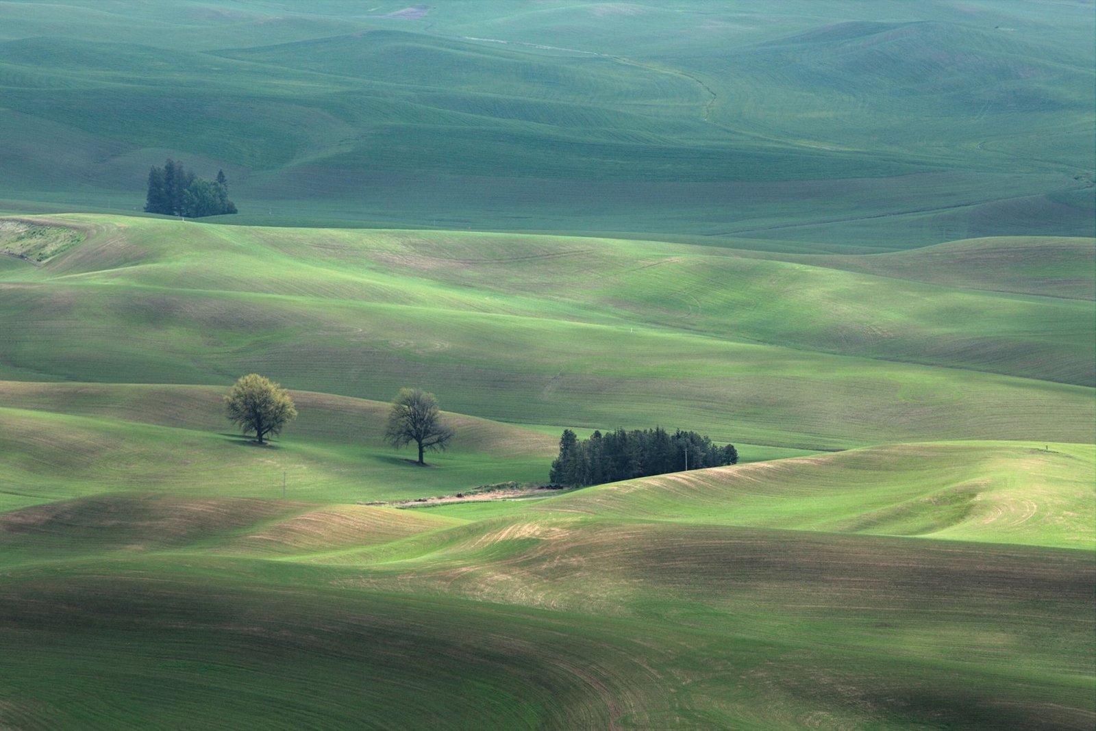
The Palouse River itself, which feeds the falls, drains a agricultural region famous for its rolling wheat field hills, giving visitors driving toward the falls a dramatic transition from gentle farmland scenery to sudden, sheer canyon walls within the span of just a few minutes.
Why So Few Visitors Make the Trip
Palouse Falls State Park sits well outside the interstate highway corridors that carry the bulk of Pacific Northwest road trip traffic, requiring a specific detour off Highway 261 in a sparsely populated agricultural region with limited lodging or dining options nearby, a logistical reality that filters out casual visitors who prioritize convenience over destination-specific effort.
- The nearest larger towns, Washtucna and Starbuck, offer minimal tourist infrastructure compared to Pacific Northwest destinations near Seattle or Portland
- The park has no entrance fee beyond Washington’s standard Discover Pass requirement for state park access
- A short overlook trail provides the classic photo viewpoint, while a more strenuous unofficial trail leads down toward the canyon floor with real fall risk
- Spring provides the highest water flow and most dramatic falls, while by late summer the flow can diminish noticeably
The Safety Risks That Complicate the Draw
Palouse Falls has recorded multiple visitor deaths over the years, most involving people climbing past marked barriers to get closer to the canyon edge or attempting the unofficial trail down to the canyon floor without adequate preparation for the loose, unstable basalt terrain, prompting Washington State Parks to install additional fencing and warning signage in recent years.
This safety record occasionally surfaces in regional news coverage, which paradoxically has done more to raise Palouse Falls’s profile among Washington residents than any tourism marketing effort, even as it underscores the genuine risk that comes with a natural feature that offers far less visitor infrastructure than a comparably dramatic attraction inside a national park would provide.
How It Compares to More Famous Waterfalls
At 198 feet, Palouse Falls drops further than Niagara Falls and rivals many of the waterfalls that draw major crowds in national parks, yet its visitor numbers remain a small fraction of what a comparably dramatic feature would draw if it sat inside Yellowstone, Yosemite, or even a more accessible Washington destination like Mount Rainier National Park.
That gap between scale and fame makes Palouse Falls a favorite reference point among Pacific Northwest hikers and photographers who use it almost as shorthand for the region’s broader pattern of dramatic, underappreciated landscapes hiding in its agricultural interior, far from the coastal cities that dominate most people’s mental image of the region.
What a Visit Actually Requires
Reaching Palouse Falls requires building real drive time into any Pacific Northwest itinerary, roughly three and a half hours from Seattle or just over an hour from Spokane, and most visitors treat it as a stop on a longer road trip through eastern Washington rather than a standalone destination, often pairing it with visits to nearby wine country around Walla Walla or the wheat field scenic byways of the Palouse region itself.
For travelers willing to make that detour, the payoff is a genuinely dramatic natural feature experienced without the crowds, shuttle buses, or reservation systems that now define visits to the Pacific Northwest’s more famous attractions, a tradeoff that an increasing number of experienced regional travelers have started to actively seek out.
What Geologists Still Study There Today
Modern geologists continue to use Palouse Falls and the surrounding channeled scablands as a field laboratory for understanding catastrophic flood dynamics, and researchers from Washington State University and the University of Washington regularly bring students to the site to study the flood evidence directly, since few places on Earth preserve such a clear, undisturbed record of a single dramatic geological event happening at a scale almost impossible to visualize from written description alone. The site has become something of a pilgrimage stop for geology programs across the Pacific Northwest specifically because Bretz’s once-controversial flood theory, initially dismissed by his peers for decades, was eventually vindicated so thoroughly that it reshaped how scientists think about rapid, catastrophic landscape change more broadly, not just in Washington but globally.
That scientific significance rarely factors into how casual visitors experience the falls, most of whom arrive simply chasing a striking photograph, but it adds a layer of depth to the site that separates it from a purely scenic stop, giving Palouse Falls a dual identity as both a dramatic natural attraction and a genuinely significant reference point in the history of American earth science research.