Montana’s Hi-Line Has Fewer People Than You Expect — So Every Stop Requires More Planning
We may earn money or products from the companies mentioned in this post. This means if you click on the link and purchase the item, I will receive a small commission at no extra cost to you ... you're just helping re-supply our family's travel fund.
Montana’s Hi-Line is the long, empty ribbon of US Highway 2 and the BNSF railway across the northern edge of the state. The counties along it often have fewer than two people per square mile, which means the nearest gas pump, motel or open restaurant can be an hour away. Plan every stop in advance and the trip is one of the best drives in the American West, and skip the planning and it gets stressful fast.
Why Montana’s Hi-Line Needs More Planning at Every Stop
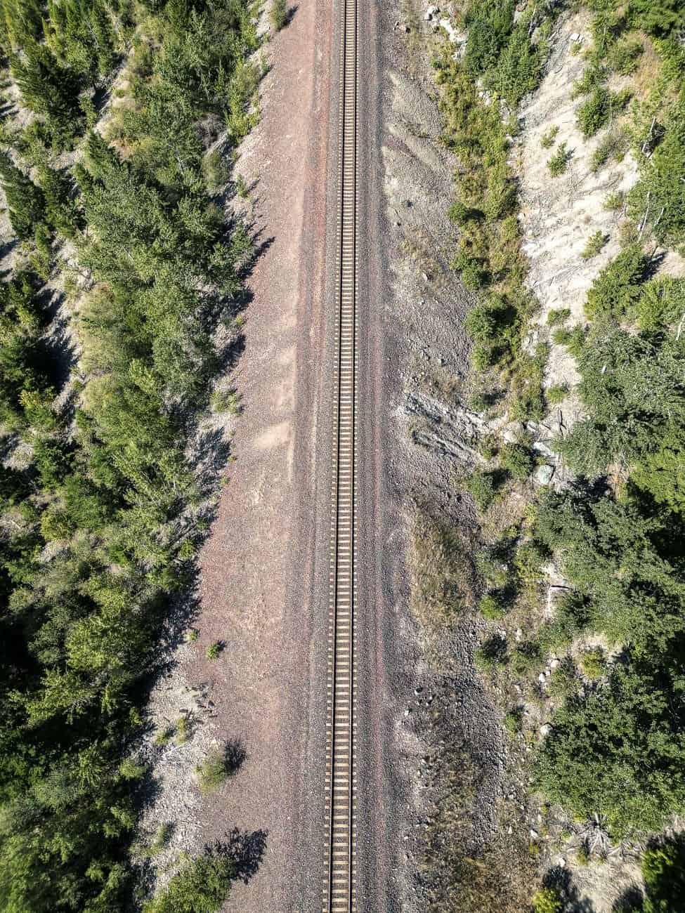
Here is the plain answer. Between Browning near Glacier National Park and the North Dakota line, roughly 400 miles of highway pass through a handful of towns, most with populations under 5,000 and several under 1,000. Towns are spaced 25 to 100 miles apart. Lodging is limited, restaurants may close mid-afternoon and some services are closed on Sundays. A missed turn or a closed motel can turn into an hour of extra driving.
The thin population is the reason. Phillips County, around Malta, has roughly 4,000 residents spread over more than 5,000 square miles. Valley County, around Glasgow, holds about 7,400 people over a similar area. Compare that with the Gallatin Valley, where a single suburb can have more residents than a whole Hi-Line county. The land is vast and flat to rolling, the sky is huge, and the services are far apart.
What the Hi-Line Actually Is
The name comes from the Great Northern Railway, which built its line along the northern part of Montana in the 1880s and 1890s and brought homesteaders by the thousand. Towns grew every 10 to 15 miles along the tracks, because early steam trains needed regular stops for water and coal. Over time, farming consolidated, many homestead families left and the spacing of towns outlived the population that justified it.
Today US 2 follows the railroad, and Amtrak’s Empire Builder still stops at several towns, including Shelby, Havre, Malta, Glasgow and Wolf Point, a good option for travelers who prefer not to drive. The economy runs on wheat, barley, cattle, energy, tribal government and federal agencies. Several Native nations call the region home, including the Blackfeet Nation near Browning, the Fort Belknap Indian Community and the Fort Peck Assiniboine and Sioux Tribes.
The Towns, From West to East
Planning goes more smoothly when you know the main hubs. Here are the ones you are most likely to use.
- Browning: The center of the Blackfeet Reservation, with the Museum of the Plains Indian and North American Indian Days in July. Services are limited but real.
- Cut Bank: A small oil and farm town known for its giant penguin statue and its cold-weather reputation. It has motels, gas and several restaurants.
- Shelby: A railroad junction with a stop for Amtrak and a good set of motels and restaurants for its size. It is a handy overnight stop.
- Havre: The largest Hi-Line city, with roughly 9,500 to 10,000 residents and a state university campus. Havre Beneath the Streets, an underground tour of old businesses, and the Wahkpa Chu’gn buffalo jump are the best-known attractions.
- Chinook: Home to the Bear Paw Battlefield, where the Nez Perce ended their 1877 flight, about 15 miles south of town.
- Malta: A small town near Bowdoin National Wildlife Refuge, a significant bird area, with a couple of motels and restaurants.
- Glasgow: A town of about 3,200 near Fort Peck Dam, the huge earthen dam on the Missouri River that forms Fort Peck Lake. It is one of the better-served stops on the route.
- Wolf Point: On the Fort Peck Reservation, with a historic main street, a July rodeo tradition and a few motels.
Fuel: Fill Up Every Chance
The simplest rule is to top off the tank at every town of reasonable size. Some stretches of US 2 and the side roads offer no services for 50 miles or more, and some small-town stations close early or on Sundays. Gas prices can be higher than in larger cities, since fuel is trucked in. Electric vehicle charging is available in a handful of towns, but chargers are sparse, so check an up-to-date map and plan carefully, or avoid the route in an EV unless you can charge at lodging.
Carry water, a basic spare tire kit and a paper map or offline map. Cell coverage is decent on the main highway, but drops in valleys and on side roads.
Lodging: Book Ahead, Especially in Summer
Rooms are limited, and demand can spike. In summer, tourists heading to and from Glacier National Park fill motels, and harvest crews, hunters and energy workers can book rooms for weeks at a time. During the Bakken oil boom of the 2010s, rooms in towns near the North Dakota line often sold out and prices rose sharply, and the pattern can return when drilling activity picks up.
Typical rooms run from about $90 to $160 a night in smaller towns, with higher prices in peak summer or during events. Rodeos, county fairs and high school tournaments can fill a town unexpectedly. Call a day or two ahead even if you have no reservation, and ask whether the motel has a front-desk person late in the evening, as some small properties close early.
Food: Know the Hours
Restaurants in small Hi-Line towns often serve lunch and dinner on a limited schedule. A cafe that opens at 6 a.m. for farmers may close at 2 p.m. A bar may serve a full menu in the evening, and a Chinese restaurant or steakhouse may be the only dinner option. Gas stations often sell sandwiches, pizza and snacks, and grocery stores in larger towns such as Havre, Shelby and Glasgow offer a good chance to stock up.
Pack a cooler with drinks, fruit and sandwiches, especially if you are traveling on a Sunday or a holiday. That one habit solves most food problems on the road.
Distances That Surprise People
The drive times add up. Some examples, as rough guides:
- Browning to Shelby: about 80 miles, 1 hour 20 minutes.
- Shelby to Havre: about 100 miles, 1 hour 30 minutes.
- Havre to Malta: about 90 miles, 1 hour 25 minutes.
- Malta to Glasgow: about 70 miles, 1 hour 10 minutes.
- Glasgow to Wolf Point: about 70 miles, 1 hour 10 minutes.
- Wolf Point to the North Dakota line: roughly 80 miles.
A full traverse takes seven to eight hours without stops. Most travelers should treat it as a two-day trip with overnight stops in Havre or Glasgow.
Planning Around Reservations and Events
The Hi-Line calendar can surprise you. Fairs, rodeos and powwows draw big crowds to small places, and a single weekend can fill every room within an hour’s drive. North American Indian Days in Browning, held in July, is among the largest gatherings of its kind in the region. County fairs in July and August, harvest in late summer and hunting seasons in the fall each change who is on the road and who needs a bed.
If you are traveling by train on the Empire Builder, remember that the schedule can run late, especially in winter, and that stations in small towns may be unstaffed. Make sure your lodging knows you may arrive well after the scheduled time, and ask whether they offer a ride. Some small motels meet late trains, but you need to arrange it ahead of time.
Weather and Road Conditions
Weather matters. Winter brings snow, ice and ground blizzards that can close highways and strand motorists. Summer can bring thunderstorms and heat, and spring and fall can have fast changes. Check the Montana Department of Transportation road report before you leave, and carry emergency supplies in winter, including blankets, food, water and a charged phone. Wind can be fierce, and high-profile vehicles may have difficulty on exposed stretches.
Wildlife is also a hazard, especially at dawn and dusk. Deer, antelope and the occasional cow on an open range road are common.
A Note on Reservations, Tribal Lands and Courtesy
Roughly a third of the Hi-Line’s land lies in or near tribal nations, and each has its own rules, businesses and cultural centers. The Blackfeet Nation near Browning, Fort Belknap near Harlem and Fort Peck near Poplar and Wolf Point welcome visitors at museums, casinos, powwows and public events. Photography rules vary, and some events limit or forbid photos. Check each tribe’s website or visitor center, and follow signs about restricted areas. Buying from tribal artists and businesses is one of the most direct ways to support the local economy.
What to See While You Plan
The Hi-Line rewards travelers who slow down. Highlights include:
- Fort Peck Dam and the Fort Peck Interpretive Center, with dinosaur fossils including a full-size Tyrannosaurus rex, and the Fort Peck Theatre, a summer stock venue in a historic building.
- Bowdoin National Wildlife Refuge, which hosts large flocks of waterfowl and shorebirds during migration in spring and fall.
- The Charles M. Russell National Wildlife Refuge, a vast stretch of prairie, badlands and river around Fort Peck Lake.
- Bear Paw Battlefield, a quiet and moving national historical park site.
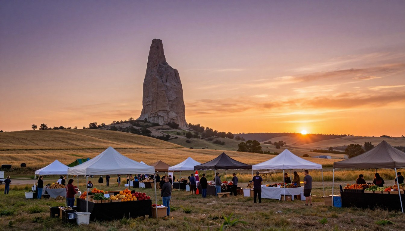
- Big sky sunsets, wide-open grain fields and long freight trains running through small towns.
How to Be a Good Guest
Small communities depend on visitors who treat them with respect. Buy gas and food locally, even if you have snacks. Ask permission before photographing people or private property. On reservations, check the rules for visiting sites, since some areas require permits and some are closed to the public. Drive slowly through small towns, and be patient at businesses with limited staff.
If you break down, locals are generally helpful, but towing and repair services can be far away and costly. Keep roadside assistance information handy.
Sample Two-Day Plan
If you want a simple route, try this:
- Day one: Start in Browning in the morning, visit the Museum of the Plains Indian, then drive to Shelby for lunch. Continue to Havre, tour Havre Beneath the Streets, and stay overnight.
- Day two: Drive to Chinook for the Bear Paw Battlefield, continue to Malta and Glasgow, and visit Fort Peck Dam in the afternoon. Stay in Glasgow or continue to Wolf Point.
Adjust to your pace, and give yourself an hour of margin each day.
The Bottom Line
Montana’s Hi-Line has fewer people than you expect, and that is exactly why each stop needs a plan. Fill the tank, book rooms early, check restaurant hours and leave time for the long drives. Do those things, and the road rewards you with open sky, deep history and small towns that welcome anyone who arrives prepared.