Galveston’s “Wall Street of the South” Era Ended in 1900—When a Hurricane Claimed an Estimated 6,000 Lives
We may earn money or products from the companies mentioned in this post. This means if you click on the link and purchase the item, I will receive a small commission at no extra cost to you ... you're just helping re-supply our family's travel fund.
Galveston, Texas was one of the wealthiest and most commercially important cities in the American South at the turn of the twentieth century, a major port and banking center sometimes referred to as the Wall Street of the South, before the Galveston Hurricane of 1900 struck the low-lying barrier island with a storm surge that killed an estimated 6,000 to 12,000 people, making it the deadliest natural disaster in American history and permanently altering the city’s economic trajectory.
The disaster prompted an extraordinary engineering response, the construction of a massive seawall and an unprecedented project to physically raise the grade of the entire city by several feet using dredged sand, infrastructure that still protects Galveston today and that visitors can still see and learn about at museums and historical sites throughout the island.
How Galveston Became One of the Wealthiest Cities in Texas
Galveston’s natural deepwater port made it Texas’s dominant commercial and banking center in the decades following the Civil War, a position of economic importance reflected in the city’s Strand Historic District, a collection of ornate Victorian-era commercial buildings constructed during this boom period that earned the nickname the Wall Street of the South due to the concentration of banking and trading activity that once operated there.
This wealth also funded elaborate residential architecture throughout the city, including the Bishop’s Palace and other grand Victorian mansions built by Galveston’s merchant and banking elite, structures substantial enough that many survived the 1900 storm’s devastation and remain among the city’s most visited historical attractions today.
The Scale of Destruction the 1900 Hurricane Actually Caused
The 1900 storm struck a city with essentially no advance warning system comparable to modern hurricane forecasting, generating a storm surge that overwhelmed the entire island, which at the time sat at an elevation of less than nine feet above sea level at its highest points, destroying thousands of buildings and killing a death toll that remains, by a significant margin, the largest from any natural disaster in United States history.
The scale of destruction was severe enough that recovery efforts had to address not just rebuilding but the sheer logistics of removing and identifying thousands of bodies scattered across the island, a grim task complicated by the storm’s timing and the primitive emergency response infrastructure available in 1900 compared to what a modern disaster response would deploy today.
The Extraordinary Engineering Response That Followed
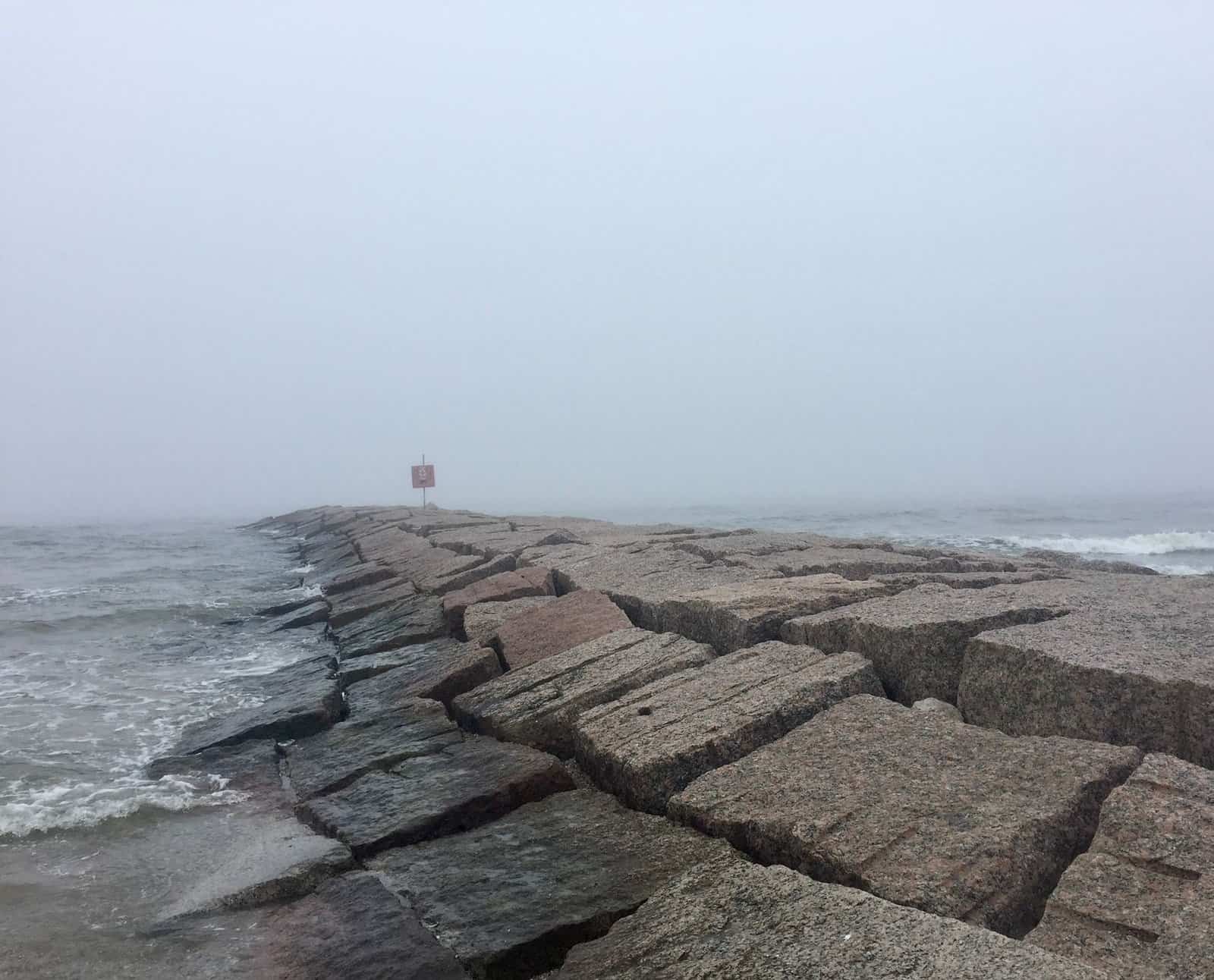
In direct response to the disaster, city officials commissioned construction of a massive concrete seawall along the Gulf-facing side of the island, a project completed in phases over the following years that eventually stretched over ten miles, along with an even more ambitious grade-raising project that used dredged sand pumped beneath thousands of existing buildings, in some cases raising entire structures on jacks while new fill was pumped underneath, to elevate the city’s ground level by as much as several feet in the most vulnerable areas.
This engineering response, executed with the construction technology available in the early 1900s, remains a remarkable feat of civil engineering by any era’s standards, and the seawall in particular continues to protect the city from storm surge today, though subsequent storms including Hurricane Ike in 2008 have demonstrated that even this substantial infrastructure cannot fully eliminate the island’s fundamental vulnerability to major hurricanes.
How the Disaster Permanently Shifted Texas’s Economic Center of Gravity
Houston, Galveston’s inland rival, capitalized directly on the disaster’s aftermath, accelerating investment in the Houston Ship Channel that ultimately allowed Houston to overtake Galveston as the region’s dominant port and commercial center within a generation, a shift historians consider one of the most direct examples of how a single disaster can permanently redirect a region’s economic development away from the affected city toward a less vulnerable rival.
Galveston never fully regained its previous position as Texas’s leading commercial center, instead gradually building a new identity centered on tourism and its preserved historical architecture, a transition that took decades but that has left the city with a distinct, well-preserved Victorian-era downtown that Houston’s dramatically different, car-oriented urban development never produced.
What Visitors Can Learn About This History Today
The Bryan Museum and several other Galveston institutions maintain detailed exhibits documenting the 1900 storm, its aftermath, and the engineering projects that followed, giving visitors a way to understand both the human scale of the tragedy and the remarkable civil engineering response that continues to protect the island today.
Galveston’s continued vulnerability to hurricanes, demonstrated again by Hurricane Ike in 2008, keeps this history from feeling like a purely historical curiosity, since the same seawall and elevated grade that protected the city from the 1900 disaster’s full repeat remain the primary defense against future storms that residents and officials know are a continued, inevitable feature of life on a low-lying Gulf Coast barrier island.