This Minnesota Walleye Has a Saddle and a Ladder So You Can Climb On
We may earn money or products from the companies mentioned in this post. This means if you click on the link and purchase the item, I will receive a small commission at no extra cost to you ... you're just helping re-supply our family's travel fund.
Key Takeaways
- The saddle makes this fish landmark a photo stop.
- Visitors can climb up and pose on the fish.
- Keep the visit short and fun.
- Plan a separate outing for the lake.
- Keep the stop in mind as a quick way to add a playful photo to a trip through Kabetogama.
What Makes the Kabetogama Walleye Statue Saddle Easy to Ride?
A rear ladder and a saddle on the fish’s back make this more than a look-from-the-road landmark. Those features give you a way to climb up and pose for photos, with a handle to hold. The Leapin’ Walleye stands 14 feet tall and has a ladder and saddle for visitors. The setup is made for a quick photo, not a fishing perch.The saddle, ladder, and photo pose
The ladder runs around the back of the fish, so you can climb up from behind. Once seated, hold the fish handle and settle into the saddle for your photo. Fishing around the Kabetogama walleye statue saddle means casting on Lake Kabetogama, not from the statue. The landmark’s perch is for pictures, while the lake is where you fish.Fishing around the Kabetogama walleye statue saddle means casting on Lake Kabetogama, not from the statue.Take your photos before climbing down, and give others room to use the ladder. A little patience helps keep the stop pleasant for everyone.
What the fiberglass fish looks like
Fiberglass is a moldable material made with glass fibers embedded in resin. The fish is made of fiberglass and is posed as if it has launched out of the water. That leaping pose gives the statue its lively look in photos. The saddle also makes the scale of the fish feel more real when you sit on its back. Explore Minnesota’s roadside attraction listing describes the Leapin’ Walleye as a fish statue visitors can climb and ride. Take a moment to check your footing before climbing onto the saddle.Where Is the Fish Statue, and How Does It Connect You to the Lake?
The fish marks the U.S. Highway 53 and County Road 122 junction about 8 miles east of Ray. County Road 122 leads toward Lake Kabetogama, making the stop a useful road landmark for lake visitors. The current fish is a replica of the original, designed by Duane Bryers in 1949. Bryers made that first version from concrete and steel for about $2,500. A Lake Kabetogama nautical chart uses a 1:24000 scale, and the fishing map lists 190.13 miles of shoreline. The map can help you orient yourself before heading out.- Picnic Island
- The red buoy off Ram Island
- The reef northwest of Ram Island
How Should You Plan Fishing on Lake Kabetogama?
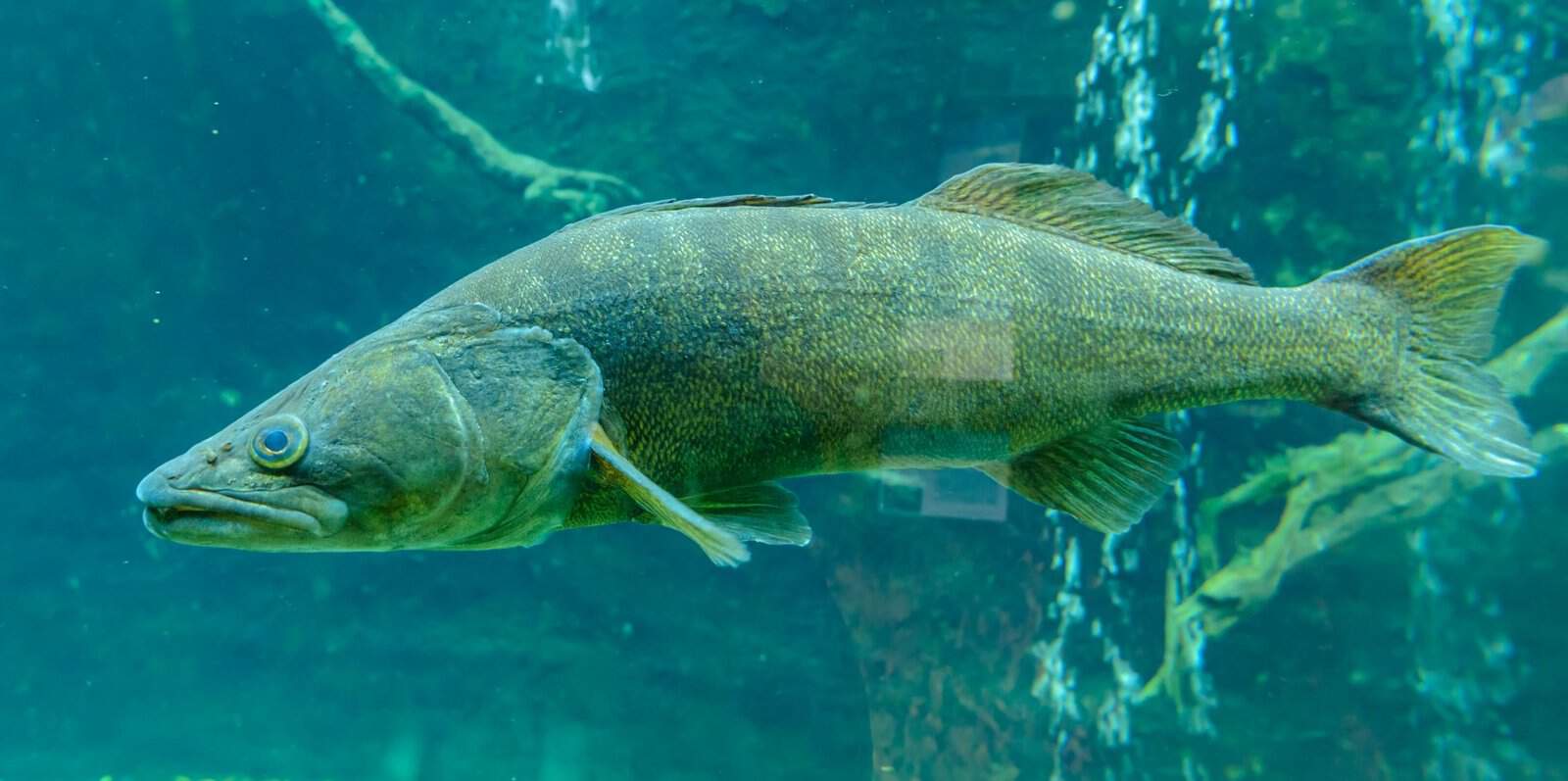
Start walleye fishing shallow early in the season, then look deeper as summer progresses and water conditions change. Early-season guidance points to 3-8 feet, while summer depths often range from 15-30 feet. Water temperature and conditions matter more than the month of June alone. Lake Kabetogama covers 25,760 acres within Voyageurs National Park, so a fishing report can help you narrow your search.Where to look as the season changes
Spring walleye may hold in shallow bays and along shorelines. As the season moves on, check reefs, channels, and deeper structure.- Try spring bays and shorelines in 3-8 feet of water.
- Check summer reefs, channels, and deeper structure at 15-30 feet.
- Look for current near Hacksaw Pass and the mouth of Gold Portage.
- Check windward island sides and shorelines, where baitfish may gather.
Regulations and park rules to check
A Voyageurs National Park fishing report is time-sensitive, so match it to Lake Kabetogama, your trip date, and current conditions.Check that a Voyageurs National Park fishing report matches your lake, date, and conditions before relying on it.Minnesota’s fishing regulations run from March 2026 through February 28, 2027. The state also requires a fishing license when you fish with a guide.
| Rule | Limit or timing | What to do |
|---|---|---|
| License | March 1-February 28 of the following year; required even with a guide | Carry a valid Minnesota fishing license |
| Combined possession | Six walleye and sauger total, no more than four walleye | Stay within both limits |
| Walleye size | Release 18-26 inches immediately; one over 26 inches may be possessed | Check each fish before keeping it |
Conclusion
The saddle makes the roadside stop memorable, and the lake rewards a little preparation of its own. Give yourself time for the photo, then treat fishing as a separate outing with its own plans. A map helps you understand the lake, but current water conditions can shape where you go. Keep the roadside pause light and easy, and make your time on the water a thoughtful part of the trip. Save the lake map and check current conditions before setting out from the statue toward the water.FAQ
What does a 1:24,000 nautical chart scale mean?
A 1:24,000 nautical chart scale means one unit on the chart represents 24,000 of the same units on the water. For example, one inch on the chart represents 24,000 inches in real life. The scale helps you judge distance and map features, but it cannot show changing conditions or confirm that a route is safe today.
Is June always a shallow-water month for walleye on Lake Kabetogama?
No, June is not always a shallow-water month for walleye on Lake Kabetogama. Early-season guidance points to 3-8 feet, while summer fishing often shifts toward 15-30 feet. Temperature and water conditions matter more than the calendar date, so use current reports to guide your choice of depth.
What does “windward side” mean when choosing a shoreline to fish?
The windward side is the shore or island side facing the incoming wind. Baitfish may gather there, which can draw feeding walleye, pike, or bass. Wind direction and strength can change, so shift your search if the fish or bait move elsewhere.
How can I tell whether Voyageurs National Park fishing rules apply to the lake I’m visiting?
Check whether you are fishing an interior lake or one of the named exceptions, including Lake Kabetogama. Interior lakes have rules on privately owned watercraft and float-plane landings that do not apply to Kabetogama. Check current Minnesota fishing rules as well, since state limits still guide what you may keep.
Is a lake fishing map enough to plan a trip?
No, a lake fishing map alone is not enough to plan a fishing trip. Use it to orient yourself, then check current regulations and make sure your Minnesota license is valid. Water, weather, and navigation conditions can change, so check those before heading out.