Colorado’s San Luis Valley Is at 7,500 Feet and Grows More of America’s Potatoes Than You’d Expect. Here’s What the Towns Actually Look Like
We may earn money or products from the companies mentioned in this post. This means if you click on the link and purchase the item, I will receive a small commission at no extra cost to you ... you're just helping re-supply our family's travel fund.
Drive south over La Veta Pass or Poncha Pass and the Rockies seem to fall away, and the San Luis Valley towns come into view across a flat, high basin. You are in the San Luis Valley, a flat, high basin about the size of Connecticut, sitting at roughly 7,500 feet above sea level. It is cold in winter, dry nearly all year, ringed by the Sangre de Cristo and San Juan mountains, and it grows potatoes at a scale that surprises people who think of Colorado only as skiing.
The Colorado Potato Administrative Committee calls the valley the second-largest fresh potato-growing region in the United States, and its elevation is commonly given as 7,500 to 7,600 feet. So what do the San Luis Valley towns actually look like? Think irrigation circles, grain elevators, adobe and brick main streets, Hispanic and ranching heritage, and mountains in every direction.
What the San Luis Valley Towns Actually Look Like
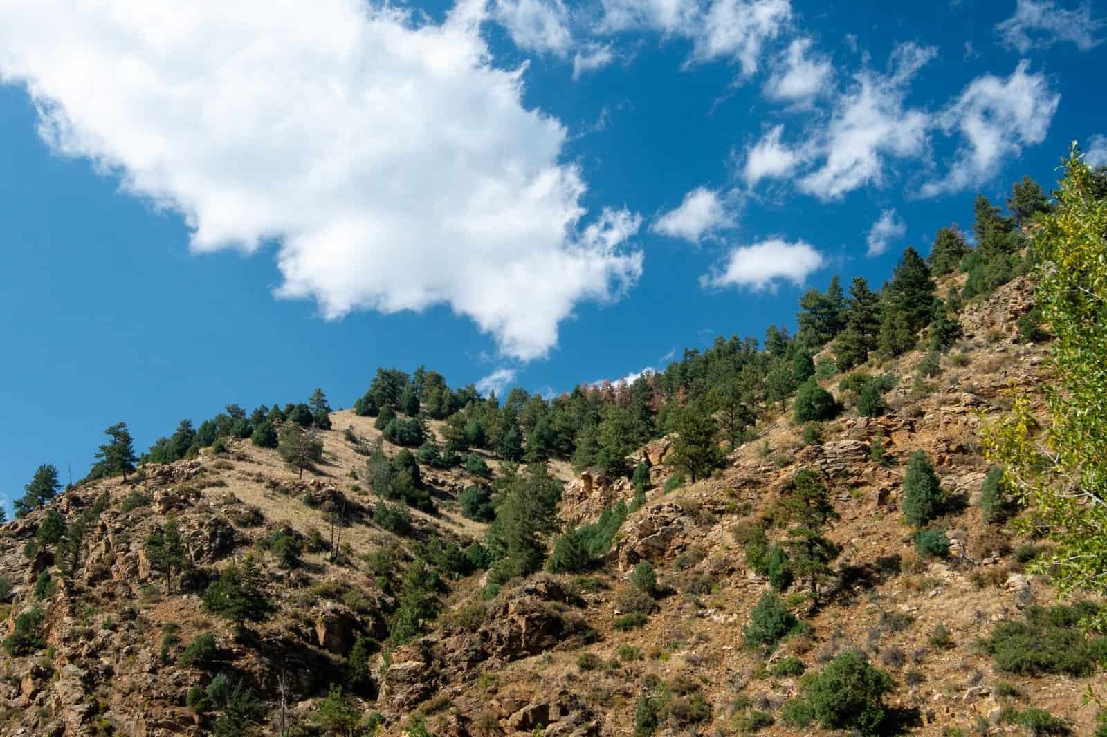
The valley has a small population spread across several counties, including Alamosa, Rio Grande, Conejos, Saguache, Costilla, and Mineral. Towns are separated by long stretches of flat farmland, with highways that run straight for miles. The pace is slow, the sky is huge, and in every direction there is either a snow-capped peak or a field.
Below are the places you are most likely to visit, with what to expect in each.
Alamosa: The Valley’s Hub
Alamosa is the largest town in the valley, with roughly 10,000 people, and it serves as the commercial and educational center. Adams State University sits here, along with a regional hospital, a rail yard, and most of the chain restaurants and hotels. The Rio Grande runs through town, and a riverside path offers easy walks.
Main street has a mix of older brick buildings, local cafes, and shops, though much of the commercial activity is out along the highway. For visitors, Alamosa is the practical base: it has the most lodging, grocery stores, and gas stations, and it is the closest town to Great Sand Dunes National Park, about 35 miles northeast.
Monte Vista: Cranes and Farm Country
Monte Vista, about 20 miles west of Alamosa, is a farm town with a neat grid of streets and a collection of historic buildings. It is best known for the sandhill cranes that stop in nearby wetlands, with the Monte Vista Crane Festival drawing birders each March. The surrounding fields grow potatoes, barley, and alfalfa.
Expect quiet streets, an old movie theater, and a handful of restaurants. The Monte Vista National Wildlife Refuge, just south of town, offers a driving loop and viewing areas, and it is free or low cost to visit. If you are interested in agriculture, you will see center-pivot irrigation systems and potato storage buildings along the highway.
Center: A Potato Town in Its Purest Form
Center, to the northeast, may be the most potato-focused town in the valley. The roads are lined with fields and storage sheds, and the town is home to many farm workers and families with long roots in the area. It is small, with a modest main street and a strong sense of community.
Center is less visited than Alamosa or Monte Vista, and that is part of its appeal. You will not find boutiques, but you will see how the valley’s farm economy works: harvest season in the fall brings trucks, workers, and activity, and the work continues year-round in the storage and packing sheds.
San Luis: Colorado’s Oldest Town
San Luis, in Costilla County near the New Mexico border, is the oldest continuously inhabited town in Colorado, founded in 1851 by Hispanic settlers. It has adobe buildings, a historic plaza, and the Shrine of the Stations of the Cross, a hillside trail with bronze sculptures that attracts pilgrims and visitors.
The town is small and quiet, with deep Hispano heritage and a local economy based on ranching, small businesses, and tourism. The Culebra Range rises to the east, and the area feels more like northern New Mexico than the Colorado most travelers know. San Luis is one of the best places in the state to see how Hispanic culture shaped the region.
Antonito and the Cumbres & Toltec Railroad
Antonito, near the New Mexico line, is the Colorado terminus for the Cumbres & Toltec Scenic Railroad, a narrow-gauge steam train that runs through the San Juan Mountains to Chama, New Mexico. The town has a Hispanic heritage and a main street with a few small shops and restaurants.
The railroad is the draw, and the season typically runs from late spring through early fall. Antonito itself is small and rural, with a handful of lodging options. The surrounding landscape of sagebrush and mesas feels remote and open.
Del Norte and Saguache: Gateways to the Mountains
On the western and northern edges of the valley, Del Norte and Saguache serve as gateways to the mountains. Del Norte sits where the Rio Grande leaves the San Juan Mountains, and it has a historic downtown, outfitters, and access to fishing and hunting. Saguache is a tiny county seat with a courthouse, a few shops, and a relaxed pace.
Both towns offer a glimpse of a valley that has changed slowly. You will find ranchers, retirees, and outdoor lovers living side by side, and a handful of local restaurants and inns.
The Landscape Around the Towns
The towns make more sense once you understand the land. The valley floor is a former lakebed, ringed by mountains that trap moisture and shed it as snowmelt. The Rio Grande and other streams feed an extensive irrigation system, and underground aquifers are central to farming. Rainfall is low, often under 10 inches a year, which makes it one of the driest places in Colorado.
At Great Sand Dunes National Park and Preserve, winds have piled sand into dunes that rise hundreds of feet, the tallest in North America, set against the Sangre de Cristo range. Medano Creek, which flows seasonally at the base of the dunes, creates a temporary beach in spring and early summer. Together with the farms and the mountains, the dunes give the valley an unmistakable look.
Why Potatoes Work Here
High elevation, cool nights, and abundant sunshine help produce potatoes with a thin skin and good storage quality. Irrigation water from snowmelt supports large fields, and the cool climate reduces some pests and diseases. Growers plant in spring and harvest in late summer and fall, with storage sheds keeping potatoes fresh through winter.
The industry supports many jobs, from farm labor to trucking and packing. It also depends on water, and long-term drought, aquifer levels, and rules governing water use are major concerns for farmers and residents.
What Visitors Should Know
The valley is not a typical tourist destination, which is part of its charm. A few practical tips make a visit easier.
- Distances are long. Plan on driving 20 to 40 miles between towns.
- Services are limited outside Alamosa, so fill your gas tank and carry water and snacks.
- Winters are cold, with nighttime temperatures often well below zero in January. Summers are mild, with warm days and cool nights.
- Altitude matters. At 7,500 feet and above, you may feel breathless, dehydrated, or sleepy on your first day.
- Wind can be strong in spring, especially at the dunes, so bring layers and eye protection.
- Many shops and restaurants keep limited hours, so check before you go.
A Sample Two-Day Visit
You can see a lot of the valley in two days.
- Day one: Start in Alamosa for breakfast, then drive to Great Sand Dunes National Park for a hike on the dunes, remembering that sand can be very hot in summer. Return through Alamosa and have dinner downtown.
- Day two: Drive to Monte Vista for the wildlife refuge, continue to Del Norte for lunch, and head south through Antonito to see the railroad depot. If you have time, add San Luis for the Stations of the Cross shrine.
Add a third day to ride the Cumbres & Toltec railroad or to explore hot springs, such as those near Mount Princeton or Splashland in Alamosa.
What Locals Are Proud Of
Residents of the San Luis Valley talk about water, family, and the land. Many families have farmed or ranched the same acreage for generations, and Hispano communities trace their roots back to the nineteenth century and earlier. The valley’s cultural calendar includes festivals, religious processions, and fairs, such as the Alamosa County fair and local celebrations tied to Catholic feast days.
The valley is not trying to be a resort. It is a working landscape, and visitors who show up with curiosity and respect tend to be welcomed. Spend time in a diner, buy local potatoes, and talk to people about the water and the weather. You will learn more than from any guidebook.
The Bottom Line
The San Luis Valley sits at roughly 7,500 feet, and it grows a large share of the nation’s fresh potatoes. Its towns, from Alamosa to San Luis, are small, quiet, and deeply tied to farming, faith, and family. They look like farm towns under big mountains, and that combination is hard to find anywhere else in Colorado.