We may earn money or products from the companies mentioned in this post. This means if you click on the link and purchase the item, I will receive a small commission at no extra cost to you ... you're just helping re-supply our family's travel fund.
For a brief moment in the early 2000s, a discovery off Cuba’s western coast hinted at a mystery big enough to rewrite human history. Sonar scans revealed shapes that looked uncannily deliberate; straight edges, large blocks, and geometric patterns resting far below the sea. Media interest surged, speculation exploded, and then, almost quietly, the story faded. What follows isn’t a tale of conspiracy, but a layered explanation involving science, depth, money, and unanswered questions that still linger beneath 700 meters of water.
1. The Discovery That Sparked Global Curiosity
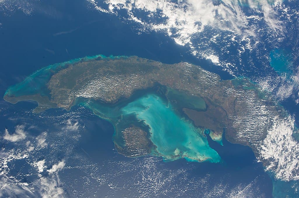
In 2001, an exploration team surveying waters near the Guanahacabibes Peninsula detected unusual formations roughly 800 meters below sea level. Sonar imaging showed stone-like structures spread across nearly 2 square kilometers, with individual blocks estimated to weigh between 10 and 40 tons. At least 5 major clusters appeared rectangular or pyramid-like, triggering global attention. The depth alone was shocking, as it exceeded most known submerged settlements by over 600 meters. Initial surveys logged more than 3 hours of continuous imaging, yet only limited visual confirmation was achieved due to extreme pressure and visibility constraints at that depth.
2. Why the Shapes Look Artificial to the Human Eye
Human perception plays a major role in why the site feels unsettling. Sonar returns suggested right angles close to 90 degrees, flat surfaces spanning 20–30 meters, and layered formations stacked in sequences of 4 to 6 levels. The human brain instinctively associates symmetry with design, especially when patterns repeat across distances exceeding 1 kilometer. Geological formations can fracture naturally, but repetition at this scale is statistically uncommon. Still, without physical samples or tool marks, even patterns measured with ±2% alignment accuracy remain suggestive rather than conclusive.
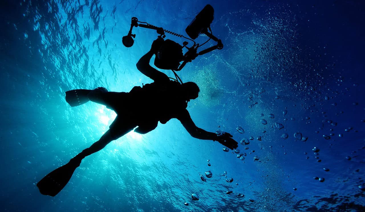
3. The Depth Problem That Stops Further Exploration
Depth is the single biggest reason the site remains untouched. At approximately 700–750 meters, pressure exceeds 70 times that at sea level. Only specialized remotely operated vehicles rated beyond 1,000 meters can function safely, and each deployment can cost between $40,000 and $70,000 per day. A proper survey would require at least 20 operational days, pushing projected costs beyond $1 million. For comparison, most confirmed underwater ruins sit above 100 meters. The financial risk is high when the probability of human origin remains unproven.
4. Geological Timelines That Don’t Match Human History
Sea level data complicates the mystery further. Over the past 12,000 years, global sea levels rose approximately 120 meters after the last ice age. This site lies more than 6 times deeper than that shift. To place the structures above water, massive tectonic subsidence would need to occur at rates exceeding 1 meter per century far faster than regional geological records suggest. Core samples from nearby areas indicate slow vertical movement measured in millimeters per year, pointing to natural rock formations shaped over tens of thousands of years, not human construction eras.
5. Why the Story Quietly Disappeared From Headlines
Public attention faded not due to suppression, but stagnation. After the initial surveys, no follow-up missions produced new data, images, or samples. Without artifacts, tools, pottery, carvings, or organic remains scientific interest declined. Academic journals rarely publish hypotheses without physical evidence, and funding agencies prioritize sites with clearer potential. Over time, the story shifted into online forums and speculative media, where repetition replaced progress. With zero confirmed excavations since 2002 and no new measurements added, the mystery remains frozen in its original data set.