A 17-Mile Roadway Crosses Open Ocean Twice — Here’s What Makes the Chesapeake Bay Bridge-Tunnel So Unusual
We may earn money or products from the companies mentioned in this post. This means if you click on the link and purchase the item, I will receive a small commission at no extra cost to you ... you're just helping re-supply our family's travel fund.
The Chesapeake Bay Bridge-Tunnel, connecting Virginia’s Eastern Shore to the Norfolk-Virginia Beach metro area, stretches 17.6 miles across the mouth of the Chesapeake Bay, including two mile-long tunnel sections that dip beneath shipping channels to allow naval and commercial vessels to pass overhead, making it one of the longest bridge-tunnel complexes in the world, yet it remains almost entirely unknown to Americans outside the Mid-Atlantic region who never have reason to drive the specific stretch of coastline it serves.
Why It Was Built This Way
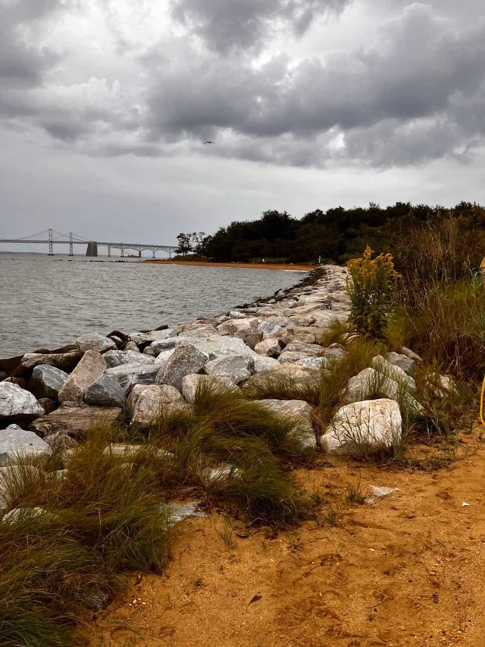
The Chesapeake Bay Bridge-Tunnel opened in 1964, replacing a ferry system that had previously provided the only vehicle connection between Virginia’s isolated Eastern Shore peninsula and the rest of the state, a ferry crossing that could take considerably longer and depended entirely on weather and sea conditions in a way the fixed crossing eliminated. The structure’s specific combination of bridge and tunnel sections reflects the U.S. Navy’s requirement that the shipping channels leading to Naval Station Norfolk, the largest naval base in the world, remain unobstructed by any bridge structure tall enough to interfere with aircraft carrier and other large vessel movement, forcing engineers to route the roadway underwater at exactly those two channel crossings.
This naval requirement makes the Bridge-Tunnel functionally similar in purpose to the Chesapeake Bay Bridge-Tunnel’s smaller regional cousin, the Hampton Roads Bridge-Tunnel, both structures designed around the same fundamental need to maintain unobstructed naval shipping access while still providing a fixed vehicle crossing across a body of water that would otherwise require an impractically long detour or an unreliable ferry system.
What Makes the Crossing Distinctive
- The bridge-tunnel has its own dedicated fishing pier facilities built into the structure, allowing anglers to fish directly from designated sections of the crossing itself, a feature almost no other major American bridge offers
- Sudden severe weather, including nor’easters and hurricanes, occasionally forces temporary closures, a real operational challenge given the crossing’s total exposure to open Chesapeake Bay and Atlantic-adjacent conditions
- The American Society of Civil Engineers named the crossing one of the modern Seven Engineering Wonders of the United States, recognition that hasn’t translated into broad public name recognition outside engineering circles
- Toll revenue funds both the structure’s ongoing maintenance and a separate parallel tunnel project completed in phases to reduce the bottleneck created by the original two-lane tunnel sections
The crossing’s remote location, connecting a lightly populated Eastern Shore peninsula to a metro area most Americans don’t associate with any famous nearby bridge or tunnel infrastructure, has kept it largely out of the same national infrastructure conversation that surrounds more famous crossings like the Golden Gate Bridge or the George Washington Bridge, despite the Chesapeake Bay Bridge-Tunnel’s genuinely comparable engineering significance.
What Virginia’s Eastern Shore Actually Offers
Virginia’s Eastern Shore, the peninsula the bridge-tunnel connects to the mainland, remains one of the least developed and most agricultural stretches of coastline on the entire Eastern Seaboard, a rural landscape of small fishing and farming communities that has avoided the intensive coastal development seen at destinations like Ocean City or the Outer Banks precisely because of its relative isolation, a condition the bridge-tunnel itself only partially resolved given the substantial toll cost and distance still involved in reaching it. Chincoteague Island and its wild pony population, along with several National Wildlife Refuges protecting significant migratory bird habitat, represent the Eastern Shore’s primary tourism draws, offering a considerably quieter, less commercialized coastal experience than more developed Mid-Atlantic beach destinations.
This combination of a genuinely remarkable engineering structure connecting to a genuinely undeveloped rural peninsula creates one of the more understated hidden dynamics in Mid-Atlantic geography: crossing an internationally significant piece of infrastructure simply to reach one of the region’s least-developed and least-visited coastal areas, an unusual pairing that most visitors driving the route probably don’t consciously register as noteworthy in either direction. Engineering enthusiasts and infrastructure tourism, a small but genuine travel niche, occasionally make the crossing specifically to experience the structure itself rather than to reach any particular destination on the Eastern Shore, treating the bridge-tunnel as a legitimate standalone attraction in the same category as other celebrated feats of American civil engineering, even though it receives nowhere near the recognition or visitor volume of more famous bridges with comparable engineering significance. The toll cost for a standard vehicle crossing runs in the range of $18 to $20 each way as of recent published rates, a genuinely significant expense for a single crossing that has occasionally drawn criticism from Eastern Shore residents who rely on the structure for regular commuting and commerce rather than as an occasional tourist novelty, illustrating how the same piece of infrastructure can function simultaneously as a celebrated engineering attraction for visitors and an expensive daily necessity for the permanent population it serves. Commuter discount programs exist specifically to offset this cost burden for Eastern Shore residents who cross regularly for work, though the underlying toll revenue remains essential to funding the structure’s substantial ongoing maintenance costs, an expense considerably higher than for a comparable length of conventional highway given the specialized engineering required to keep the tunnel sections watertight and operational. The Chesapeake Bay Bridge and Tunnel District, the public authority that operates the crossing, functions independently of Virginia’s state transportation department, funding its own operations entirely through toll revenue rather than general tax dollars, a self-sustaining financial model unusual among major American bridge and tunnel infrastructure. This financial independence has given the district considerable flexibility in planning its own long-term maintenance and expansion projects without competing directly against other state transportation priorities for general fund appropriations, a structural advantage that has helped the aging structure keep pace with modern safety and capacity standards. The district has used this flexibility to fund a multi-decade parallel span construction project, gradually widening the crossing’s capacity in phases without ever fully closing the original structure to traffic, a logistically complex undertaking made possible specifically by the toll-funded financial model’s independence from broader state budget cycles. That expansion project remains ongoing, with completion timelines extending years into the future given the technical complexity of adding capacity to a structure that must remain operational throughout construction.