We may earn money or products from the companies mentioned in this post. This means if you click on the link and purchase the item, I will receive a small commission at no extra cost to you ... you're just helping re-supply our family's travel fund.

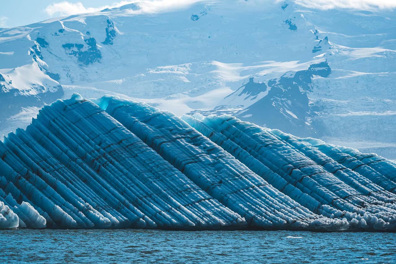
Greenland has long been viewed as a vast, frozen shield, important for climate studies, but largely passive in how scientists understood Earth’s deeper systems. That assumption has now been disrupted. Using advanced radar, seismic imaging, satellite data, and thermal modeling, researchers have uncovered surprising features beneath Greenland’s ice sheet that challenge long-held ideas about geology, heat flow, and ice stability. These findings don’t just refine climate models; they reshape how scientists understand interactions between Earth’s interior, surface ice, and rising seas. Below are five major discoveries, each revealing a different layer of this complex and evolving picture.
1. Hidden Heat Flow Beneath the Ice Sheet
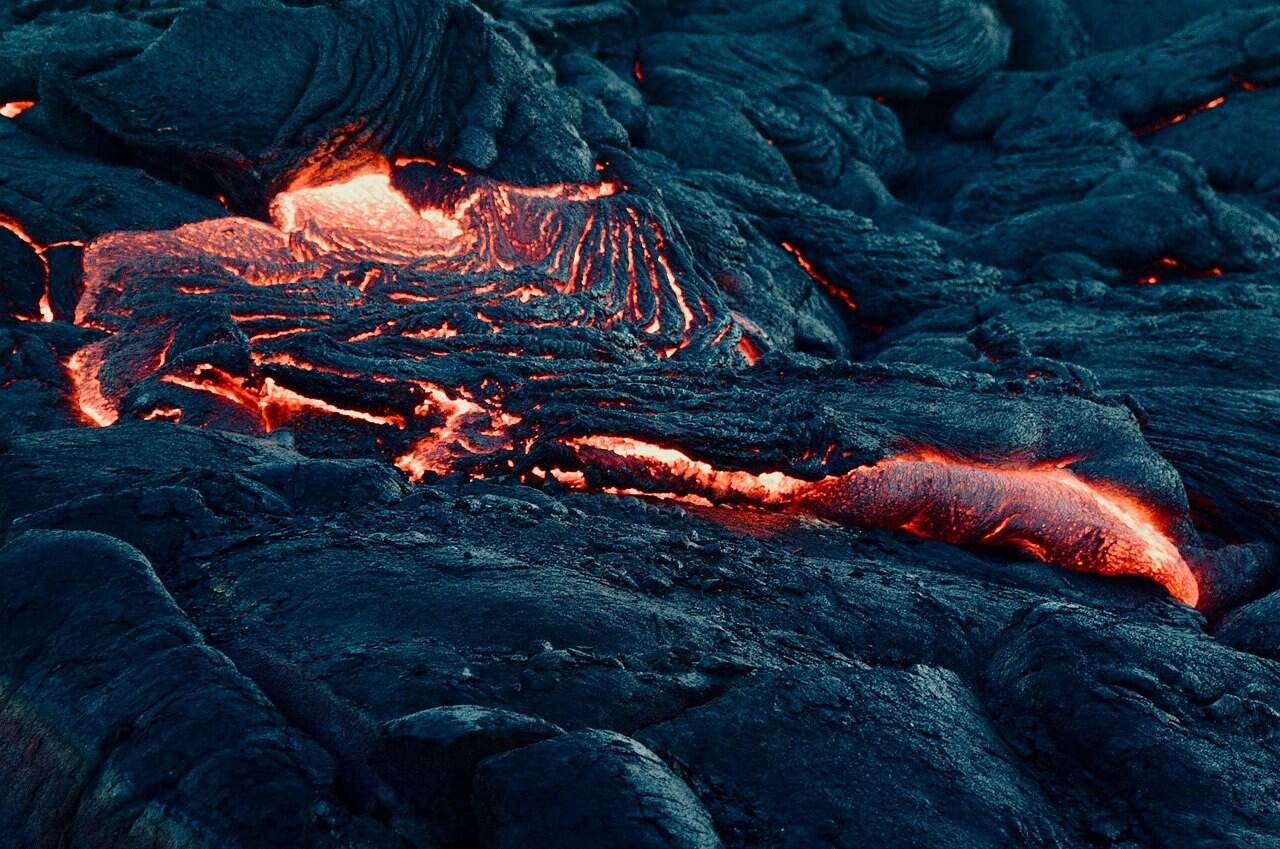
Scientists discovered unusually high geothermal heat beneath parts of Greenland, measuring 50–75 milliwatts per square meter, compared to the global continental average of about 40 mW/m². This hidden heat originates from deep mantle structures and ancient tectonic activity once thought inactive. The warmth melts ice at the base, creating liquid water that lubricates ice movement. Even a 1–2°C increase at the base can double ice flow speed in some regions. This finding forces scientists to rethink Greenland as a cold, uniform block, instead revealing it as a dynamic system influenced by Earth’s internal energy.
2. Vast Subglacial Water Networks Discovered
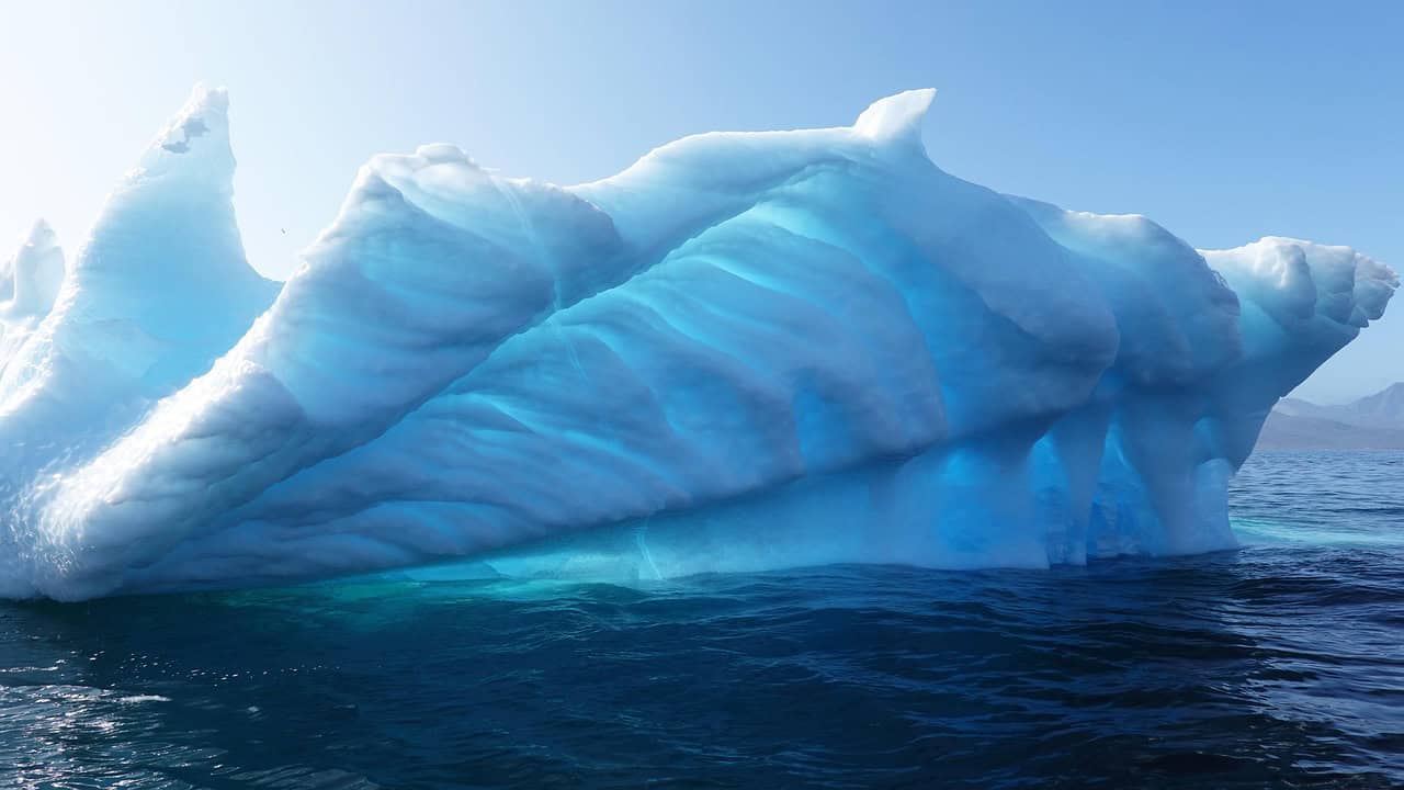
Radar surveys revealed interconnected lakes and rivers beneath the ice, some stretching over 160 kilometers. More than 400 subglacial lakes have now been identified, many holding millions of cubic meters of water. These hidden reservoirs periodically drain, accelerating ice flow by up to 30% during release events. Previously, meltwater was believed to come mainly from surface melting. This discovery shows basal water plays a far larger role in ice dynamics, altering projections for how quickly Greenland can contribute to global sea-level rise.
3. Ancient Crater Reshaping Geological History
Beneath northwest Greenland, scientists confirmed a massive impact crater measuring 31 kilometers wide, formed around 58 million years ago. The asteroid impact fractured bedrock deep below the ice, weakening structural support. These fractures channel heat and water upward, increasing basal melting today. The crater predates major ice formation, meaning Greenland’s ice sheet developed over damaged terrain. This challenges earlier models that assumed stable bedrock and shows how ancient cosmic events still influence modern climate behavior and ice stability.
4. Faster Ice Movement Than Predicted
Satellite data from 1995 to 2023 shows some Greenland glaciers now move 20–40% faster than models predicted. Jakobshavn Glacier alone has discharged ice at rates exceeding 35 billion tons per year during peak periods. Scientists now link this acceleration to basal heat and water rather than air temperature alone. This discovery shifts climate modeling away from surface-only warming and highlights how subsurface processes can amplify ice loss, making sea-level rise projections more urgent and complex.
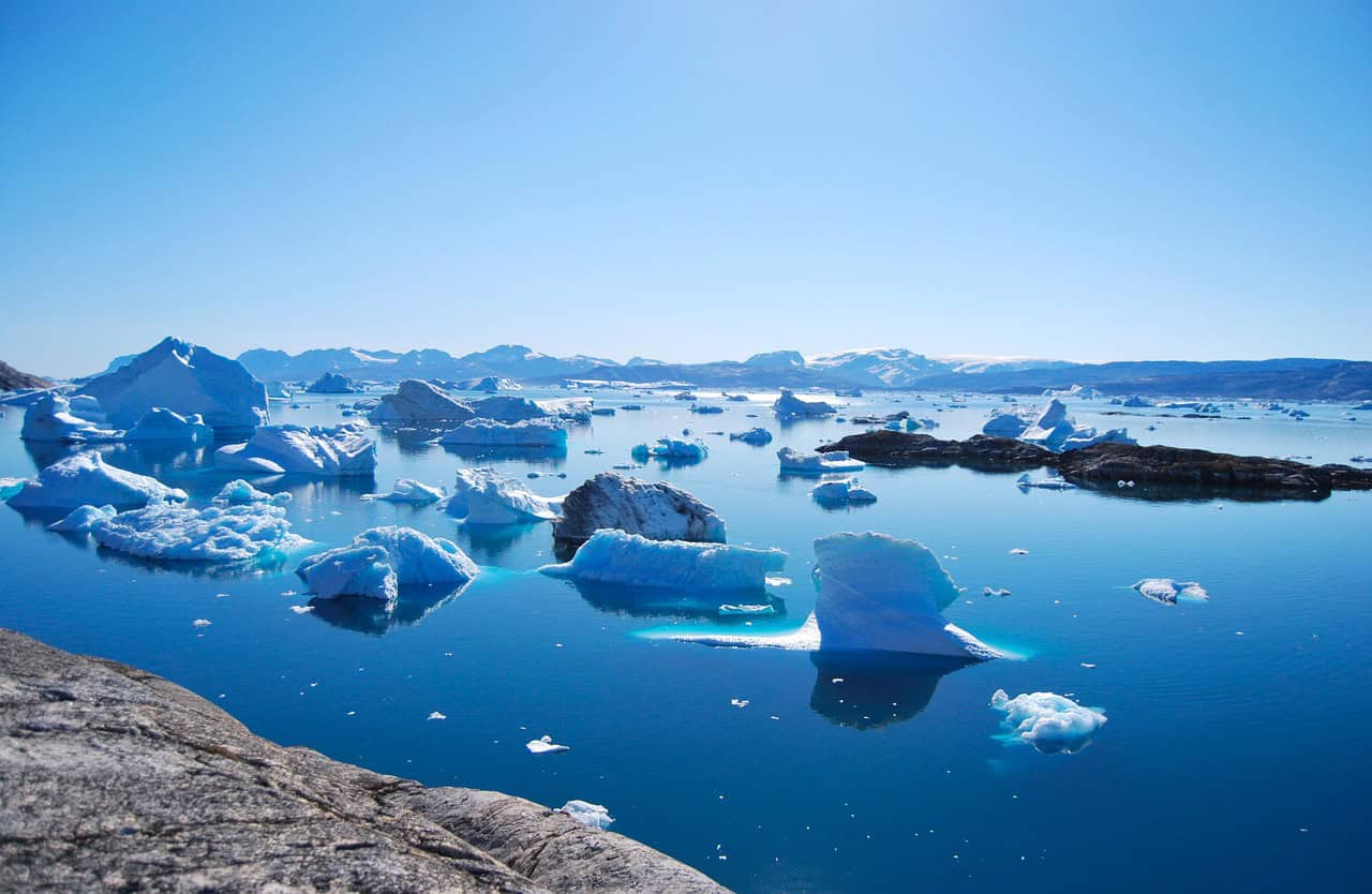
5. Rethinking Sea-Level Rise Timelines

With new data incorporated, revised models suggest Greenland could contribute up to 10–18 centimeters of sea-level rise by 2100, compared to earlier estimates of 6–10 centimeters. The difference comes from accounting for geothermal heat, weakened bedrock, and subglacial water flow. Even a 0.5 millimeter per year increase has major global impacts on coastal cities. This discovery changes not just scientific understanding, but also risk planning, forcing governments to reconsider flood defenses and long-term coastal strategies.