We may earn money or products from the companies mentioned in this post. This means if you click on the link and purchase the item, I will receive a small commission at no extra cost to you ... you're just helping re-supply our family's travel fund.

The headline sounds oceanic, but the discovery sits under jungle canopy in Mexico’s Campeche state, inside the Balamkú ecological reserve. Airborne LiDAR revealed a monumental Maya center that modern maps had missed, then ground teams walked ridgelines and wetlands to confirm plazas, pyramids, and stone columns. Named Ocomtún, the site adds a fresh chapter to how Classic-era communities organized space, managed water, and gathered for ceremony. What reads as a lost city is also a reminder that forests can preserve history in plain sight, waiting for patient eyes and better tools.
Balamkú’s Blank Spot On The Map
For years, a broad interior swath of Campeche stayed hard to read from the ground, where wetlands, dense canopy, and rough timber roads turned survey into a slow grind measured in bruises and lost daylight. Balamkú spans thousands of square kilometers of reserve forest between better-known Maya regions, so the empty space looked like a logistical gap, not a cultural one. After teams pushed about 60 km along timber tracks and followed LiDAR targets, plazas, terraces, and platform clusters appeared one after another, some with pyramidal bases and long straight walls, proving the map was incomplete, not the past.
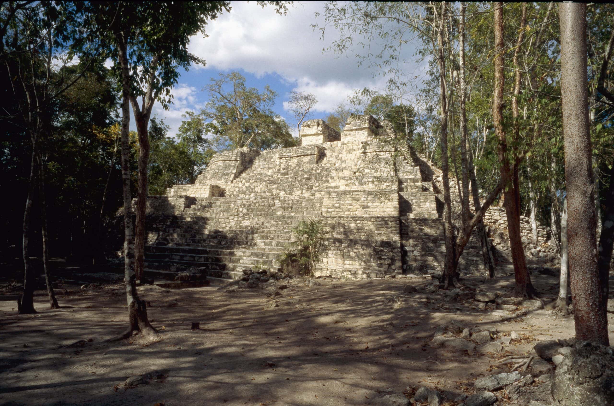
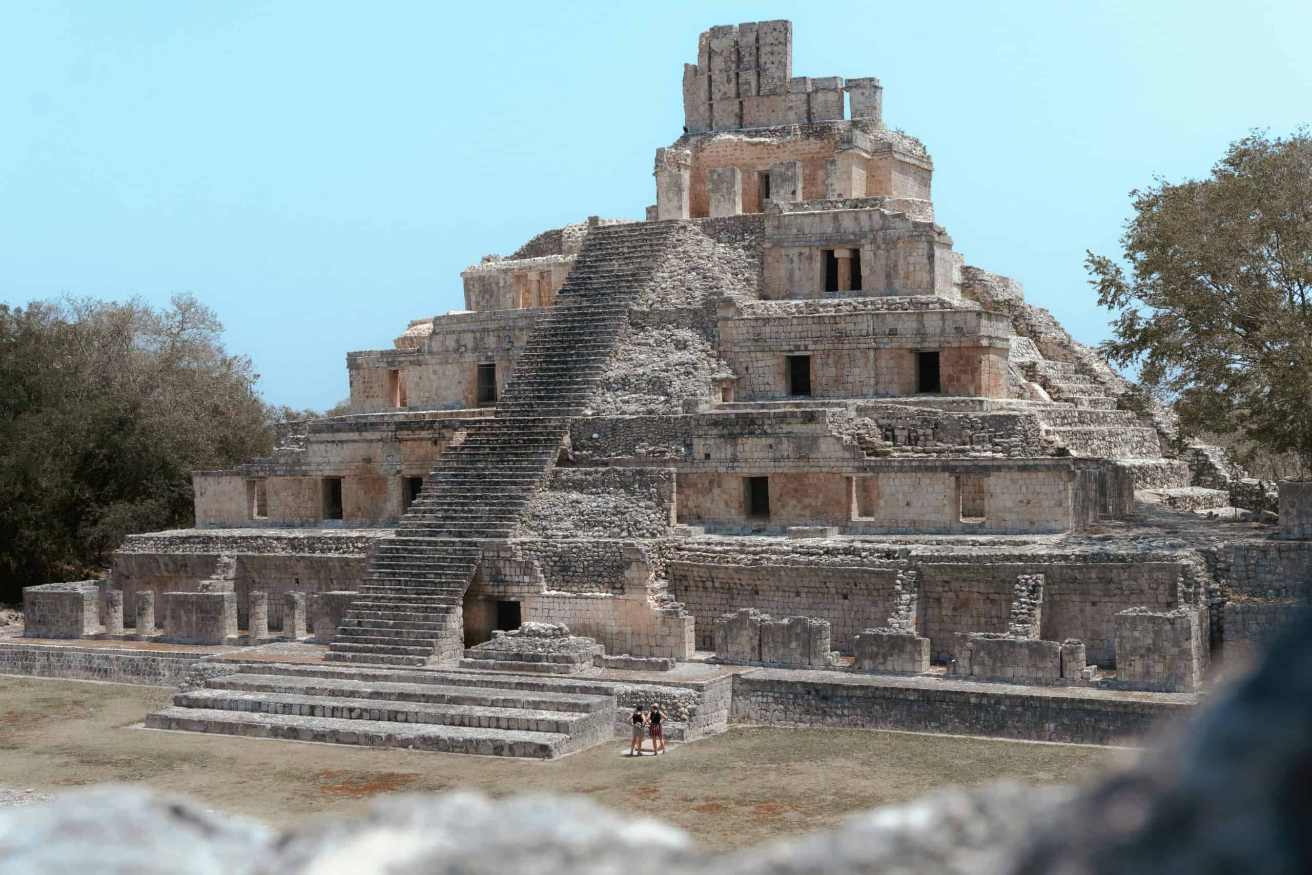
A City Named For Stone Columns

On the ground, one detail kept repeating: cylindrical stone columns scattered across the settlement, sometimes toppled like fallen trees, sometimes still marking the edges of rooms in neat intervals. The team chose the name Ocomtún, meaning stone column in Yucatec Maya, because the columns felt like the site’s signature and kept reappearing in different building groups. Columns often frame doorways, carry roofs, or support upper rooms, so their frequency hints at multi-level buildings and controlled entrances, turning the ruins into something that still feels inhabited in outline.
Plazas, Concentric Buildings, And A Ballcourt
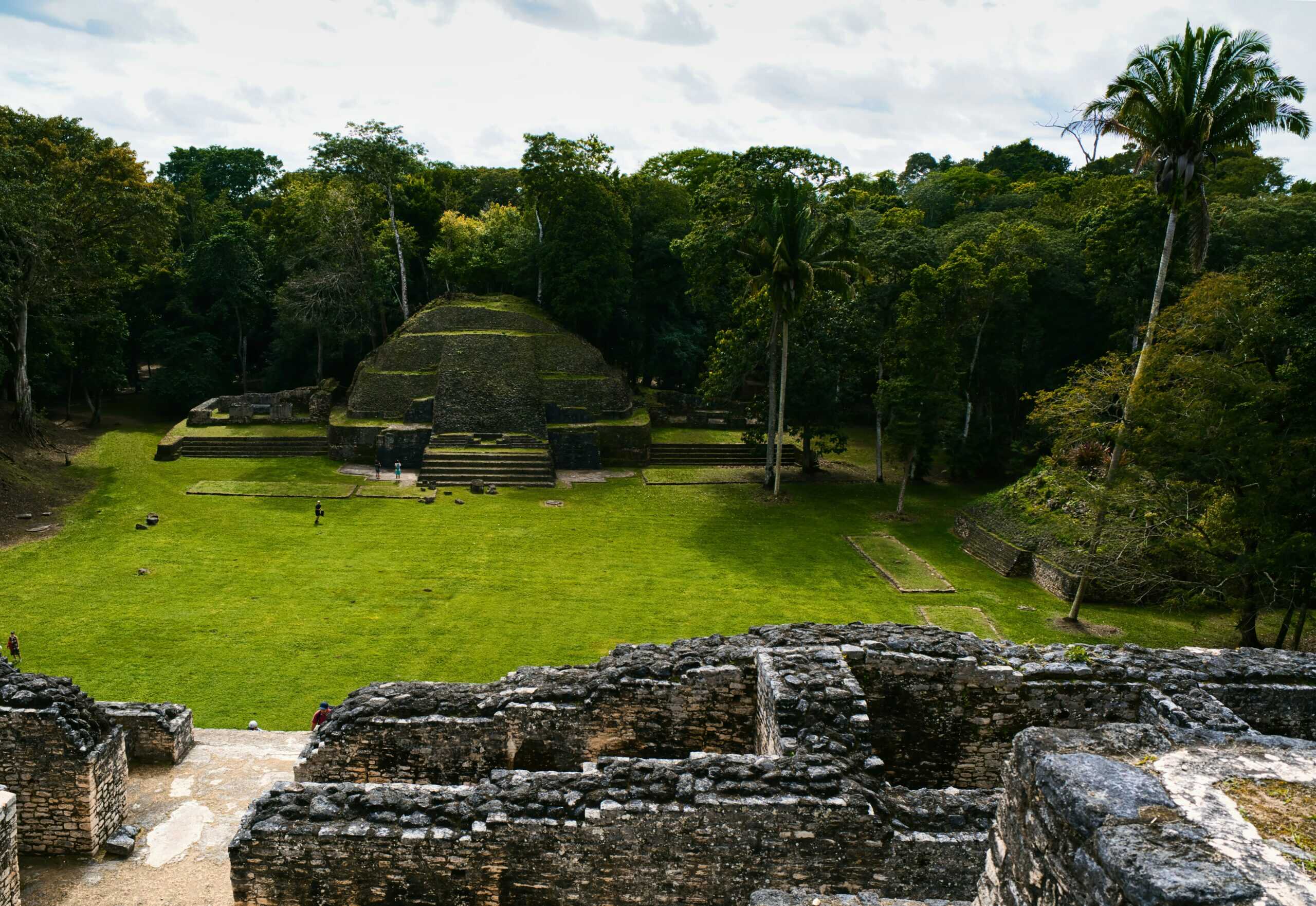
Ocomtún’s southeastern core gathers around three plazas, each anchored by imposing buildings and patio groups that read like stages for public life, bargaining, announcements, and ritual. Between the two largest plazas sit low, elongated structures arranged almost in concentric circles, an unusual form in a landscape filled with straight-edged compounds, and it suggests a different way of organizing shared space. A ballcourt lies within the complex, tying sport to ceremony and politics, and the spacing hints at crowds moving with intention, not wandering at random.
A Peninsula Of High Ground In Wetlands

The city occupies a peninsula of higher ground surrounded by wetlands, a setting that shapes travel routes, drainage, and seasonal food in ways still legible in the terrain and in the feel of the air underfoot. The monumental nucleus spreads across more than 50 hectares, with pyramidal structures rising above flat green and additional groups extending toward the La Rigueña River, as if the city leaned toward water without surrendering to it. That wetland ring likely helped keep the site hidden, because paths dissolve into soft ground, visibility collapses fast, and even small rises can look like ordinary forest until the geometry is measured.
Causeways And An Acropolis As A Power Signal
A raised causeway links the southeastern complex to the northwest zone, where the most voluminous construction concentrates attention and authority and where planners seemed intent on scale. There, a rectangular acropolis about 80 m on a side rises roughly 10 m high, topped by a pyramid that stands about 25 m above natural terrain, a mass that would have dominated a flat horizon. Even as a ruin, the acropolis reads as a deliberate power signal across wetland edges and clearings, and the causeway does more than connect places, it choreographs movement and decides where eyes lift.
Classic Era Hub, Late Classic Footprints
Pau de Valencia/Unsplash
Evidence so far points to Ocomtún functioning as a regional center in the Maya Classic period, roughly 250–1000 C.E., with surface ceramics strongly consistent with the Late Classic, around 600–800 C.E., when many cities reached their most elaborate forms. That timing places the site inside centuries of alliance, rivalry, and agricultural expansion, and it hints at officials managing labor, water, and food across a wide hinterland. Lab work will refine phases and test for earlier foundations, but the scale already suggests steady investment over generations, with planning that outlasted any single ruler.
A Neighborhood Of Other Hidden Centers
Ocomtún sits within a wider network of centers in central Campeche, alongside known zones and more recent finds such as Nadzcaan and Chactún, suggesting the forest hides a whole regional tapestry. Survey toward the La Rigueña River documented stairways, columns, altars, and repeated plaza patterns, sometimes paired with ballcourts, pointing to shared design habits and shared ideas about public gathering. Some complexes may have served as markets or communal ritual hubs, where people met beyond household ties, and each mapped node redraws how roads, trade, and influence once flowed across the wetlands.
Why It Feels Like A Lost City
The surprise is not that Maya cities existed in this forest, but that a monumental center remained unnamed on modern maps for so long, hidden in plain sight beneath leaves and assumptions. LiDAR reveals what eyes miss, yet it still requires patient walking to confirm every mound, stair, and terrace in wet heat and heavy shade, where a few meters can swallow a structure. Ocomtún also shows how conservation work and archaeology can overlap, turning older scans into new questions and new field seasons, until the jungle’s silence becomes a measured plan that can be studied and protected.