We may earn money or products from the companies mentioned in this post. This means if you click on the link and purchase the item, I will receive a small commission at no extra cost to you ... you're just helping re-supply our family's travel fund.
A line of stones on the seafloor can feel like a rumor made solid, especially when it sits where no wall should be. In the Baltic Sea off Germany, researchers mapped a nearly kilometer-long stone alignment now called the Blinkerwall, lying under about 21 meters of water. The structure looks deliberate, and its setting hints at a time when this coast was dry land. If the dating holds, it was built by hunter-gatherers at the end of the last Ice Age, long before writing, cities, or metal tools.
A Wall Under 21 Meters of Baltic Water

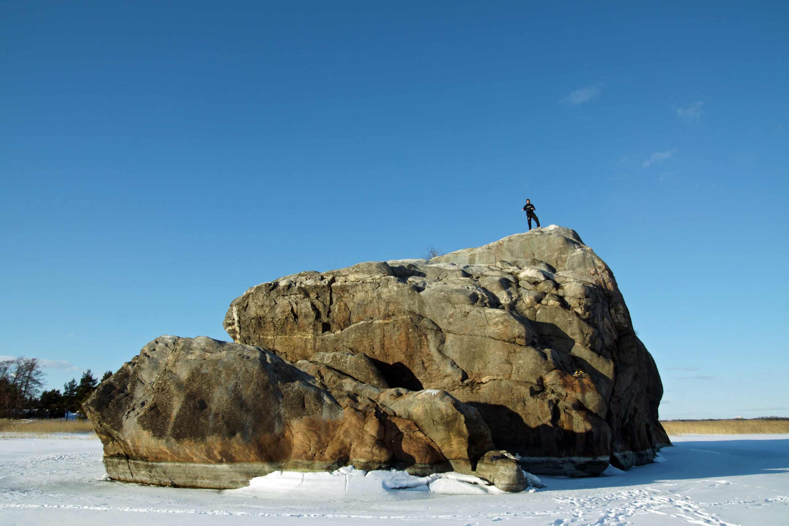
Blinkerwall lies in Mecklenburg Bay, roughly 10 km offshore near Rerik on Germany’s Baltic coast, where multibeam sonar during a student-led survey in 2021 showed an oddly straight, pale ribbon on the seabed. At about 21 meters deep, it sits beyond casual diving, so teams used repeated acoustic passes, GPS fixes, and diver photogrammetry to inspect key segments without losing the line in poor visibility. The surprise is scale: a low, continuous stone band running about 971 m, long enough to feel like infrastructure, yet subtle enough to vanish until modern mapping made it visible in the first place across a plain, drowned and silent for now.
Source:
Mapped Like a Landscape, Not a Relic

The find began as geology, not archaeology, during routine seafloor surveying that flagged a pattern too tidy to ignore on a chart. High-resolution multibeam and side-scan sonar, diver checks, and stitched 3D models revealed a flattened S-shaped alignment with consistent width and spacing across long stretches, not a random glacial scatter. That landscape view matters because it shows intent at the kilometer scale, and it lets researchers test alternatives by comparing the wall to nearby natural stone fields, currents, and ice-push ridges. Repeated passes sharpen the trace into a measurable line, letting stones be counted and gaps be tracked.
Source:
Built From Hundreds of Boulders and Smaller Stones
Researchers describe a construction of about 1,673 stones, including massive boulders linked by smaller granite blocks placed side by side like a stitched seam across the former plain. Most elements stand under 1 m tall, with an average height around 0.5 m, forming a low barrier that would have been obvious to animals at ground level without reading as a fortress to people. Guardian reporting notes roughly 300 large boulders tied together by around 1,400 smaller stones, a combination that suggests planning for visibility and continuity rather than height or spectacle. Even in cold light, the line reads as a deliberate edge, not a pile at all.
Source:
Why Scientists Think Nature Did Not Stack It
Glaciers can drop boulders in messy lines, and sea ice can shove stones into ridges, so the first question was whether Blinkerwall was a geological trick. Teams argue the regular spacing, consistent alignment, and long continuity do not match natural deposits in Mecklenburg Bay, especially with stones positioned deliberately side by side for nearly a kilometer. Researchers also note that the wall’s curvature and internal consistency differ from the patchy, uneven ridges left by ice, making deliberate human rearrangement the most parsimonious explanation so far. It does not end debate but it demands a natural process that can copy the pattern.
Source:
A Hunting Lane for Reindeer, Not a Defensive Wall
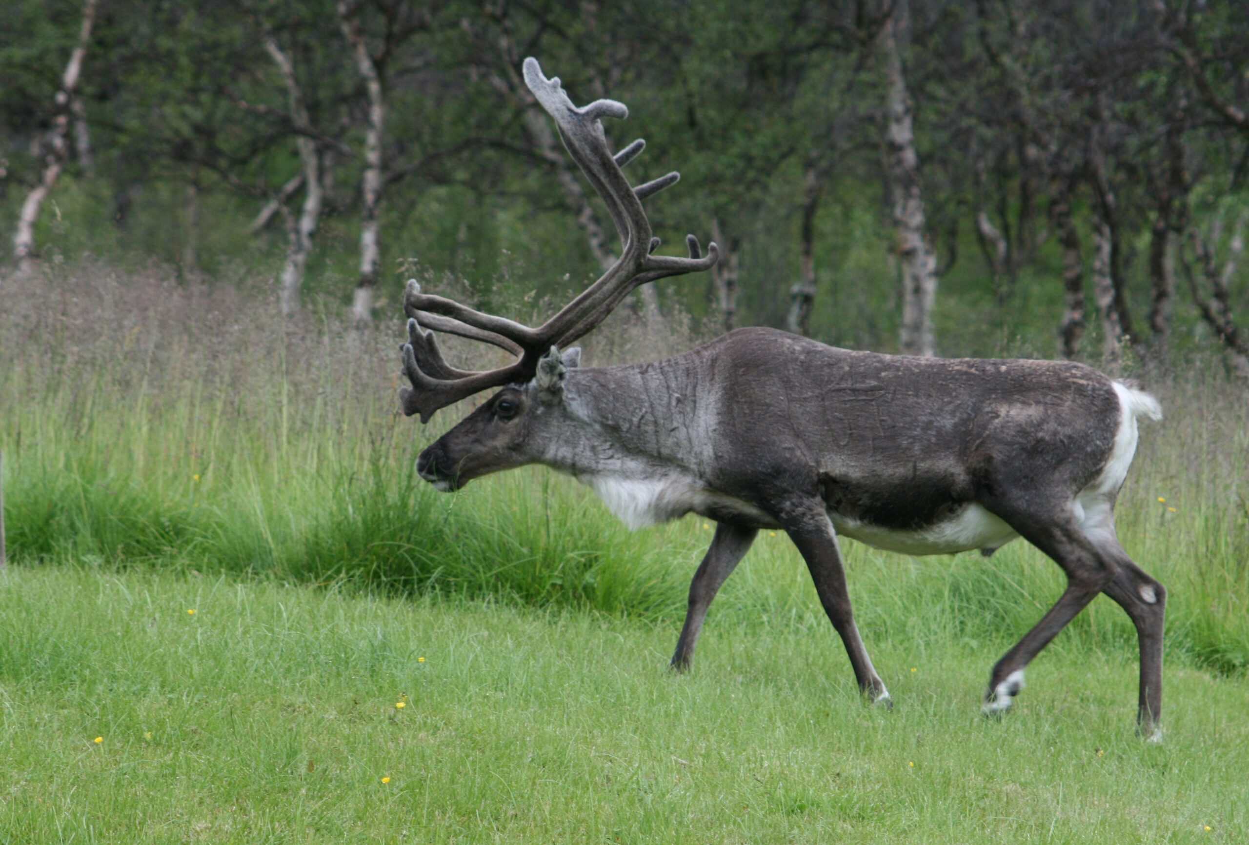
The leading idea is that Mesolithic hunter-gatherers built the wall as a drive line, guiding reindeer toward a bottleneck, shallow water, or waiting hunters with spears and later bows. Science reporting compares it to other communal hunting architectures that steer herds with minimal barriers, relying on animal reluctance to cross a visible line. Blinkerwall’s low height makes sense in that context: it turns open ground into a predictable corridor, helping a group time an ambush, share meat, and reduce risk in a landscape where winter could be unforgiving. The wall is less about trapping than guiding, a quiet nudge, repeated over generations.
Source:
Predates Known History Is a Headline, Not a Claim
Predates known history sounds like a challenge to textbooks, but it mainly means predates written records, which arrived thousands of years later and rarely mention ordinary labor. Archaeologists still build reliable timelines from sediments, shoreline history, and associated artifacts, so the wall fits within prehistory rather than floating outside it like legend. The real surprise is social, not mystical: a community without cities could still coordinate time, effort, and shared rules well enough to build infrastructure for food, then maintain it until it worked. It reads less like lost Atlantis and more like practical genius under pressure
Source:
How Dating Works When the Stones Themselves Cannot
Stone cannot be radiocarbon dated, so researchers turn to the drowned landscape around Blinkerwall, sampling sediments and organic traces that mark when this ground was last dry. They also compare the wall’s depth and setting to regional sea-level curves, using events such as the Littorina transgression to bracket when flooding made construction impossible. Next comes the evidence hunt on the seabed: artifacts, hearth traces, and animal remains, because a reindeer bone or stone tool found in clear context can tighten dates and confirm the wall’s purpose beyond reasonable doubt. Even a single cut mark can connect stones to hands in one scene..
Source: