We may earn money or products from the companies mentioned in this post. This means if you click on the link and purchase the item, I will receive a small commission at no extra cost to you ... you're just helping re-supply our family's travel fund.
In southwest Colorado, the same road that delivers some of America’s most unforgettable mountain views also carries a long reputation for crashes, closures, and hard lessons. The Million Dollar Highway section of U.S. 550, folded into the San Juan Skyway, runs through high passes, mining towns, and cliff-lined turns that can shift from postcard calm to white-knuckle driving in minutes. That tension gives the route its strange power and explains why local safety warnings matter as much as the scenery.
Where The Beauty And Risk Meet
bllkcbs/123rf
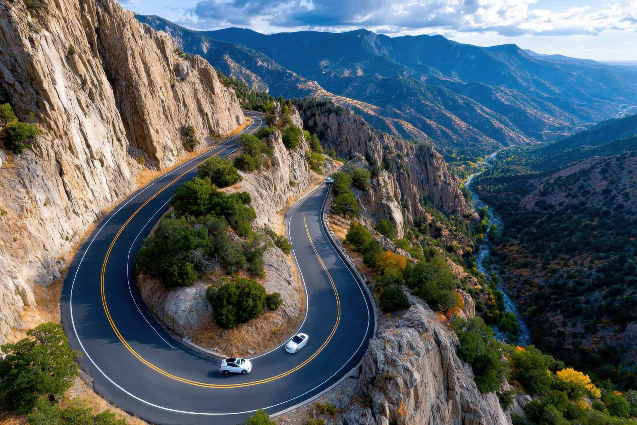
The route at the center of the contradiction is U.S. Highway 550’s Million Dollar Highway, the dramatic stretch between Ouray and Silverton that the Durango Herald said ranked second on a national deadliest-roads list cited in 2023. The same reporting pairs million-dollar views with hairpin turns, dangerous mountain conditions, and a history of crashes, which explains why the road is praised and feared in the same conversation. It is not a place where scenic status cancels risk, but a place where the landscape and the danger remain visible at the same time. The stakes feel immediate once traffic bunches up or weather closes in around the cliffs.
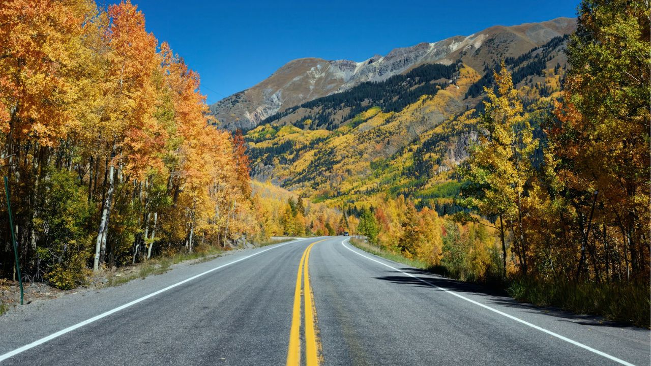
A Scenic Route With National Status
The Million Dollar Highway sits within the broader San Juan Skyway, a Colorado byway that CDOT lists at 236 miles and describes as a route connecting Durango, Telluride, Silverton, and Ouray, with Mesa Verde and long stretches of national forest folded into the drive. CDOT also notes that the San Juan Skyway received All-American Road designation in 1996, the highest scenic byway status, and federal byway materials echo that appeal with references to 14,000-foot peaks and Victorian towns. The road’s risk is real, but so is its standing as one of the West’s signature drives, which is exactly why the contrast feels so sharp. That wider setting is what makes the dangerous stretch feel even more unforgettable.
Red Mountain Pass Is The Defining Test
Karin Robert/Unsplash
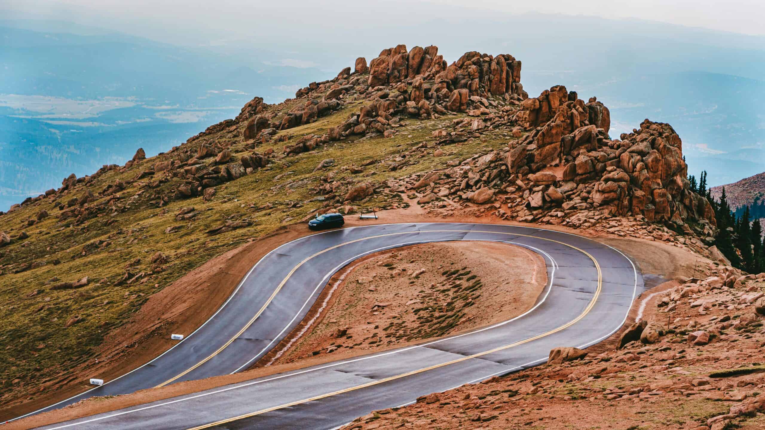
The road’s most intimidating personality shows itself near Red Mountain Pass, where the Durango Herald reports the summit reaches 11,018 feet and the route then drops sharply toward Ouray. That same reporting notes the famous stretch is only about 25 miles, yet it can still take 45 minutes or more in good weather because of tight curves, steep grades, and constant elevation change. In practical terms, the drive is less about mileage than endurance, because the road demands steady focus through curve after curve, with very little margin for rushed decisions. There is little downtime between decisions, especially when visibility shifts around the next bend.
No Guardrails, By Design
One detail that unsettles first-time drivers is the absence of guardrails on many exposed sections, especially where the drop-offs become part of the view. The Durango Herald reports the highway was built without guardrails in part because heavy snowfall, around 300 inches a year in that corridor, requires plows to push snow off the road edge during winter operations. On a clear day that design can look cinematic, but in poor weather or fading light it leaves almost no visual buffer between a routine steering correction and a serious mistake, which is part of why the route feels mentally demanding even at lower speeds. It can feel unforgiving in bad light.
Avalanche Country Changes The Rules
This is not only a curve-and-cliff road, because it also runs through avalanche terrain above Red Mountain Pass where CDOT identifies known slide paths including Blue Point, Blue Willow, and Mother Cline. CDOT installed remote Gazex and O’bellx systems there to trigger controlled avalanches more safely and efficiently, and the agency notes that closures are part of standard avalanche control when risk is high. That mitigation work makes travel safer, but it also confirms that road conditions here are shaped by active mountain hazards, not just ordinary traffic, and timing can matter as much as driving skill on any given day. The route is actively managed, but never completely simplified by that work.
Most Crashes Start With Ordinary Mistakes
Local reporting on the highway points less to dramatic legend and more to familiar driving errors, with the Durango Herald citing roughly 40 accidents a year on the Million Dollar Highway and an average of seven deaths. That same reporting links many crashes to fast or careless driving in bad conditions, while also naming mudslides, weather, and wildlife on narrow sections where there is little room to recover. Colorado’s DMV mountain driving guidance reinforces the pattern by warning about steep hills, changing weather, bicyclists, wildlife, and rocks on the roadway, all of which turn small lapses into larger consequences on a route like this. Consequences rise fast here.
Preparation Matters More Than Confidence
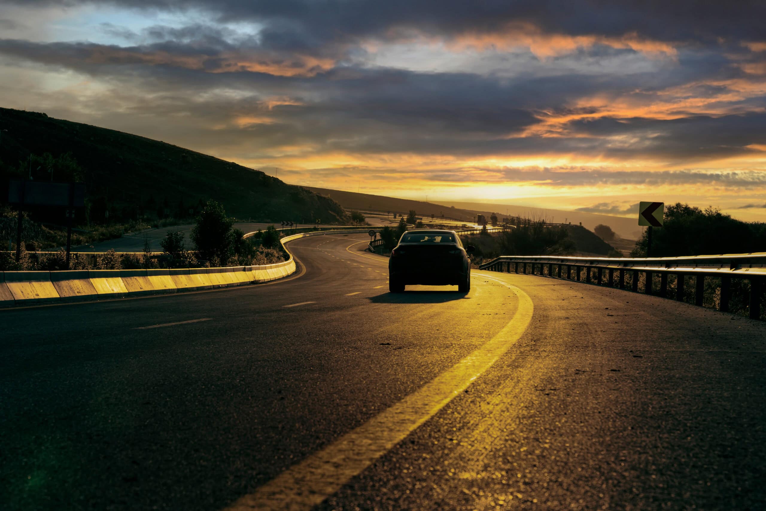
Colorado state guidance treats mountain driving as its own skill, not a routine extension of ordinary highway travel, and that distinction matters on U.S. 550. The DMV advises lower gears on steep descents and warns that passing in the oncoming lane is illegal where curves or hills block visibility, while CDOT winter guidance adds basics like checking brakes and tire tread, carrying chains, and slowing for conditions. CDOT also urges drivers to avoid combining braking, turning, and accelerating at the same time on snow or ice, a small rule that becomes especially important on narrow, exposed grades with abrupt turns. The safest drives usually start with slow decisions well before the pass begins.
Why The Route Still Feels Worth Remembering
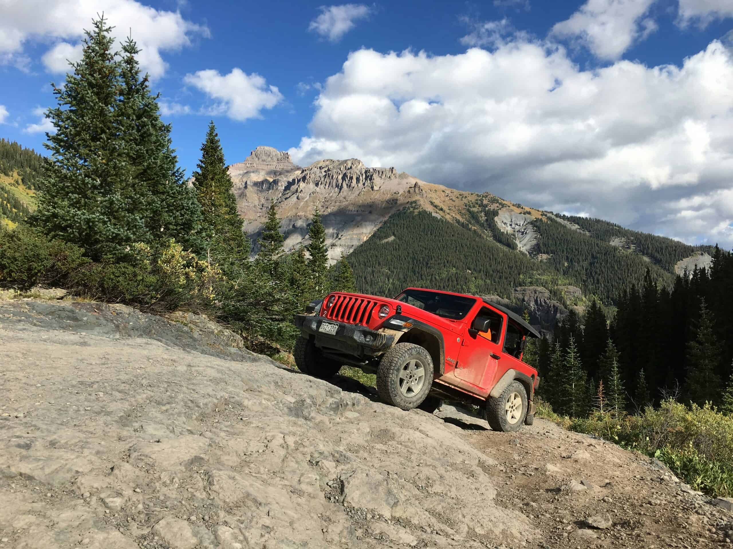
Even with the warnings, the road continues to pull people in because the surrounding landscape is genuinely extraordinary, and CDOT’s byway description leans into deep alpine valleys, 14,000-foot peaks, and old mountain towns. The wider San Juan Skyway also layers in places like Durango, Telluride, Silverton, and Ouray, so the drive carries cultural texture as well as dramatic views and high passes. What makes the route memorable is not only scenery, but the way the mountains still set the pace, the weather still interrupts plans, and the road still asks for respect before it offers the reward. It feels earned, and that is a big part of its lasting hold on travelers.