We may earn money or products from the companies mentioned in this post. This means if you click on the link and purchase the item, I will receive a small commission at no extra cost to you ... you're just helping re-supply our family's travel fund.

The United States is home to numerous ghost towns, but a few lie submerged beneath lakes and reservoirs, visible only when water levels drop. These underwater settlements often tell tales of communities uprooted for industrial projects, dams, or reservoirs, leaving behind remnants of streets, foundations, and buildings. For adventurers, photographers, and history enthusiasts, these partially exposed towns provide an eerie glimpse into the past. Below are five notable examples where the past resurfaces in hauntingly tangible ways.
1. St. Thomas, Nevada

St. Thomas was a thriving Mormon settlement with a population of around 500 in the 1930s. The town was abandoned and submerged during the creation of Lake Mead after the Hoover Dam project in 1935. During droughts, up to 40% of the original town’s structures, including stone foundations, old streets, and building remnants, emerge above the water. Visitors walking along the exposed areas often describe an uncanny experience, imagining the bustling life that once existed. Its visibility varies depending on lake levels, typically dropping below 1,050 feet above sea level.
2. Kennett, California
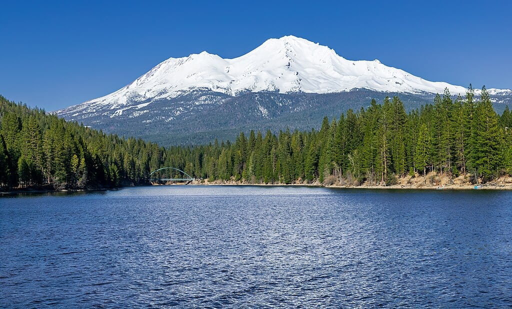
Kennett was a railroad and mining hub with a peak population of about 1,200 in the early 20th century. In 1941, Shasta Lake was formed, submerging the town entirely. During periods of extreme drought, foundations, streets, and sections of old railways appear, creating a ghostly landscape. Divers can explore submerged structures up to 60 feet underwater, while photographers capture fragments emerging from the lake. Seasonal water fluctuations are monitored, with the town usually visible when the lake falls below 1,050 feet, making it a haunting reminder of industrial progress and community displacement.
3. Conowingo, Maryland

The original town of Conowingo, population roughly 300 in the 1920s, was flooded intentionally to create the Conowingo Reservoir behind the Conowingo Dam. Extreme droughts can reveal up to 35% of old foundations, streets, and bridge remnants. Boaters often spot straight-line outlines of old roads, and submerged homes can sometimes be seen just below the water’s surface. The reservoir, spanning 8,200 acres, fluctuates seasonally, exposing the ghost town only when water levels fall below 108 feet. The site now serves as a serene yet haunting reminder of early 20th-century engineering projects and their impact on small communities.
4. Monte Carlo, West Virginia
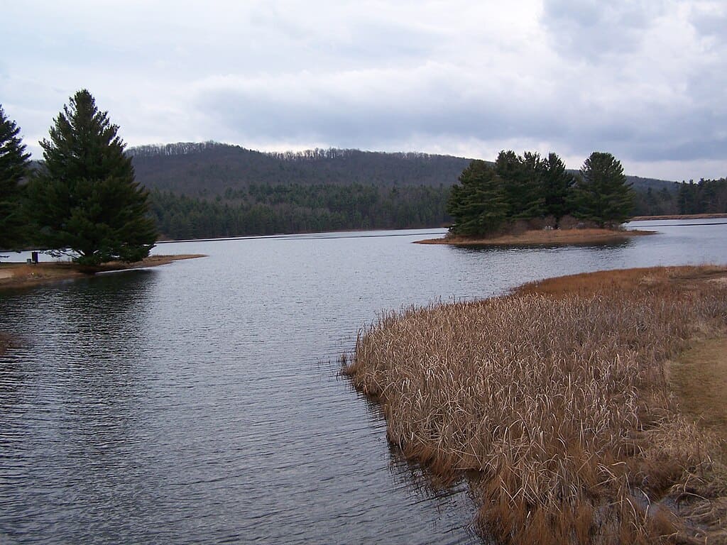
Monte Carlo, a small mining and farming community with a population of about 150, was flooded to form a reservoir in the 1940s. Remnants of sidewalks, stone walls, and building foundations can reappear during low water conditions, especially when the reservoir drops more than 20 feet below its normal level. The ghost town’s visible structures provide a striking contrast with the surrounding forested landscape. Local folklore claims that on quiet mornings, reflections of the old town on the water can be seen from a mile away, making it both a haunting and photogenic site for history enthusiasts and explorers alike.
5. Old Adaminaby (California counterpart), California
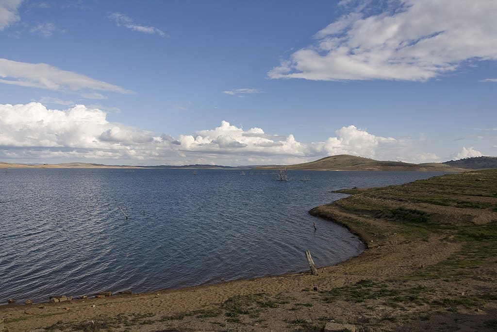
Although better known in Australia, small U.S. towns like those in California’s Sierra Nevada were submerged for reservoirs in the early 20th century. Populations ranged from 100–400 residents. During severe droughts, remnants such as chimney stacks, stone walls, and streets rise above water, with up to 30% of the town occasionally visible. Kayakers and hikers often explore these exposed areas, witnessing a frozen moment in time. Water levels for visibility typically drop below 2,200 feet above sea level, providing a rare opportunity to see structures that have been underwater for nearly a century.