We may earn money or products from the companies mentioned in this post. This means if you click on the link and purchase the item, I will receive a small commission at no extra cost to you ... you're just helping re-supply our family's travel fund.
Across the U.S., navigation apps promise efficiency, but some routes keep proving that maps cannot flatten weather, grade, or geology. Summer storm cells, winter chain controls, rockfall zones, and high-elevation snowfields can turn routine travel into split-second decision making. Google Maps and Waze both prioritize live traffic and incident-aware rerouting, and on certain roads those recalculations become a pattern rather than a rare event. The routes below are famous for scenery, feared for volatility, and remembered for the uneasy line between awe and risk.
Dalton Highway, Alaska (AK-11)
The Dalton Highway runs 414 miles from near Livengood to Deadhorse, and federal and state guidance describe it as a rough, industrial corridor rather than a relaxed scenic drive. Large commercial traffic shares space with long stretches of isolation, and that combination raises the stakes when weather shifts fast or road surfaces soften. It is the kind of road where one closure can redraw the whole day, because there are few easy alternatives and very little margin for casual planning once conditions start to turn.
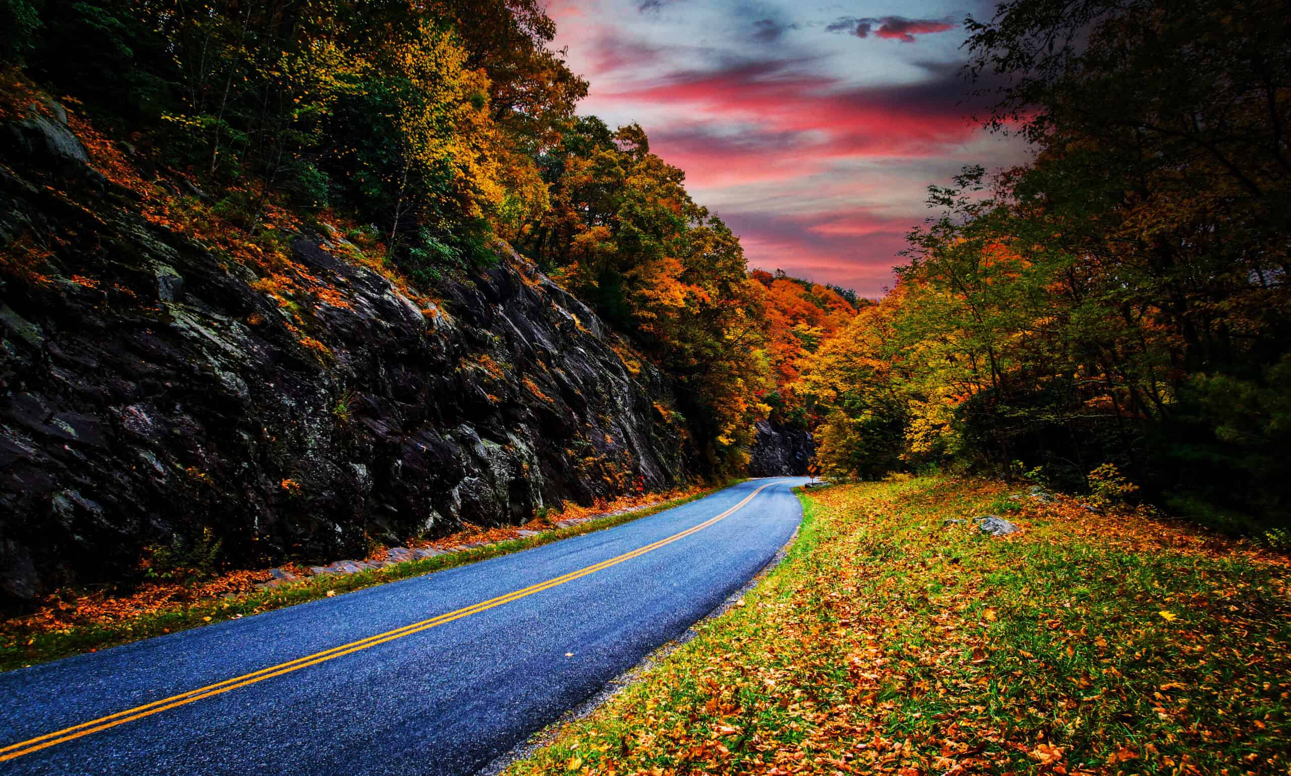
Seward Highway, Alaska (AK-1)
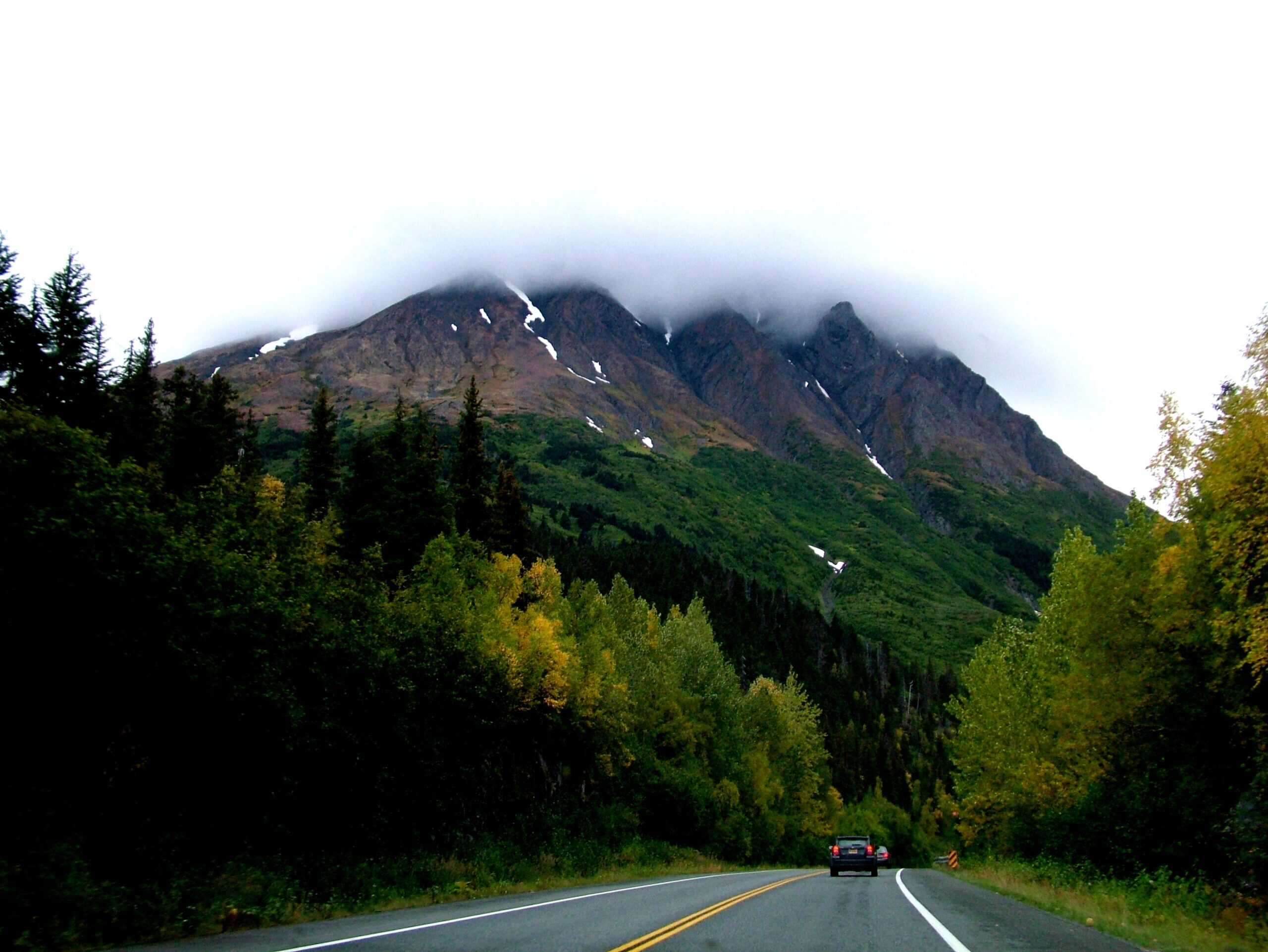
Alaska designates sections of the Seward Highway as a Safety Corridor, a label reserved for places with elevated serious-crash concerns, and that framing matches the way the road behaves in winter and shoulder seasons. DOT avalanche operations on the corridor can trigger intermittent delays, and official notices emphasize that closures can extend when debris reaches the roadway. A drive that begins as a normal Anchorage-to-Kenai run can quickly become a stop-and-wait exercise shaped by snow science, slope conditions, and timing.
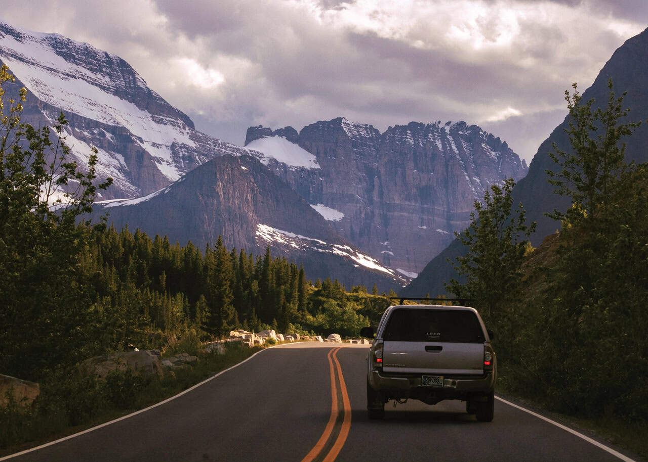
Going-to-the-Sun Road, Montana (Glacier National Park)
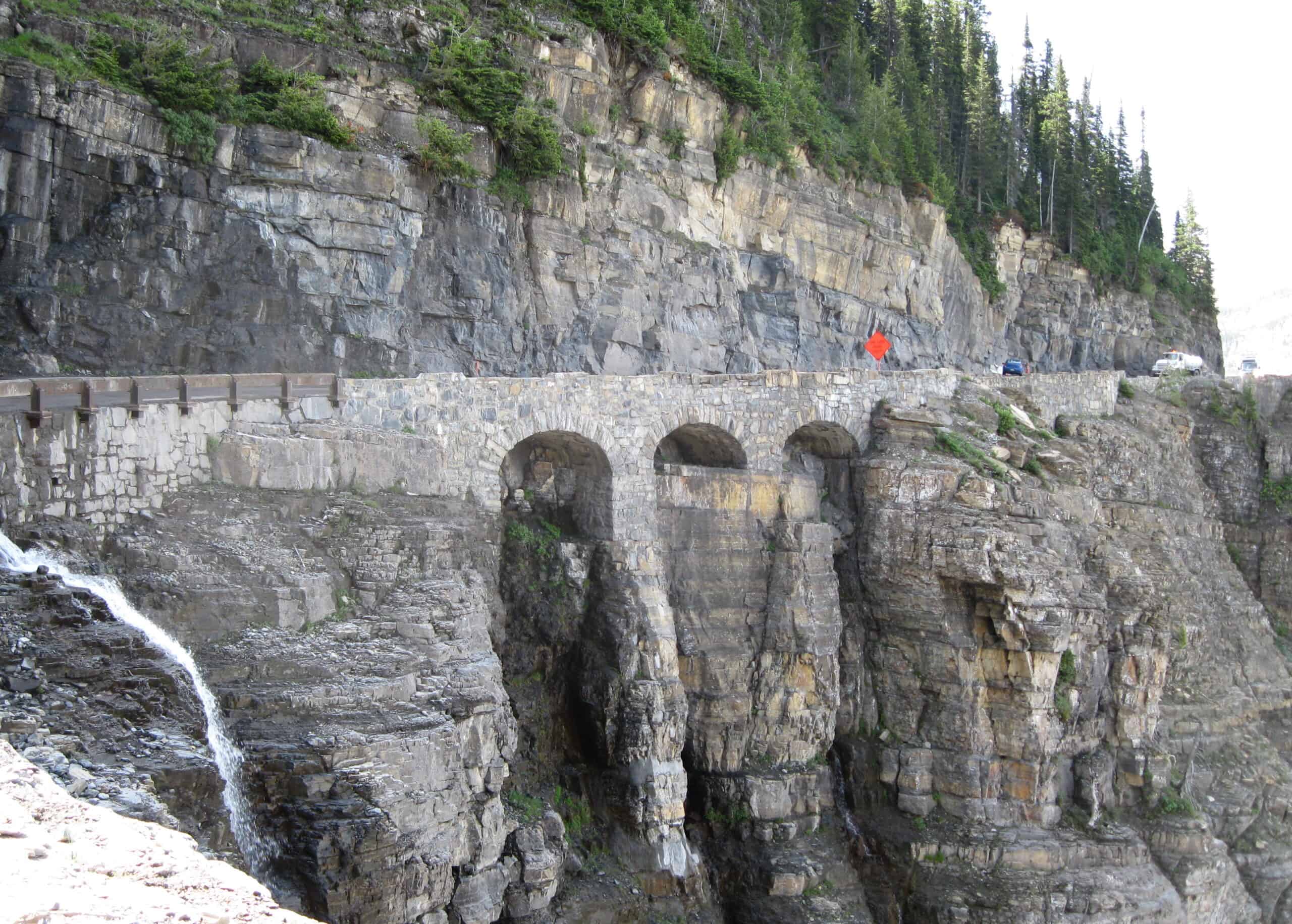
Going-to-the-Sun Road carries postcard reputation and serious operational limits in the same breath. NPS enforces strict vehicle-size restrictions on key segments, and the alpine sections face seasonal shutdowns because snowpack and exposure make year-round reliability unrealistic. Even in open months, narrow lanes, steep edges, and sudden weather shifts demand steady attention from first mile to last. It is one of those rare roads where the view feels cinematic, but the safest mindset is procedural, patient, and intensely focused.
Beartooth Highway, Montana-Wyoming (US-212)
Beartooth Highway sits at high elevation and is treated that way in park and state guidance, with a short primary operating window and regular reminders that weather can still force disruptions after seasonal opening. Yellowstone road status notes recurring weather-related interruptions outside the Northeast Entrance even after spring access begins. The result is a route with dramatic switchbacks and alpine exposure where reliability is always conditional, and where route planning depends as much on current status checks as on map distance.
Trail Ridge Road, Colorado (US-34)
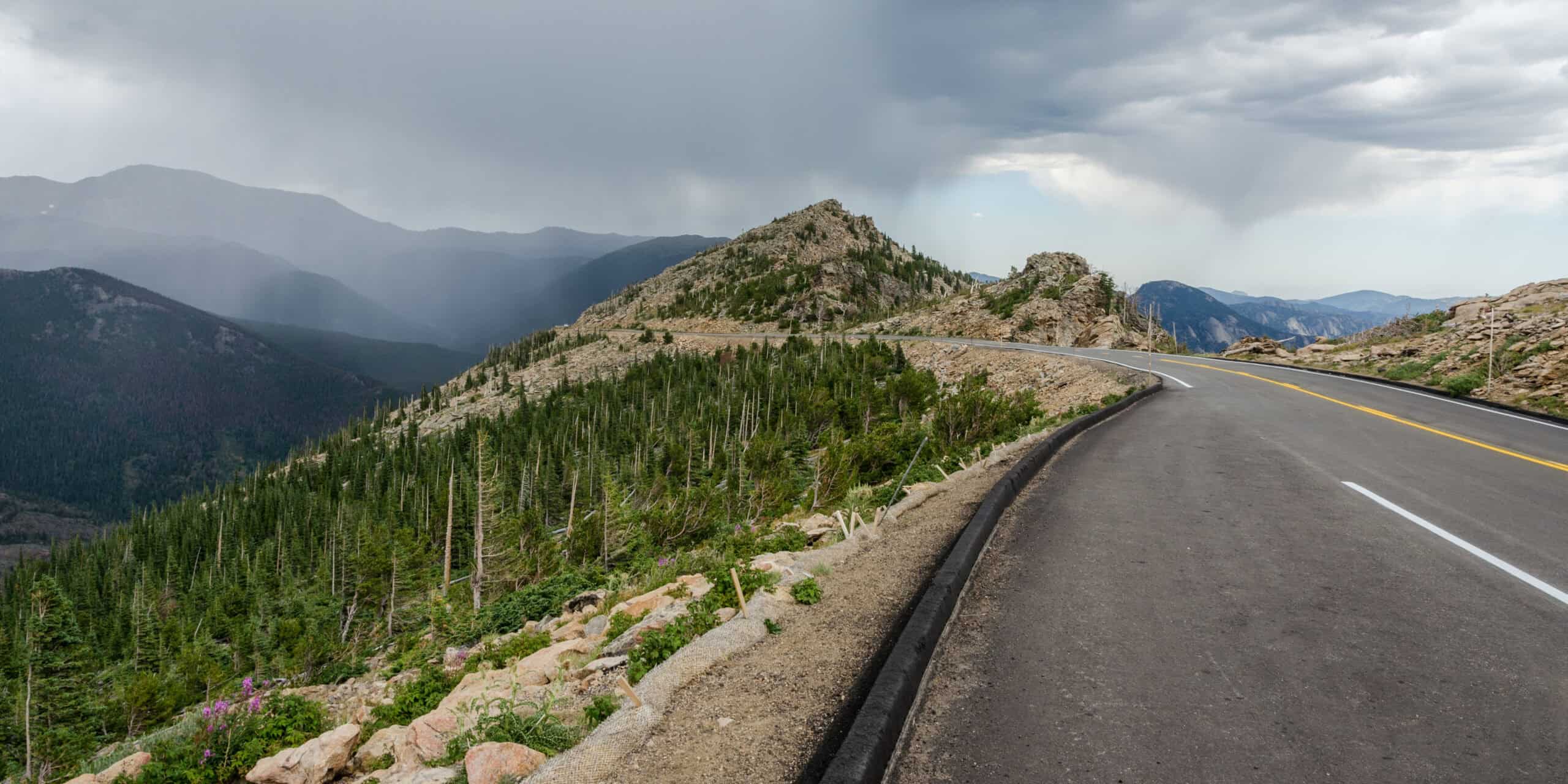
Rocky Mountain National Park describes Trail Ridge Road in blunt engineering terms: miles above 11,500 feet, few guardrails, and no shoulders in critical stretches. The park also states that winter conditions in the high country drive predictable seasonal closure patterns, with reopening tied to weather, snow drift behavior, and safe operations rather than calendar optimism. That mix of altitude, exposure, and limited roadside forgiveness makes it one of the clearest examples of a road that looks serene in photos but performs like serious mountain infrastructure.
Mount Blue Sky Scenic Byway, Colorado (CO-5)
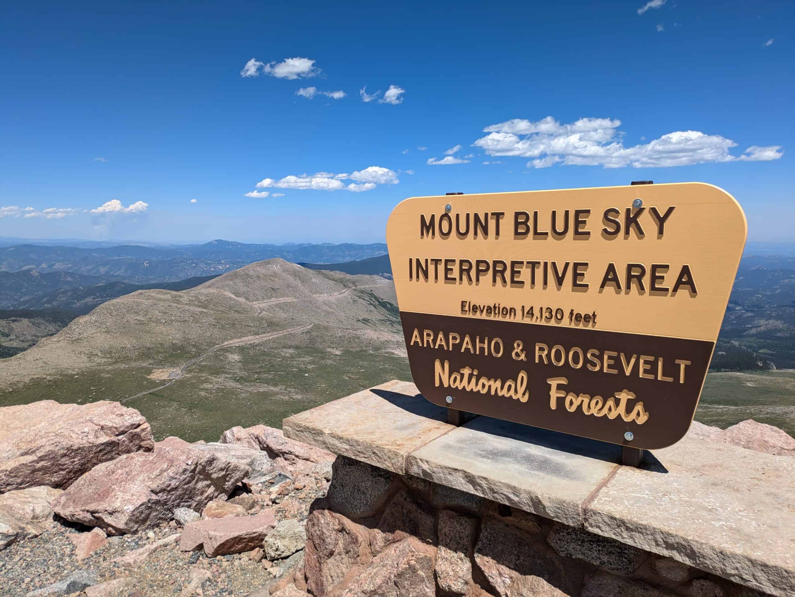
Colorado’s official winter-closure guidance flags Mount Blue Sky as a road with recurring seasonal shutdowns, and recent updates add construction-linked restrictions on upper sections through the reopening timeline. In practical terms, it is a route where access can narrow by segment, by month, and by project phase, even before weather adds another layer of uncertainty. High elevation, thin shoulders, and rapidly changing mountain conditions keep this byway in the category of roads that punish assumptions and reward disciplined pre-drive checks.
I-70 Through Colorado’s High Country
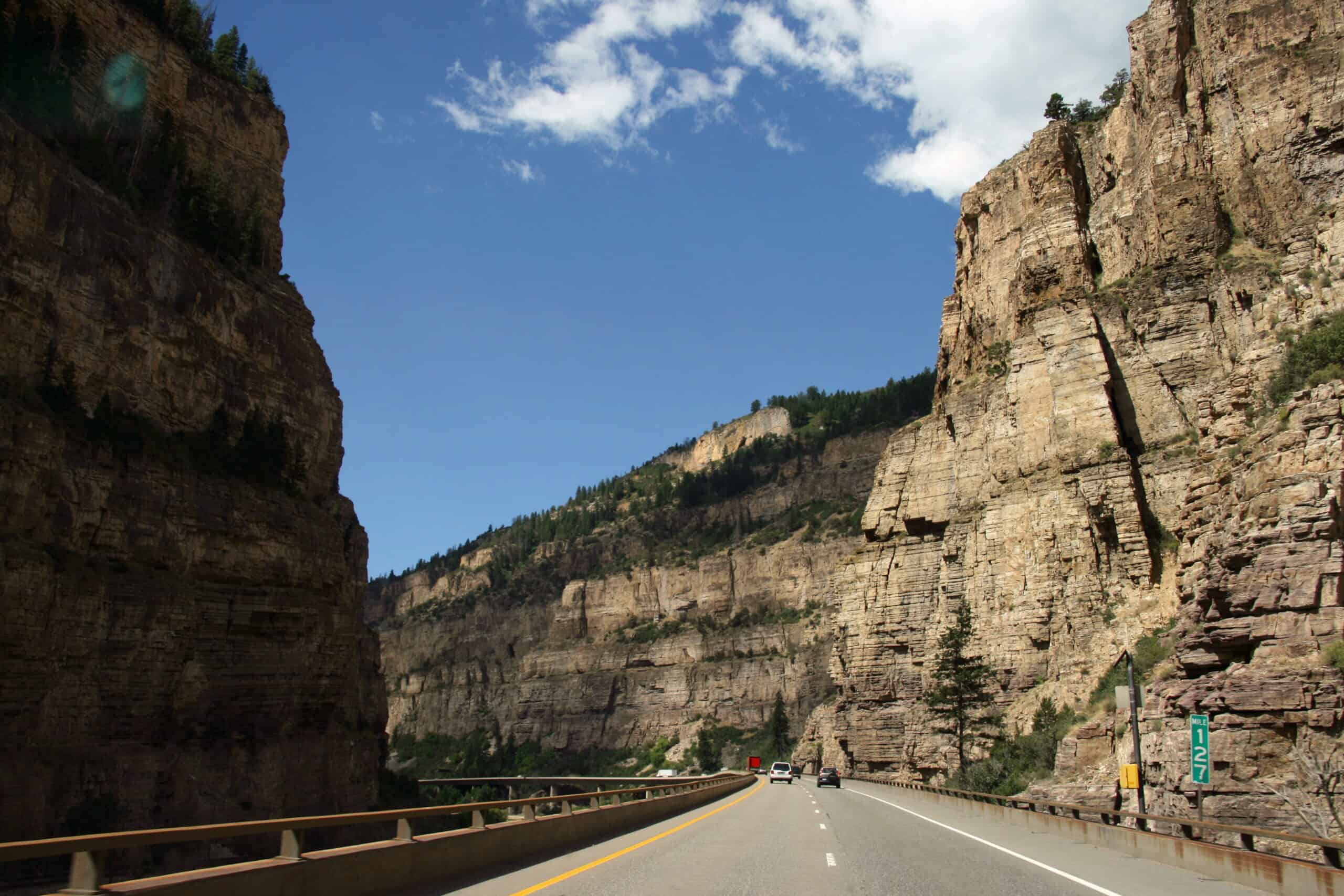
I-70 in the Rockies may be an interstate, but Colorado’s traction and chain laws make clear that severe weather can escalate requirements quickly, and the state frames chain rules as the final measure before full closure in extreme conditions. That policy reality tells the story: storm intensity can outpace normal freeway expectations. On this corridor, grade, elevation, freight volume, and fast-changing pavement conditions can push navigation systems to favor longer but steadier alternatives when the mountains tighten their grip.
Tioga Road, California (CA-120 Through Yosemite)
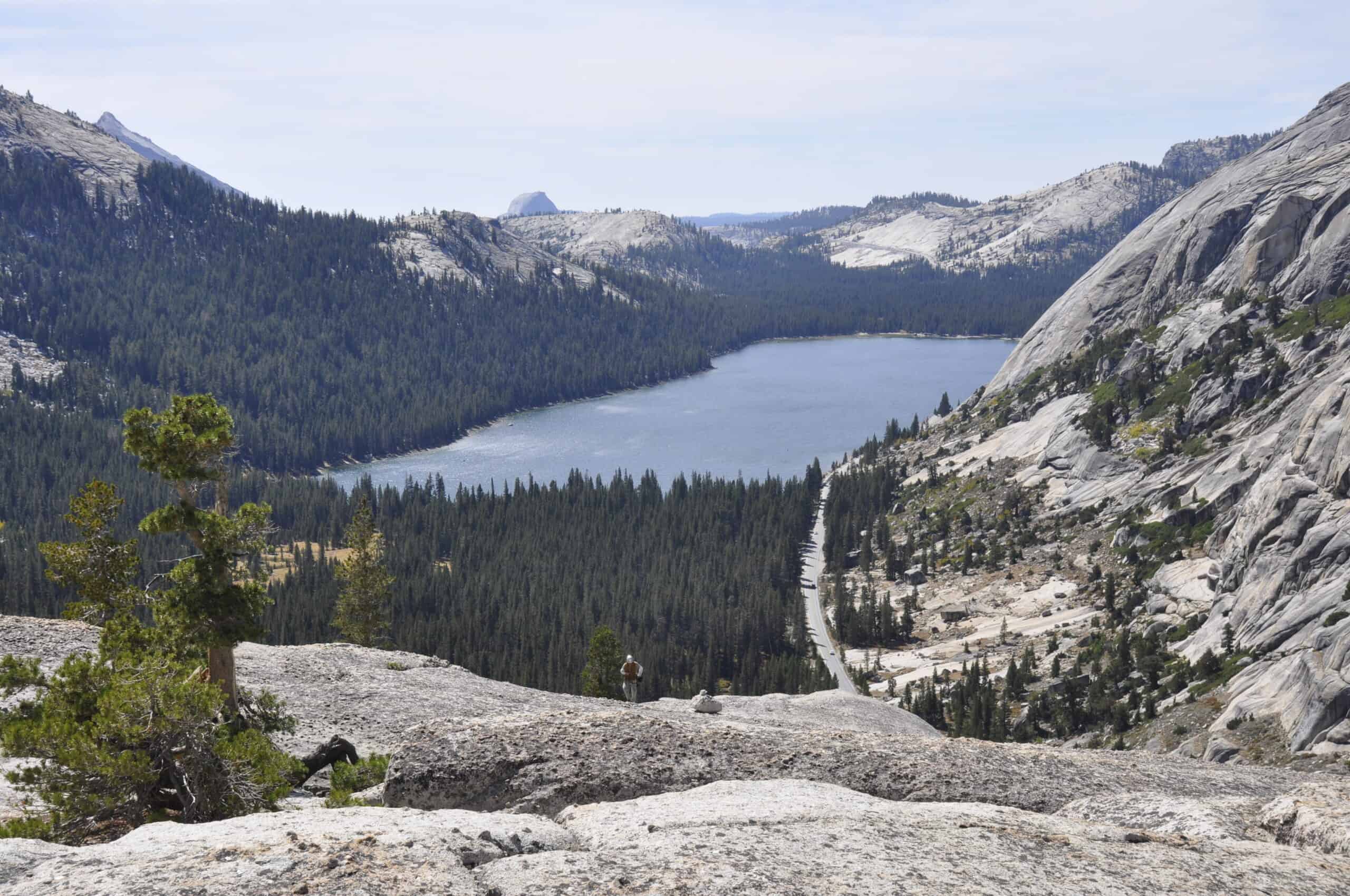
NPS guidance for Tioga Road is explicit that opening dates are hard to predict, with plowing typically starting around April 15 and spring weather still capable of delaying access. The same guidance notes long seasonal closures and provides alternate-routing information when the pass is shut, which is exactly where rerouting apps start reshaping itineraries. In a heavy snow year, the road’s beauty does not vanish, but it shifts into a logistical equation where timing, elevation, and maintenance progress decide everything.
Donner Pass, California (I-80)
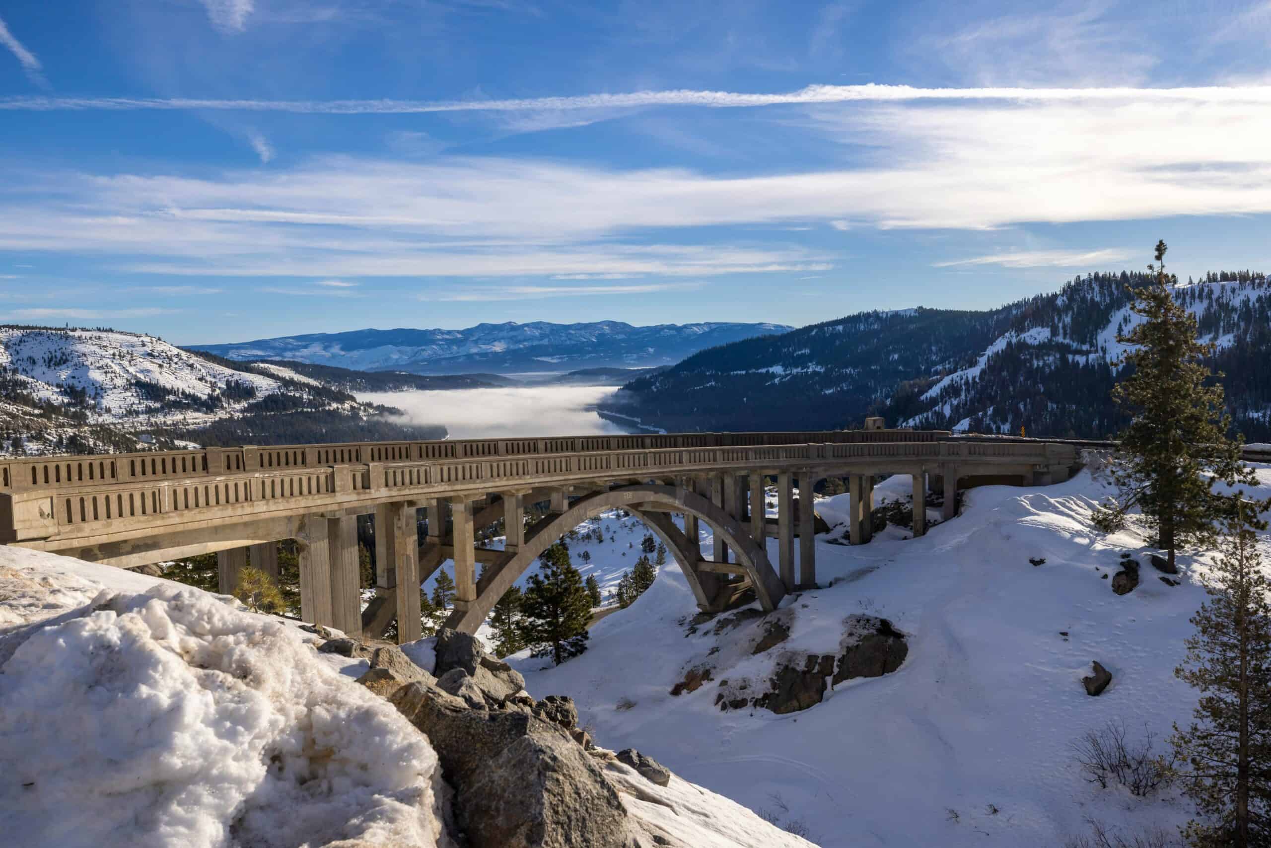
Caltrans chain-control rules over Donner Pass are structured in escalating levels, from partial chain requirements to all-vehicle mandates under the toughest conditions. Heavy trucks often face stricter setup expectations, and the posted control level can change quickly as storms intensify. That combination makes Donner a corridor where legal compliance, vehicle readiness, and weather timing all matter at once. It is still one of California’s most important east-west links, but in winter it behaves less like a standard interstate and more like a managed mountain pass.
Highway 1 Through Big Sur, California
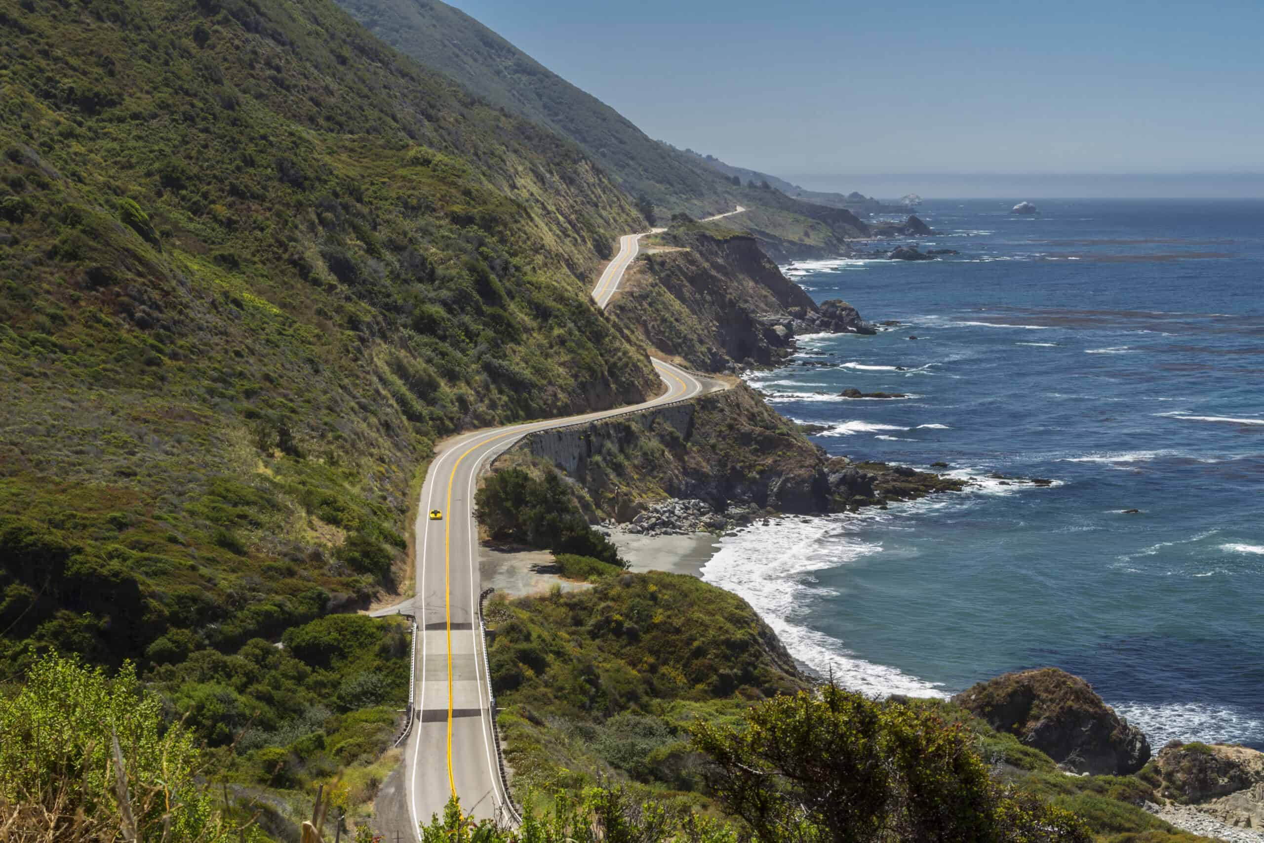
Big Sur’s Highway 1 has become a case study in coastal fragility, with Caltrans documenting major slide events, long repair windows, and segment closures that can sever continuity for months. The Regent’s Slide emergency work alone involved a substantial closed stretch and sustained stabilization activity before full reconnection. Even after reopenings, the corridor remains sensitive to geology and storm cycles, which means a road that looks effortless in travel reels can behave like a living construction zone shaped by cliffs, water, and gravity.
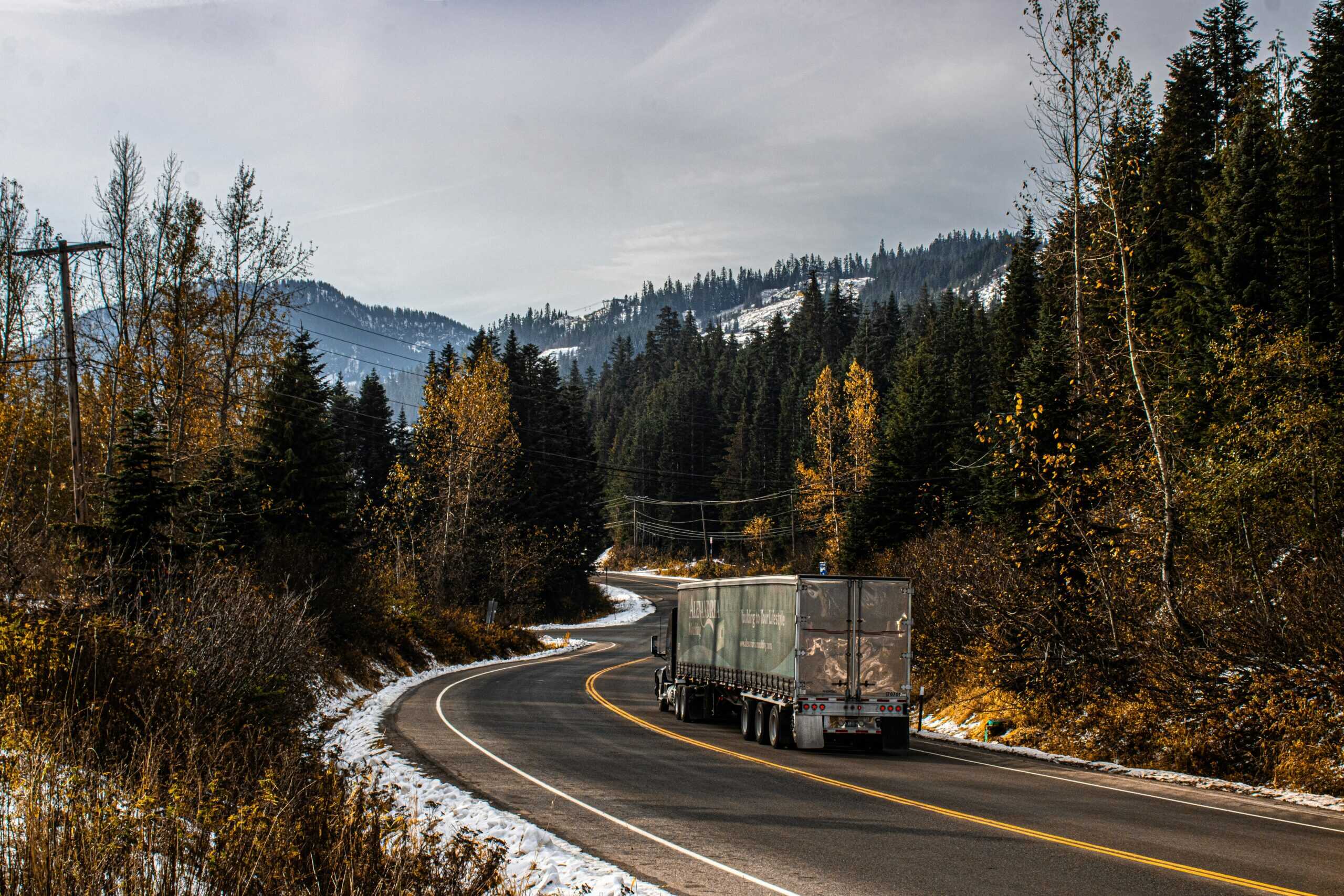
North Cascades Highway, Washington (SR 20)
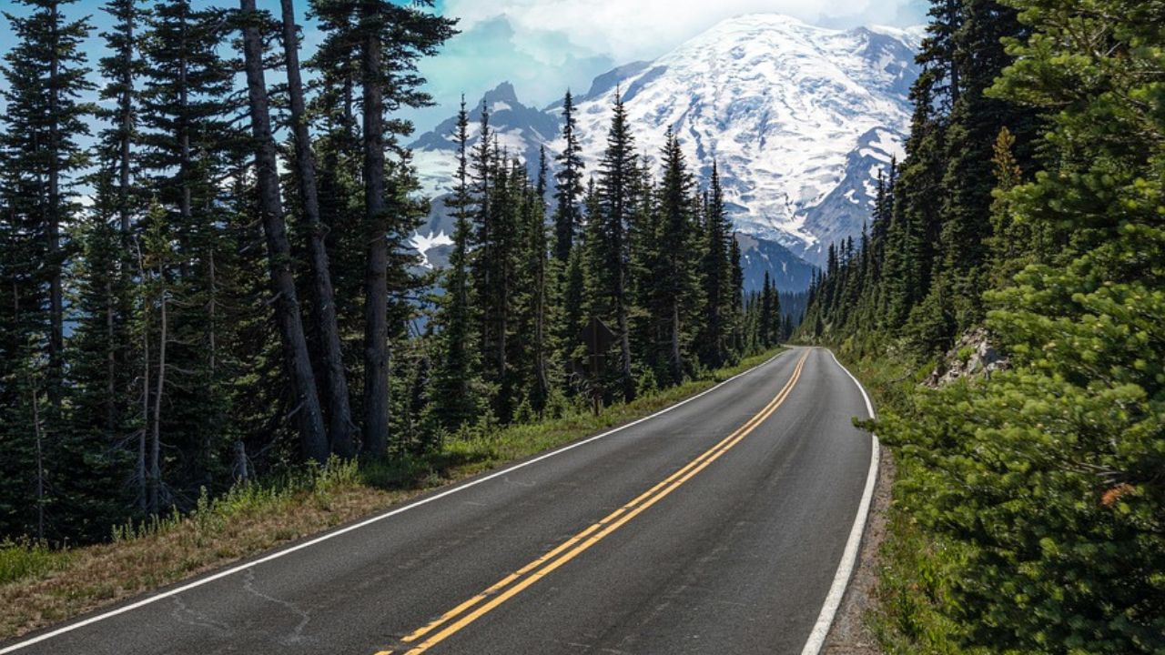
WSDOT’s updates describe a recurring winter shutdown on SR 20, with closure points and mileposts clearly defined once conditions cross the safety threshold. The annual pattern is predictable, but storm damage and repair needs can still add complexity beyond the normal seasonal gate schedule. That makes SR 20 one of those roads where route certainty is always temporary, and where drivers planning cross-state mountain travel often discover that the safest path is not the shortest line on a map but the one that remains operational.
Snoqualmie Pass, Washington (I-90)
Snoqualmie Pass is a major interstate route, yet Washington’s chain guidance emphasizes that conditions can require equipment even for vehicles that feel winter-capable on ordinary days. During stronger events, restrictions tighten further and compliance becomes non-negotiable. The road is crucial, busy, and professionally managed, but it is still a mountain pass first. That is why rerouting behavior appears so often around active weather windows: digital navigation sees what drivers eventually feel in real time, which is that friction arrives fast.
Zion-Mount Carmel Highway, Utah
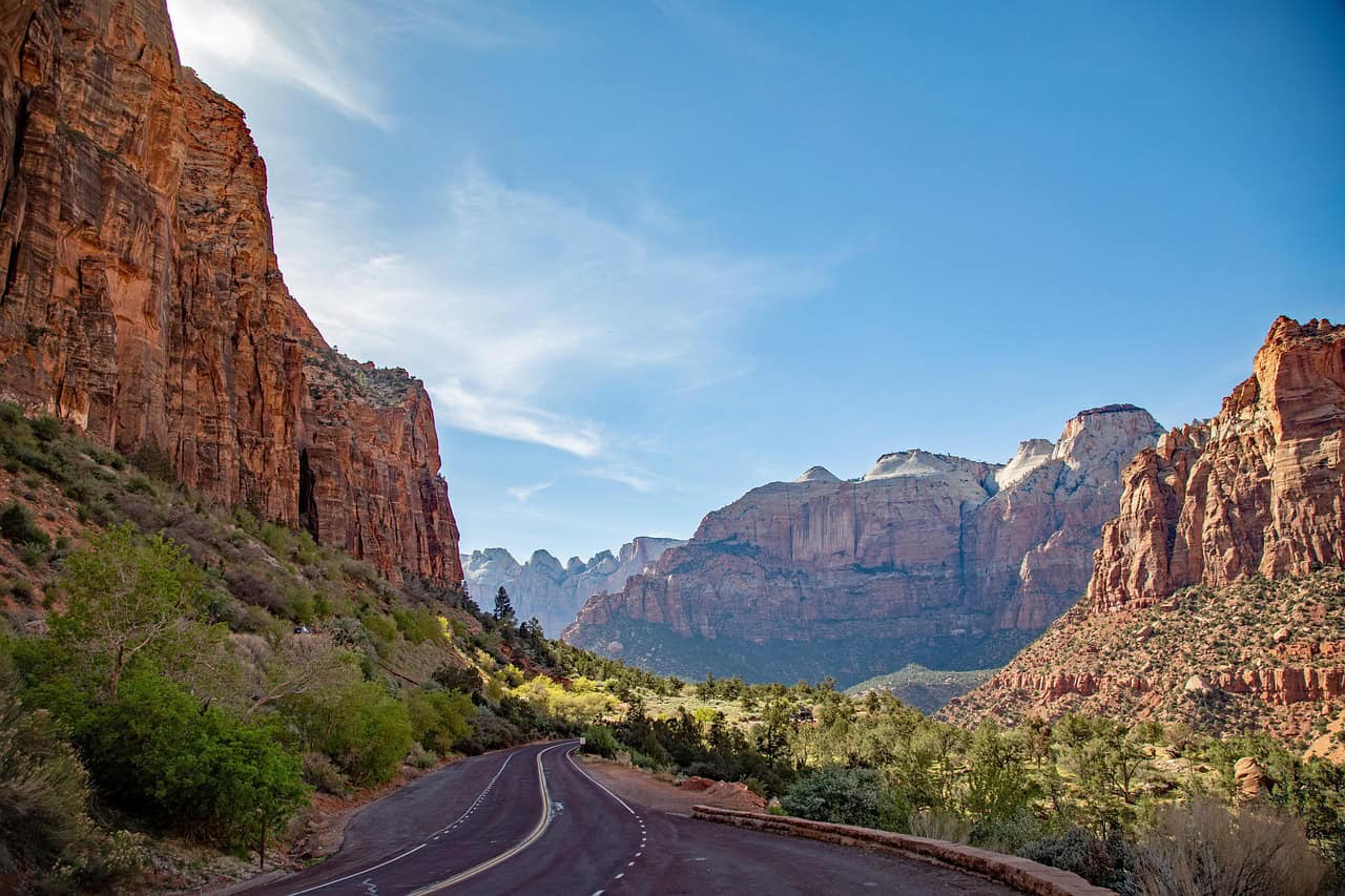
At Zion, the historic tunnel and approach road come with exact dimensional thresholds that trigger one-way traffic control, and the National Park Service publishes those limits with little ambiguity. Oversize vehicles face strict handling rules, and certain heights cannot pass at all. The road itself is scenic and iconic, but the operational design is tight enough that traffic flow can bottleneck quickly when demand peaks. It is not dangerous because it is neglected; it is demanding because it threads complex terrain with constrained geometry.
Newfound Gap Road, Tennessee-North Carolina (US 441)

US 441 through Great Smoky Mountains National Park is a vital connector, and recent NPS communications show how vulnerable it can be when washouts or major repairs interrupt movement. In Sept. 2025, the park detailed a full reopening after extensive work following an Aug. 1 washout, underscoring how quickly access can shift from routine to restricted. When a road is both scenic and regionally essential, every closure carries more than travel inconvenience; it reshapes local flow, park entry patterns, and day-to-day regional rhythm.
Blue Ridge Parkway, Virginia-North Carolina
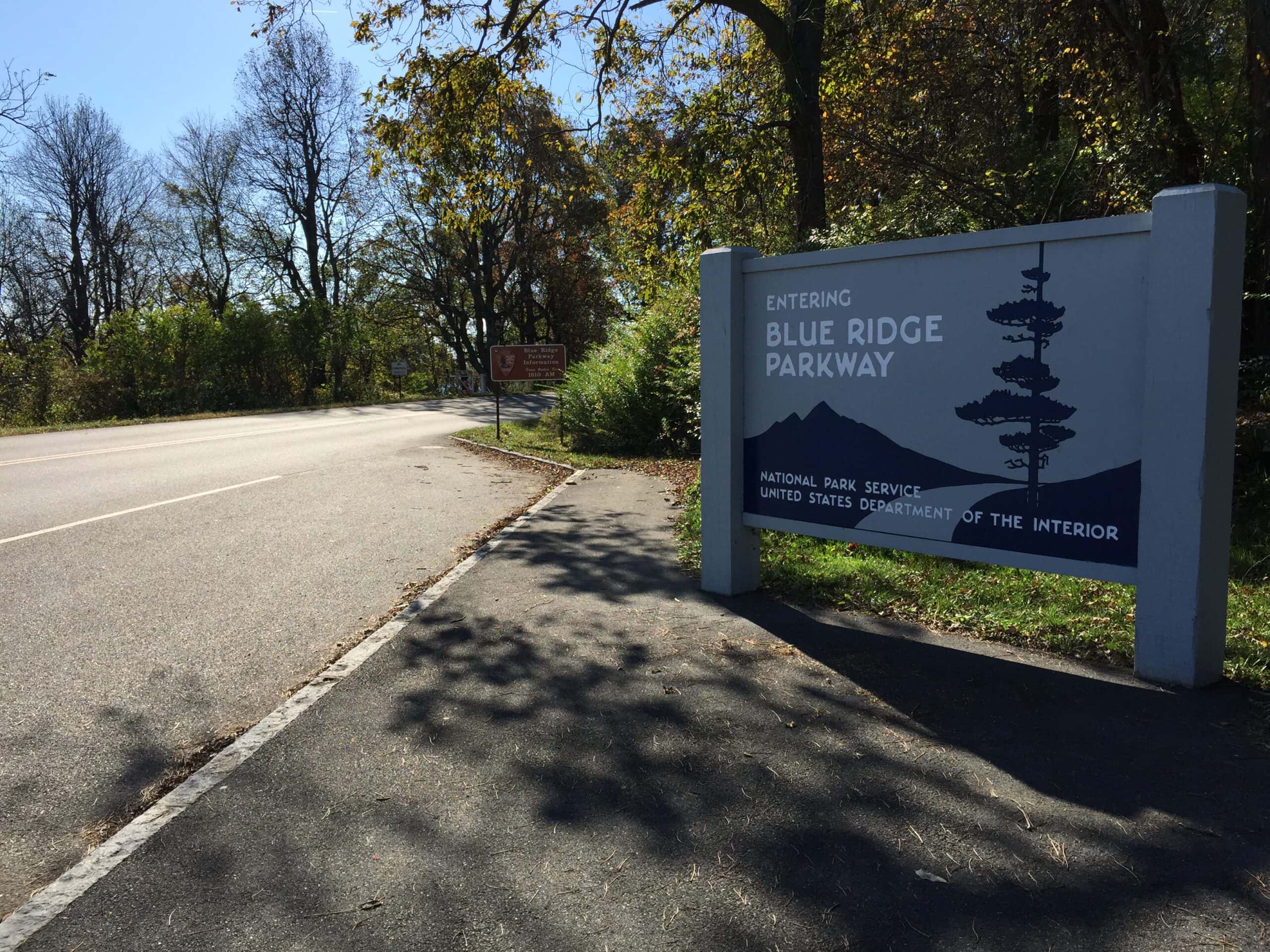
Blue Ridge Parkway status pages routinely show a patchwork of open and closed segments tied to winter weather, storm impacts, and recovery work at specific mileposts. That operating reality turns one continuous scenic idea into a dynamic corridor where conditions can vary dramatically within a single day’s drive. The parkway remains beloved for a reason, but the same elevation changes and long ridge exposures that create its beauty also increase vulnerability when ice, wind, debris, or legacy storm damage enters the equation.
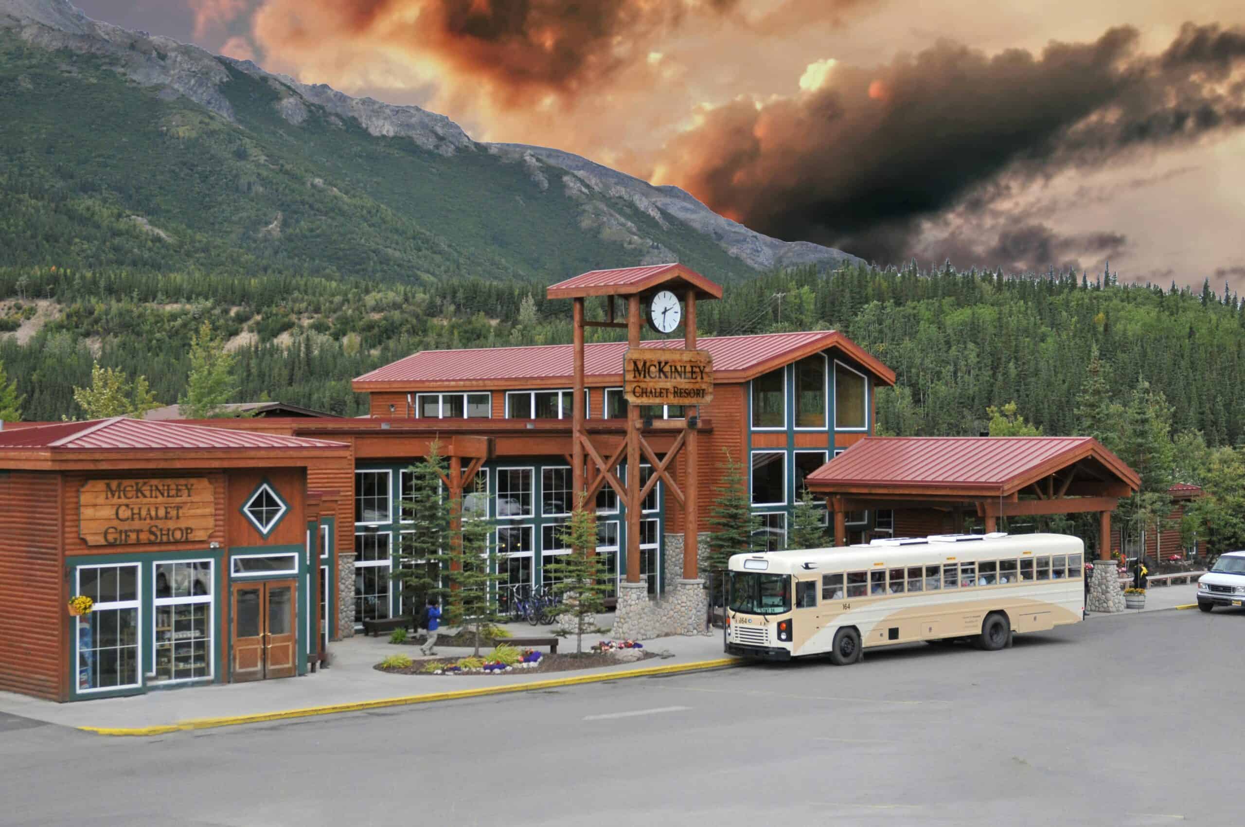
Denali Park Road, Alaska
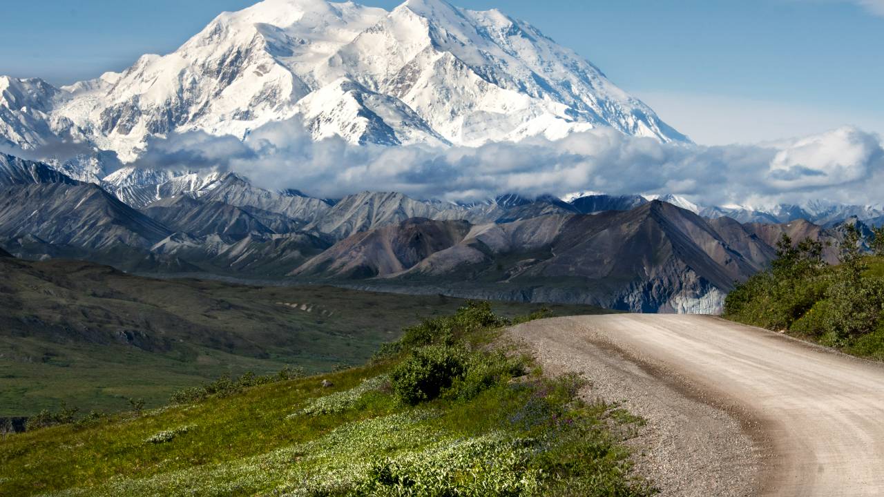
Denali Park Road illustrates how quickly a single geologic weak point can change access across an entire corridor. NPS updates around the Pretty Rocks landslide period described sustained restrictions and major operational work to preserve safe movement through the park system. On paper, it is one road through extraordinary wilderness; in practice, it is a reminder that frozen ground, thaw cycles, and slope instability can overrule timetables, expectations, and even long-standing seasonal patterns with very little warning.
Dunraven Pass Road, Wyoming (Yellowstone)
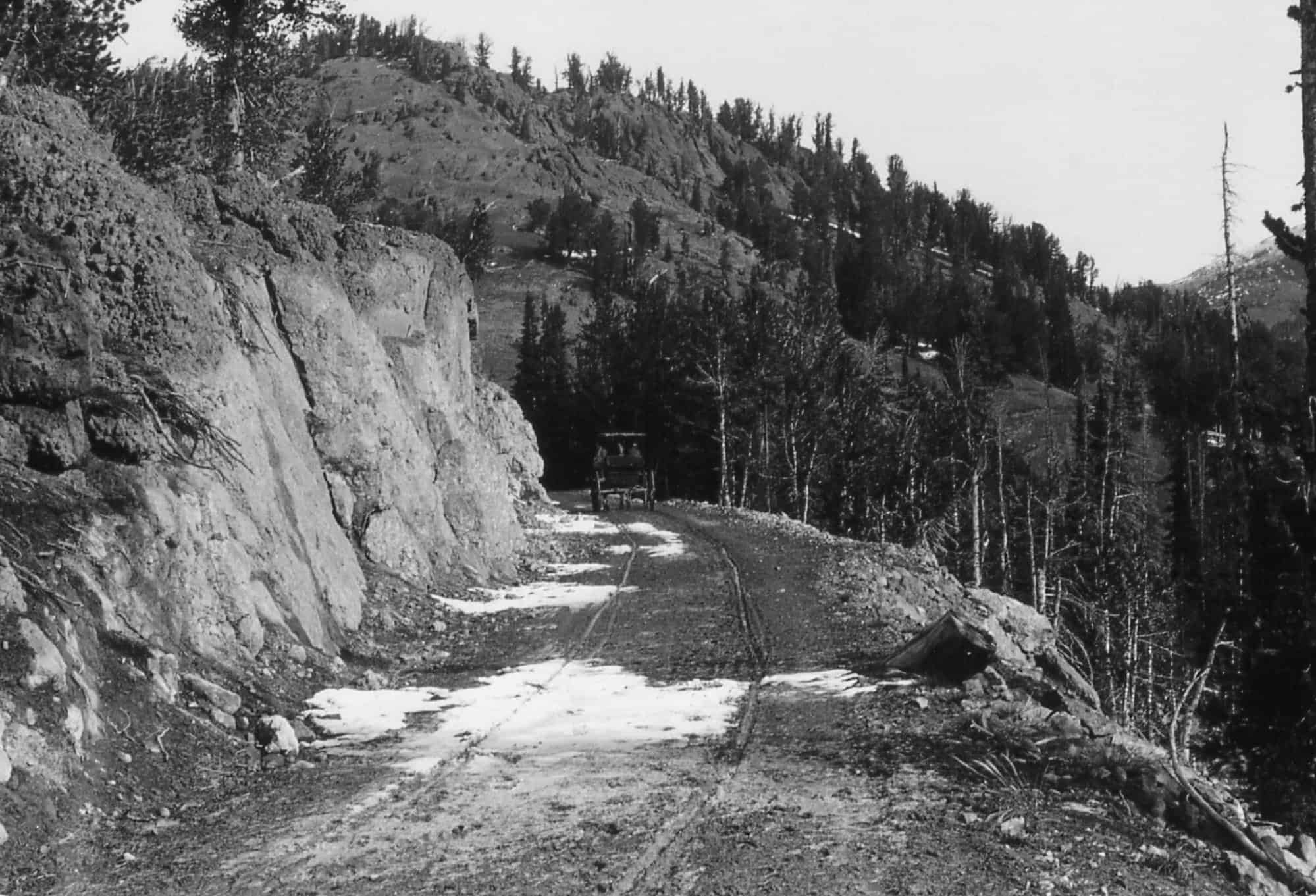
Yellowstone’s official road-status guidance identifies Dunraven Pass as a high-elevation segment that generally sees more winter weather than other park roads, with opening and closing windows tied to seasonal operations. In plain terms, it is a road where mountain climate has final say, even during peak travel months. Because conditions can pivot quickly, this route often behaves like a conditional opportunity rather than a guaranteed connector, and navigation tools respond accordingly whenever weather or operations tighten access.