We may earn money or products from the companies mentioned in this post. This means if you click on the link and purchase the item, I will receive a small commission at no extra cost to you ... you're just helping re-supply our family's travel fund.
America’s most visited destinations are often sold as carefree and predictable, yet many hide danger zones shaped by climate, terrain, crime patterns, and infrastructure gaps. These risks are rarely mentioned in brochures, but emergency records show thousands of tourists require assistance every year after unknowingly entering hazardous areas. From extreme heat and wildlife encounters to flash floods and poorly monitored urban pockets, these locations prove that popularity does not equal safety. Awareness, not fear, is the key to avoiding preventable accidents while traveling.
1. Badwater Basin, Death Valley National Park, California
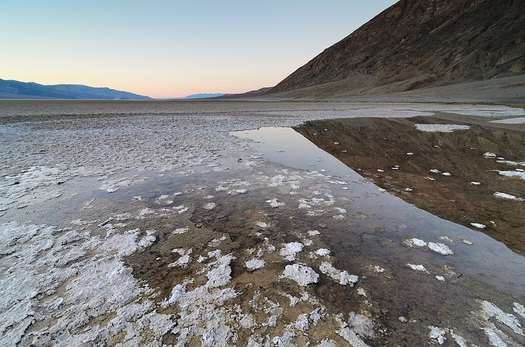
Badwater Basin lies 282 feet below sea level and records average summer air temperatures of 118°F, with ground temperatures surpassing 140°F. Death Valley sees over 1.1 million visitors annually, yet park reports show roughly 400 heat-related rescues each year. Dehydration symptoms can begin in under 30 minutes, especially when humidity drops below 10%. Nearly 90% of the basin lacks cell service, and vehicle breakdowns occur frequently due to engine overheating. Park guidelines recommend 3.8 liters of water per person daily, but many tourists carry less than half.
2. Side Streets Near Times Square After Midnight, New York City
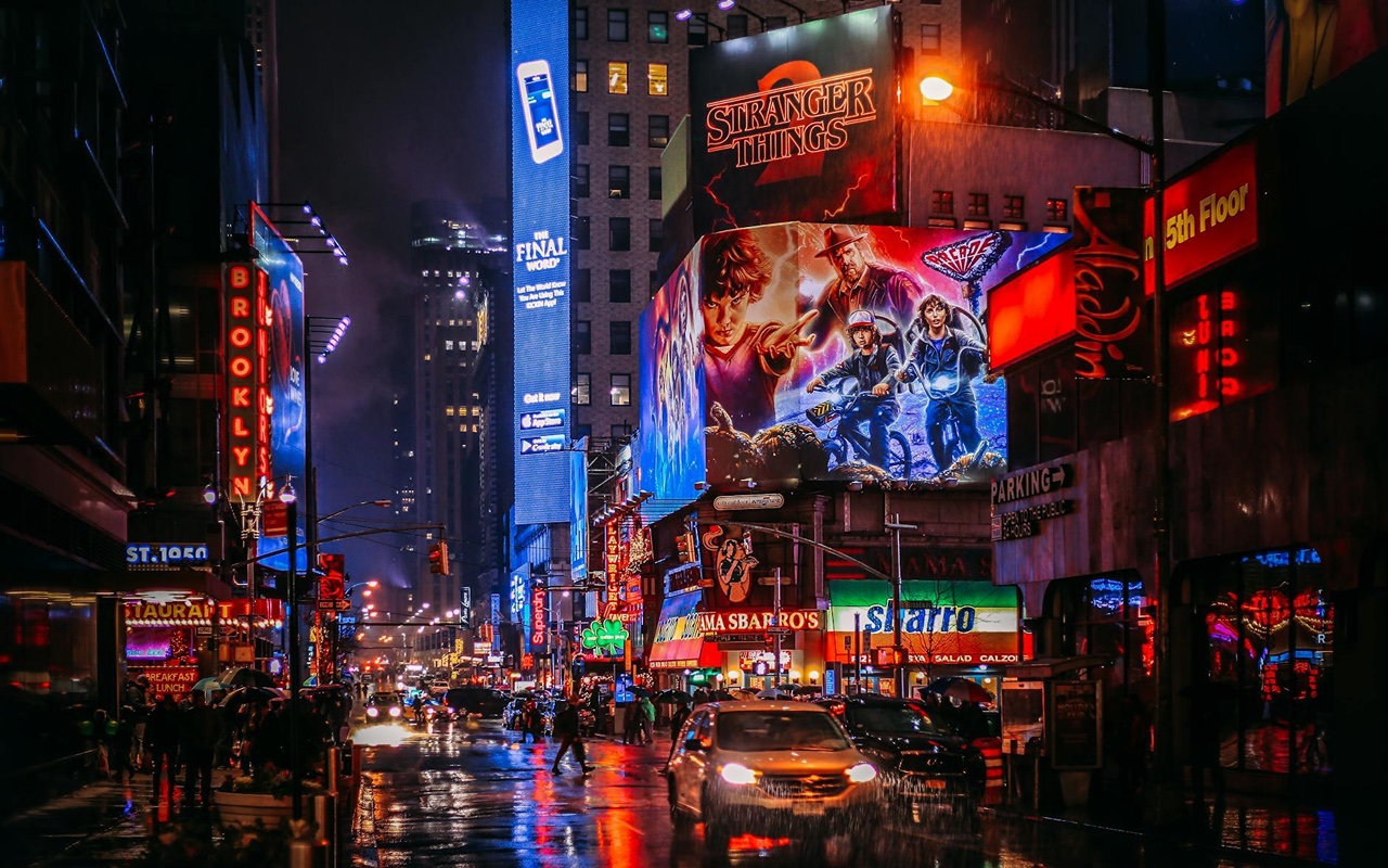
Times Square attracts more than 50 million visitors annually, but NYPD statistics show crime reports increase by approximately 28% on surrounding side streets between midnight and 4 a.m. Lighting coverage drops by nearly 40% outside main avenues, and police patrol density decreases after peak hours. Areas near Port Authority record higher theft complaints, with pickpocketing accounting for nearly 60% of tourist reports. Visitors often move just one block away from crowded zones, unaware that safety conditions change sharply within a 300-foot radius.
3. Unmarked Rip Current Zones, Miami Beach, Florida
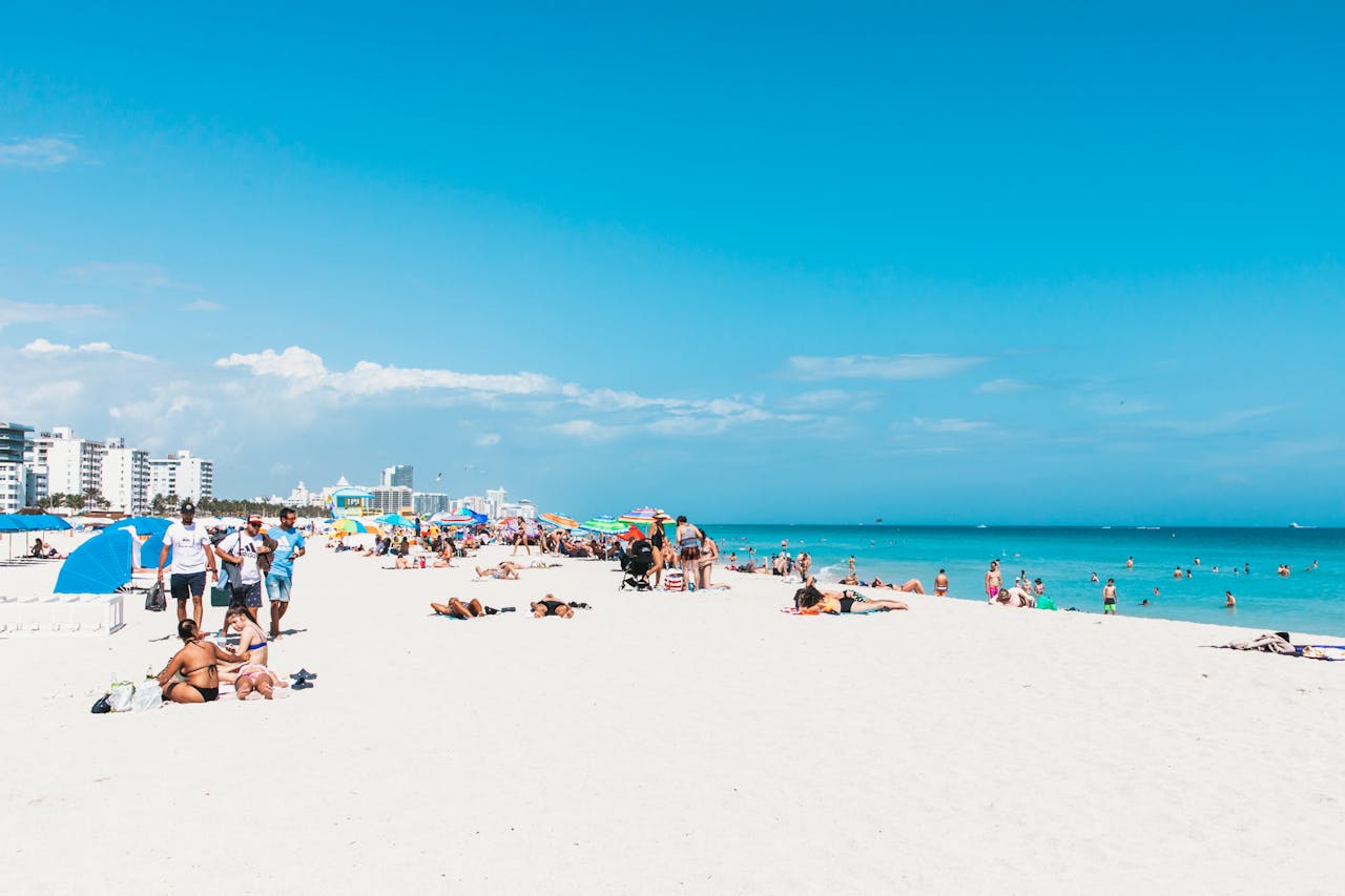
Miami Beach hosts roughly 80 million visitors yearly, yet Florida coastal data records over 100 rip-current rescues annually in this area alone. Rip currents can pull swimmers offshore at speeds of 4 to 6 mph, faster than most adults can swim. About 70% of drowning incidents occur during calm weather, when warning flags are absent. Lifeguard coverage drops outside peak hours, and some dangerous stretches extend over 500 meters without signage, leaving tourists unaware of the hidden threat beneath seemingly calm water.
4. Hollywood Sign Access Trails, Los Angeles, California
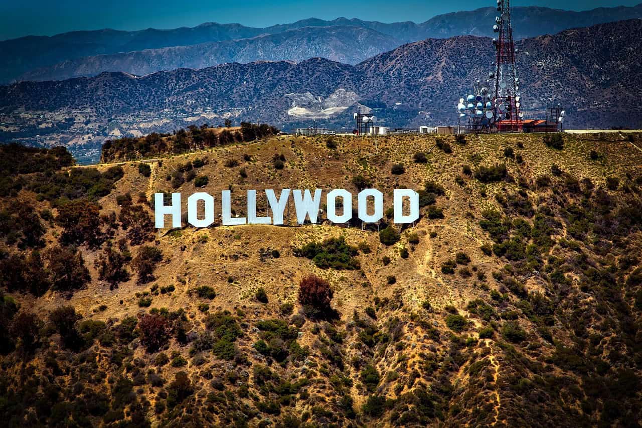
The Hollywood Sign area receives an estimated 520,000 hikers per year, with LAFD reporting dozens of rescues annually. Summer trail temperatures regularly exceed 100°F, while shade covers less than 15% of the route. Emergency response times average 40–50 minutes due to steep terrain. Many visitors carry under 0.5 liters of water, despite recommendations of at least 2 liters per person. Wildlife sightings, including rattlesnakes, increase during warmer months, adding risk to already dehydrating conditions.
5. Bourbon Street Side Alleys, New Orleans, Louisiana
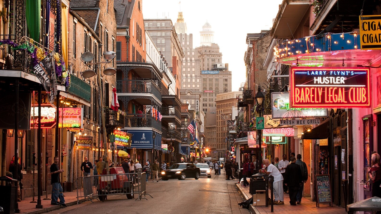
Bourbon Street draws approximately 17 million visitors each year, yet local police data shows a sharp rise in theft and assault reports within adjacent alleys after 10 p.m. Nearly 60% of reported tourist injuries in the area involve alcohol. Lighting coverage drops significantly in side passages, and patrol frequency decreases after midnight. Uneven pavement contributes to frequent falls, with emergency services responding to dozens of late-night injury calls monthly within a few hundred feet of the main strip.
6. Thermal Basin Boardwalk Edges, Yellowstone National Park
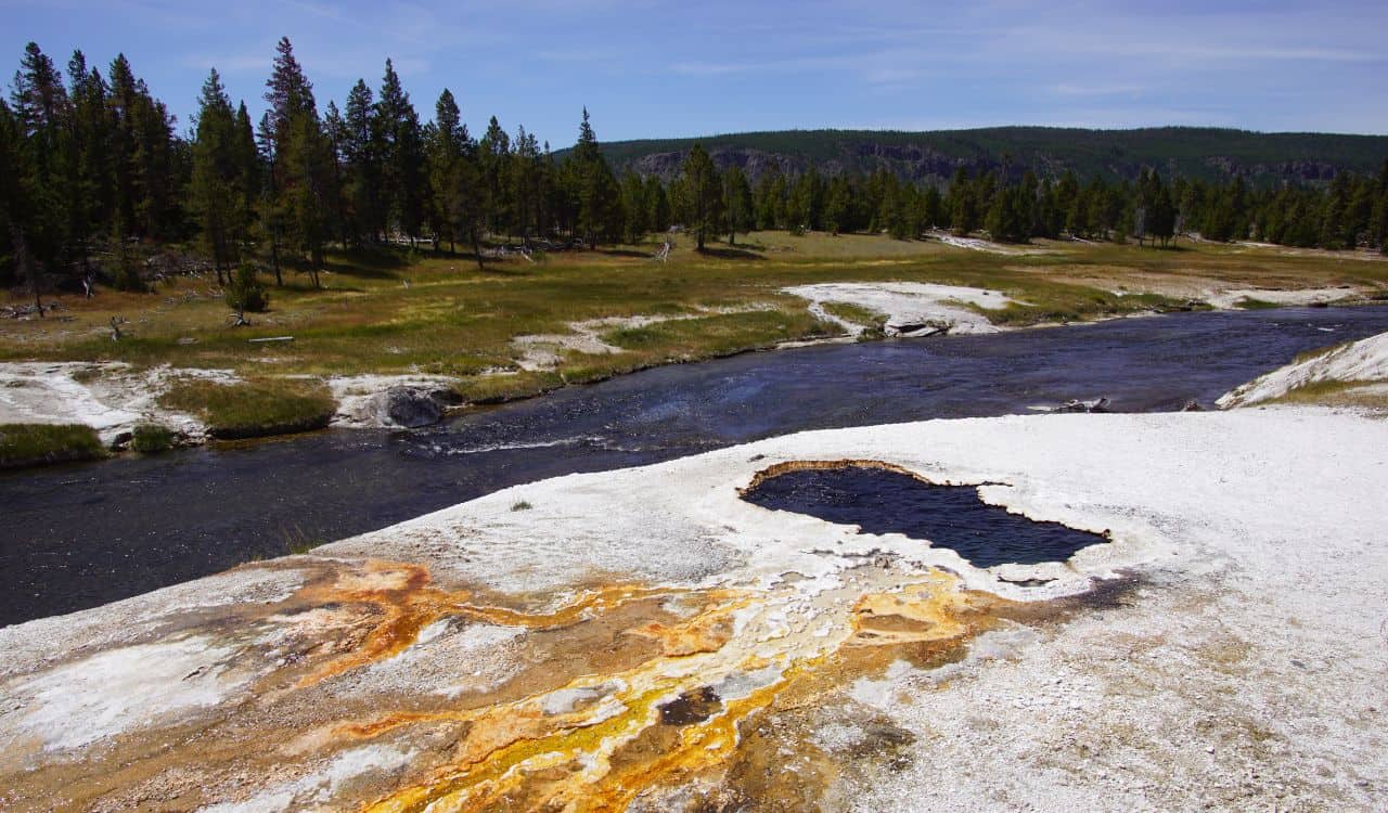
Yellowstone spans over 2.2 million acres and welcomes about 4 million visitors annually. Thermal pool temperatures exceed 190°F, capable of causing fatal burns in seconds. Despite clear signage, park records show thermal-related injuries occur almost every year. Over 90% of incidents involve visitors stepping off boardwalks, often for photography. Thin ground crusts can collapse without warning, and steam visibility varies, misleading tourists into assuming certain areas are safe when surface temperatures remain dangerously high.
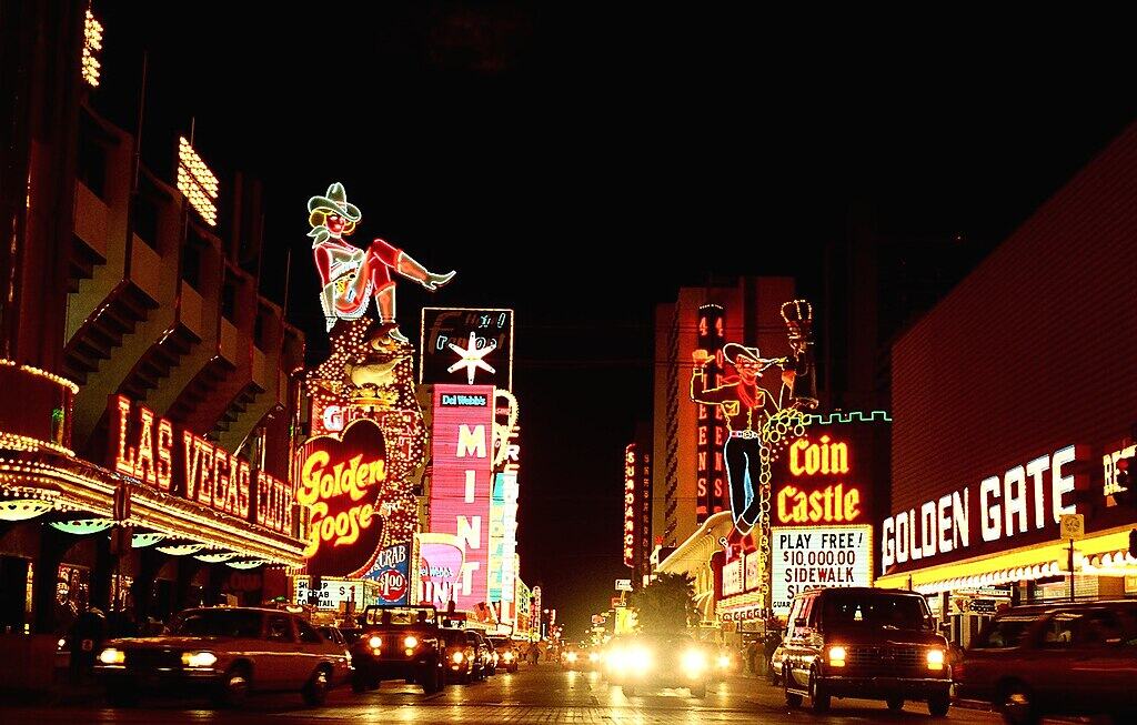
7. Blocks Surrounding Fremont Street, Las Vegas, Nevada

Fremont Street attracts nearly 20 million visitors annually, yet crime statistics show incidents rise noticeably just two blocks beyond the canopy. Police reports indicate higher rates of theft and assault within a 0.5-mile radius after 9 p.m. Lighting decreases sharply outside the entertainment zone, and security presence drops by more than 30%. Tourists unfamiliar with downtown layouts often wander unintentionally into high-risk areas, especially late at night when foot traffic thins and response times increase.
8. Zion Narrows During Monsoon Season, Utah
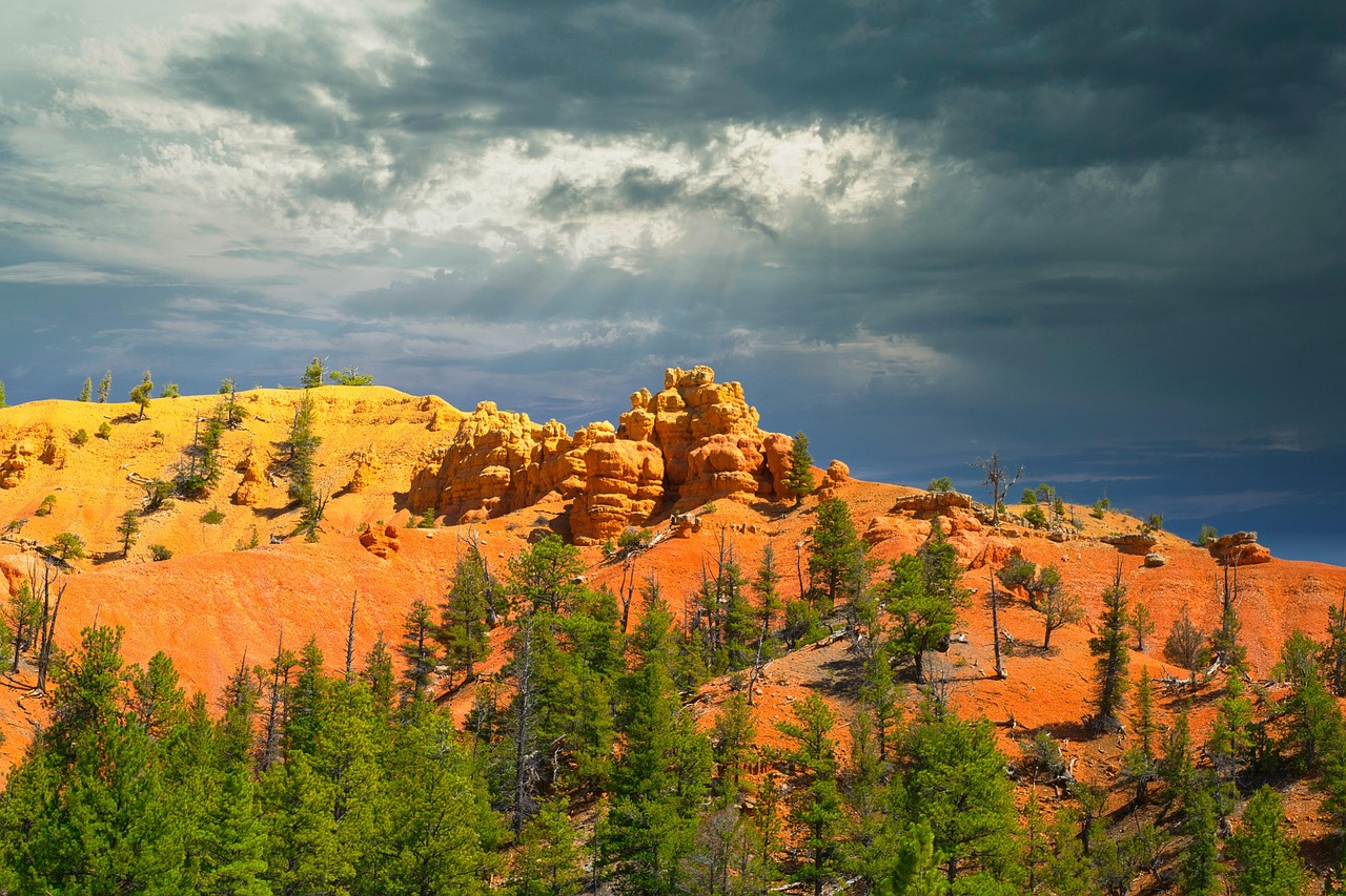
Zion National Park receives around 5 million visitors annually, with the Narrows ranking among its most popular hikes. During monsoon season, from July to September, flash floods can raise water levels by over 10 feet in minutes. National Park Service data confirms multiple rescues each year due to sudden flooding. Storms often occur miles upstream, providing no visual warning to hikers. Despite alerts, many incidents involve tourists entering the canyon when flood risk probabilities exceed 30%.
9. Chicago Riverwalk After Dark, Illinois
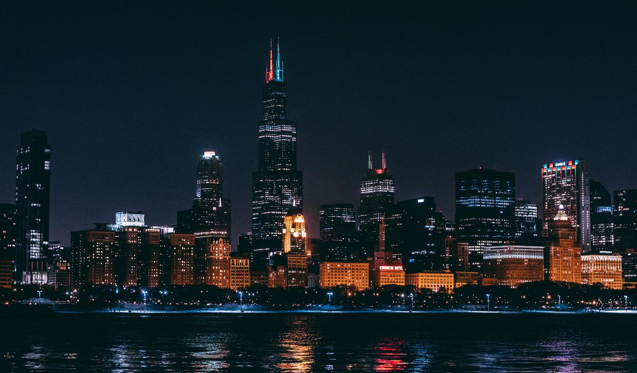
The Chicago Riverwalk stretches 1.25 miles and sees millions of visitors annually. City emergency data shows river-related accidents increase noticeably after sunset, particularly between 9 p.m. and midnight. Slippery surfaces, low railings, and alcohol consumption contribute to dozens of falls each year. Some sections have limited lighting, reducing visibility by over 50%. Emergency vehicle access is restricted along most of the Riverwalk, increasing response times compared to nearby street-level incidents.
10. Twin Peaks Scenic Overlooks, San Francisco, California
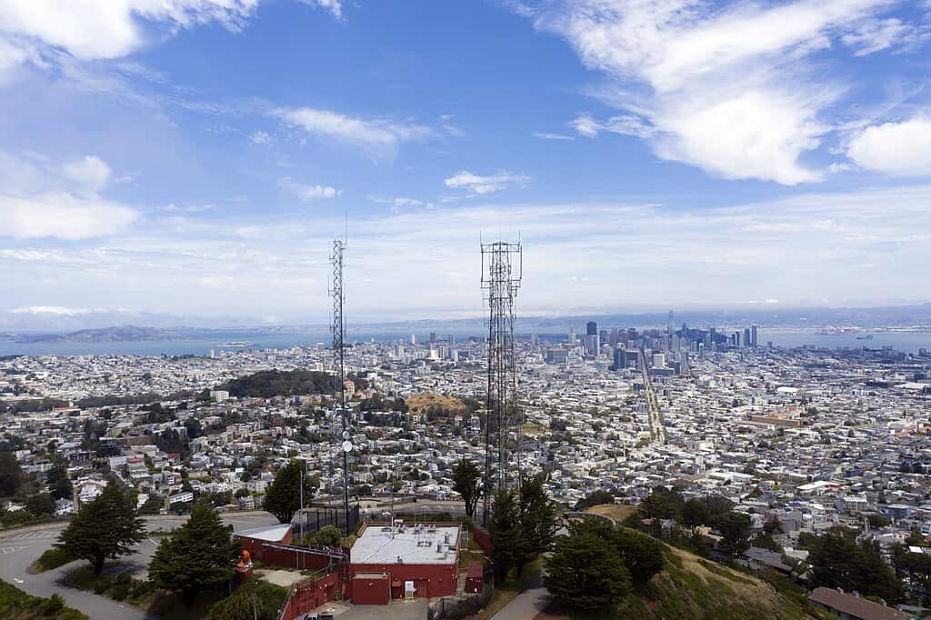
Twin Peaks rises nearly 1,000 feet above sea level and experiences dense fog on over 105 days per year. Wind gusts frequently exceed 30 mph, increasing fall risk near exposed edges. Police reports note periodic vehicle break-ins and isolated assaults, particularly after sunset. Cell reception weakens in certain spots, delaying emergency calls. Visitor traffic drops sharply in the evening, leaving tourists more isolated while weather conditions worsen rapidly within minutes.
11. Unprotected Rim Zones, Grand Canyon National Park, Arizona
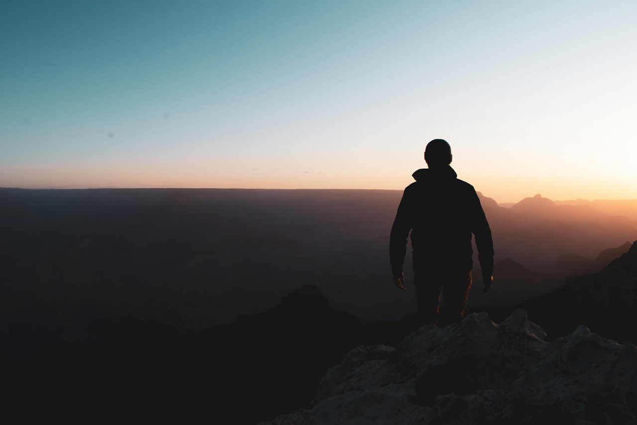
The Grand Canyon welcomes close to 5 million visitors annually but averages 12 to 15 fatalities per year. Park data shows more than 70% of fatal falls occur when visitors step beyond railings. Elevations reach over 7,000 feet, which can impair balance and judgment. Loose gravel and sudden wind gusts are common near rim edges. Many incidents happen during short photo stops, where distraction lasts only seconds but consequences are irreversible.
12. Swiftcurrent Lake Area, Glacier National Park, Montana
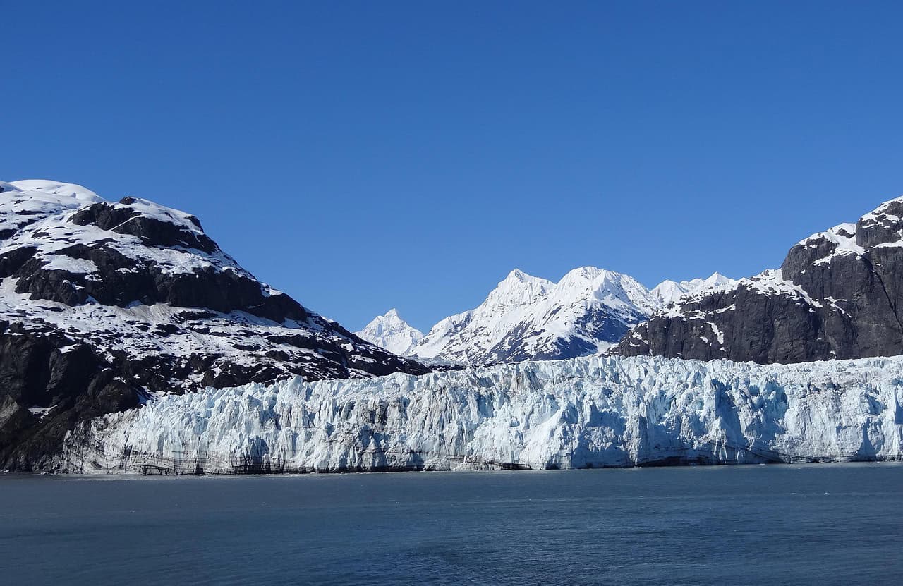
Glacier National Park sees over 3 million visitors annually, and the Swiftcurrent Lake area presents multiple risks. Water temperatures remain below 50°F even in midsummer, causing cold shock within seconds. Wildlife logs report frequent grizzly bear activity, with encounters peaking during July and August. Sudden weather changes bring storms with little notice. Rescue reports show hypothermia cases rise sharply when tourists underestimate how quickly conditions shift in this seemingly peaceful location.