We may earn money or products from the companies mentioned in this post. This means if you click on the link and purchase the item, I will receive a small commission at no extra cost to you ... you're just helping re-supply our family's travel fund.
Summer road trips still carry the old promise of open skies and long horizons, but some U.S. routes demand far more than scenic enthusiasm. In steep passes, remote corridors, and slide-prone coastal stretches, weather, grade, visibility, and isolation can turn a routine drive into a high-consequence decision. Federal safety data has long shown disproportionate fatal outcomes on rural roads, and modern navigation apps increasingly reroute around incidents and closures when risk spikes. Against that backdrop, these ten routes stand out as America’s most demanding road-trip drives.
Dalton Highway, Alaska
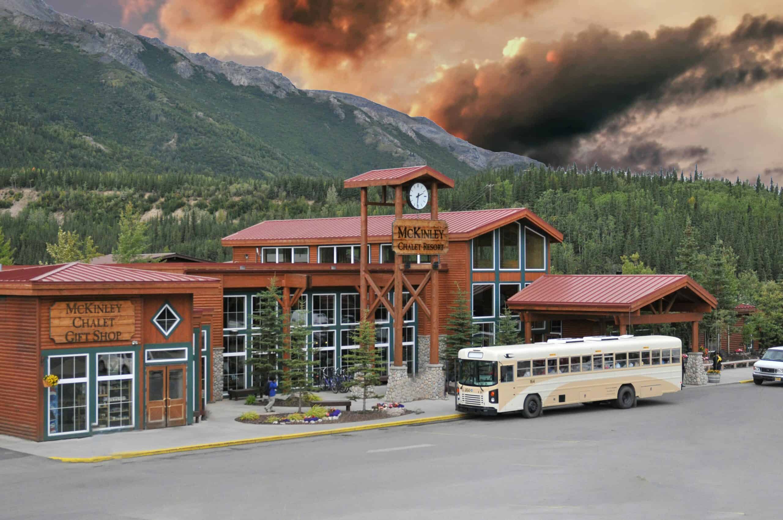
Alaska’s Dalton Highway is famous for beauty and unforgiving logistics in equal measure. The BLM guide flags long distances between services, heavy industrial truck traffic, and long unpaved stretches that can shred tires and test suspension parts, especially in bad weather; Atigun Pass adds high elevation and fast-changing conditions. A road like this punishes small mistakes, because recovery options are sparse once a vehicle is deep into the North Slope corridor, and a minor mechanical issue can become a full-day safety problem where delay itself raises exposure and drains fuel buffers faster than expected.
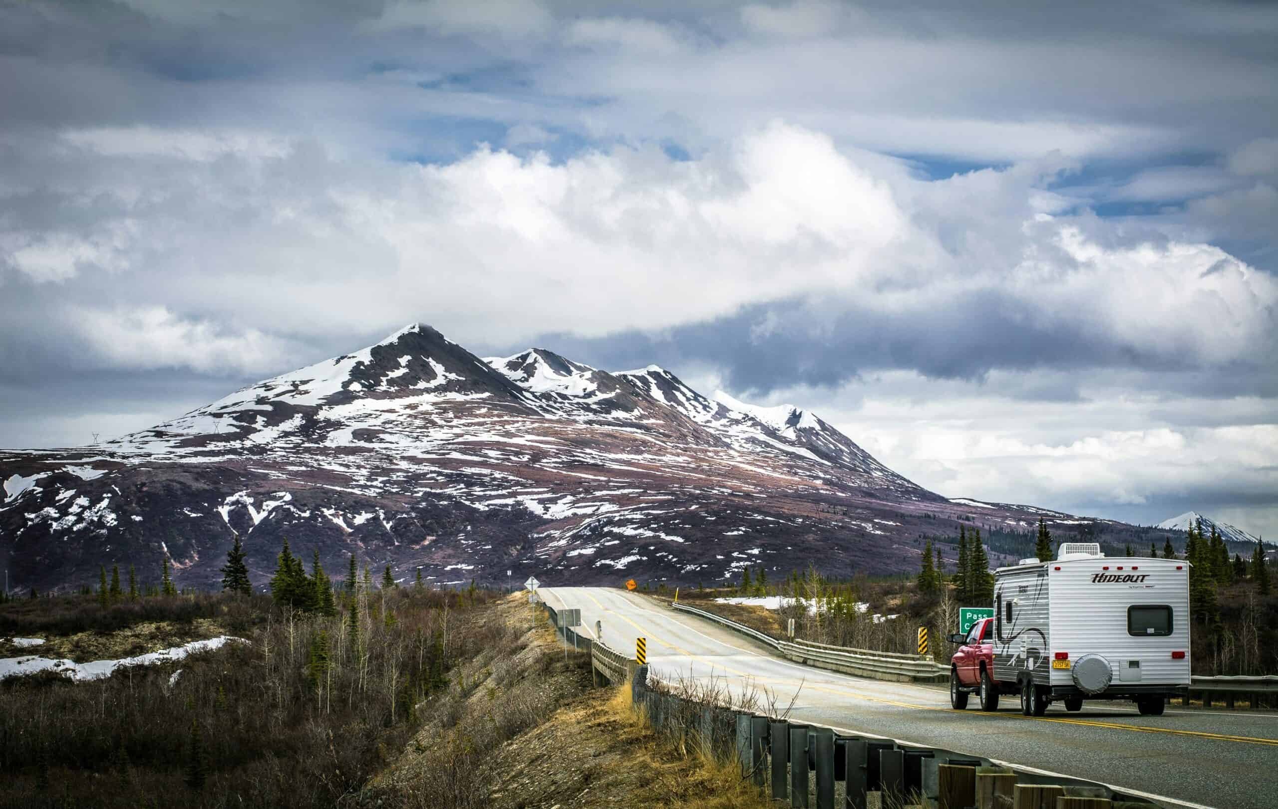
Seward Highway, Alaska
The Seward Highway carries postcard views between Anchorage and the Kenai Peninsula, yet the state has treated key segments as a serious safety priority for years. Alaska’s safety-corridor material documents a long history of fatal and major-injury crashes, including head-on collisions, and recent plans include median barriers and other mitigation steps. That tension defines the drive: dramatic coastline on one side, tight consequence margins on the other, with heavy tourism traffic, variable weather, and wildlife movement all increasing workload for even experienced drivers during long summer daylight windows.
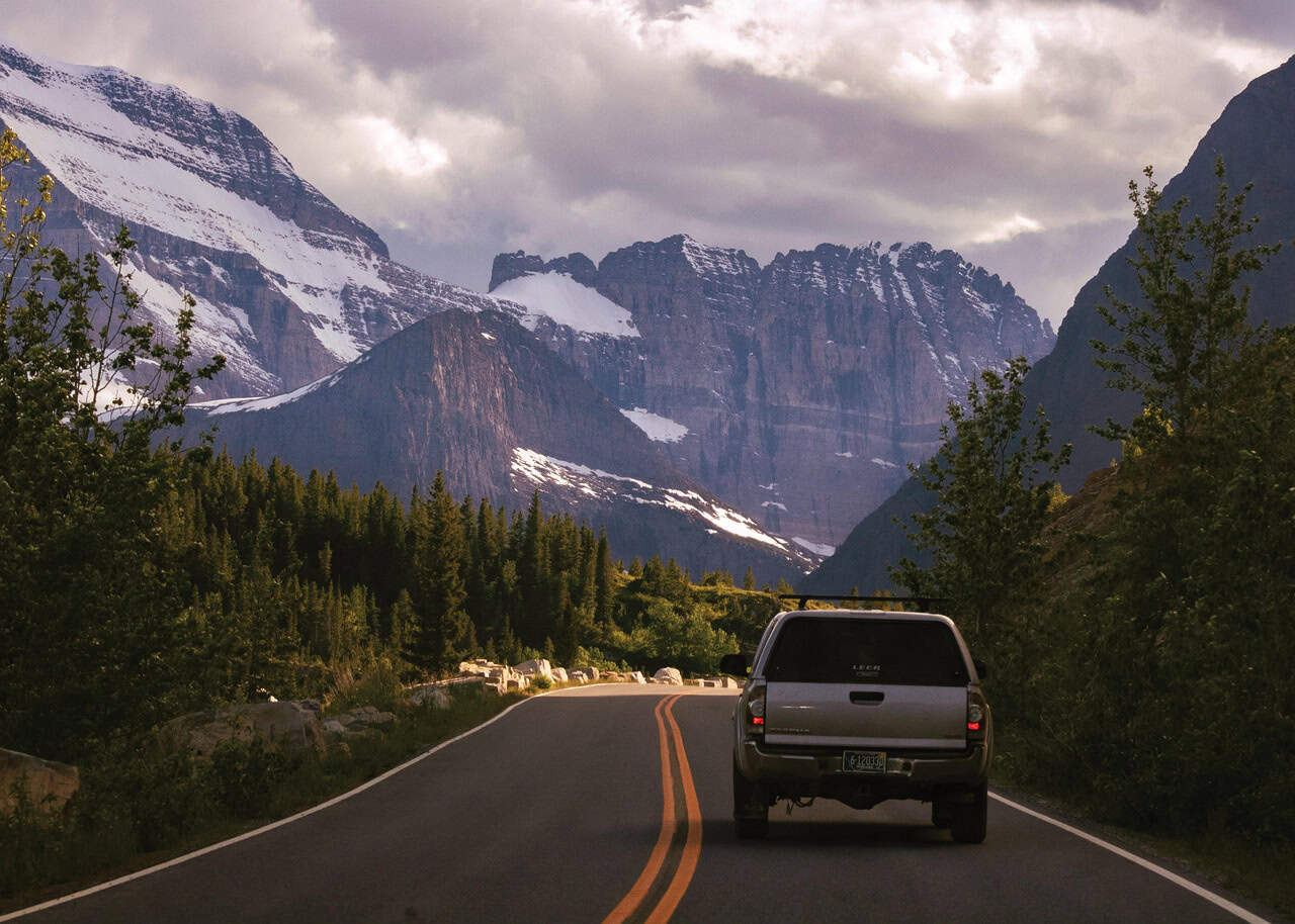
Going-to-the-Sun Road, Montana
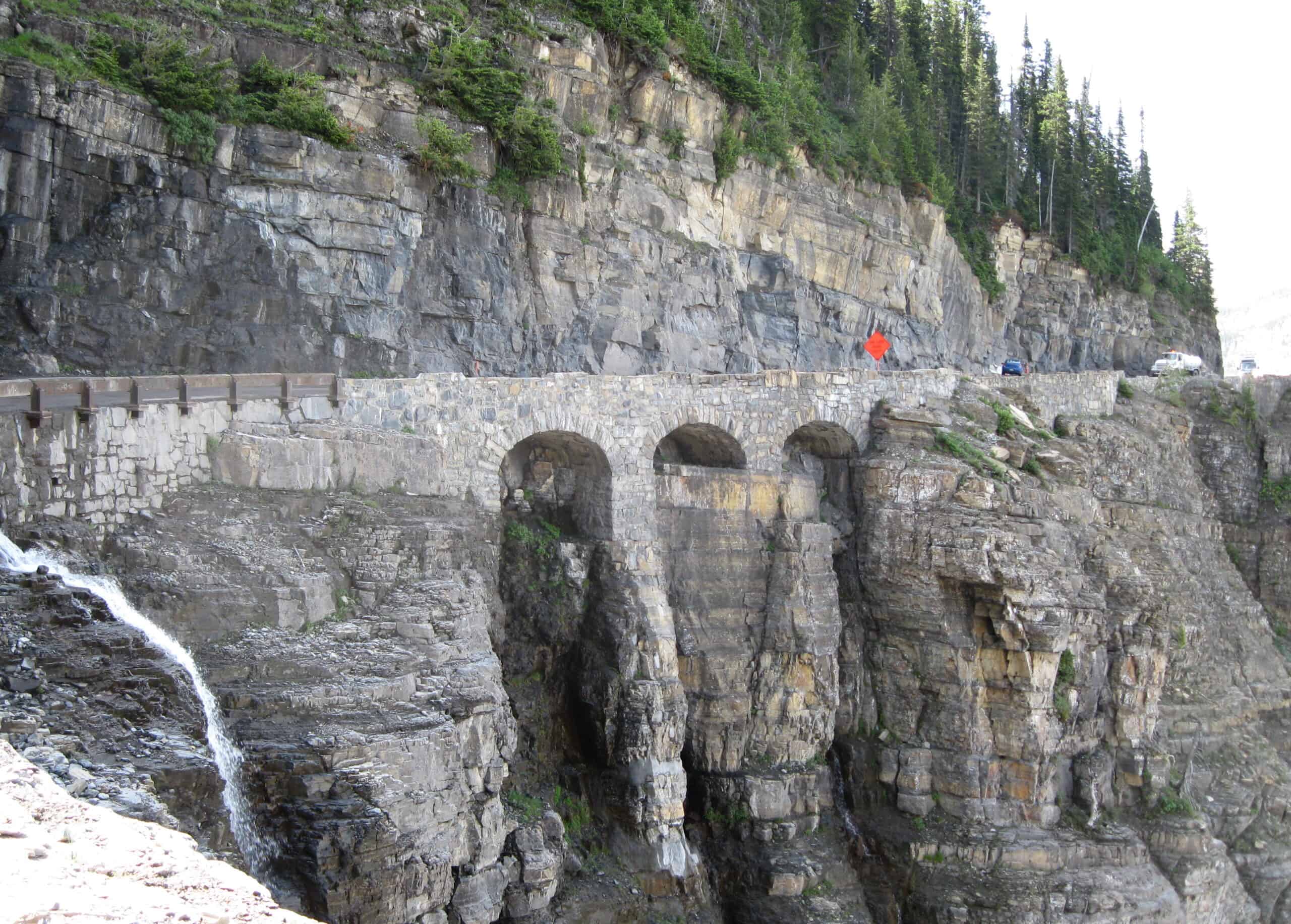
Glacier’s signature road is engineering poetry, but it is not forgiving to oversized rigs or casual planning. The National Park Service enforces strict vehicle size limits because of narrow lanes, rock overhangs, and cliffside geometry, and conditions can change quickly with weather and traffic. The drive feels calm only when timing and vehicle choice are right; otherwise, congestion, abrupt stops, and edge exposure create a stressful corridor where precision matters more than confidence, and one bad decision can block traffic for miles on a route with few easy turnarounds or safe pullouts when demand peaks.
Beartooth Highway (US-212), Montana-Wyoming
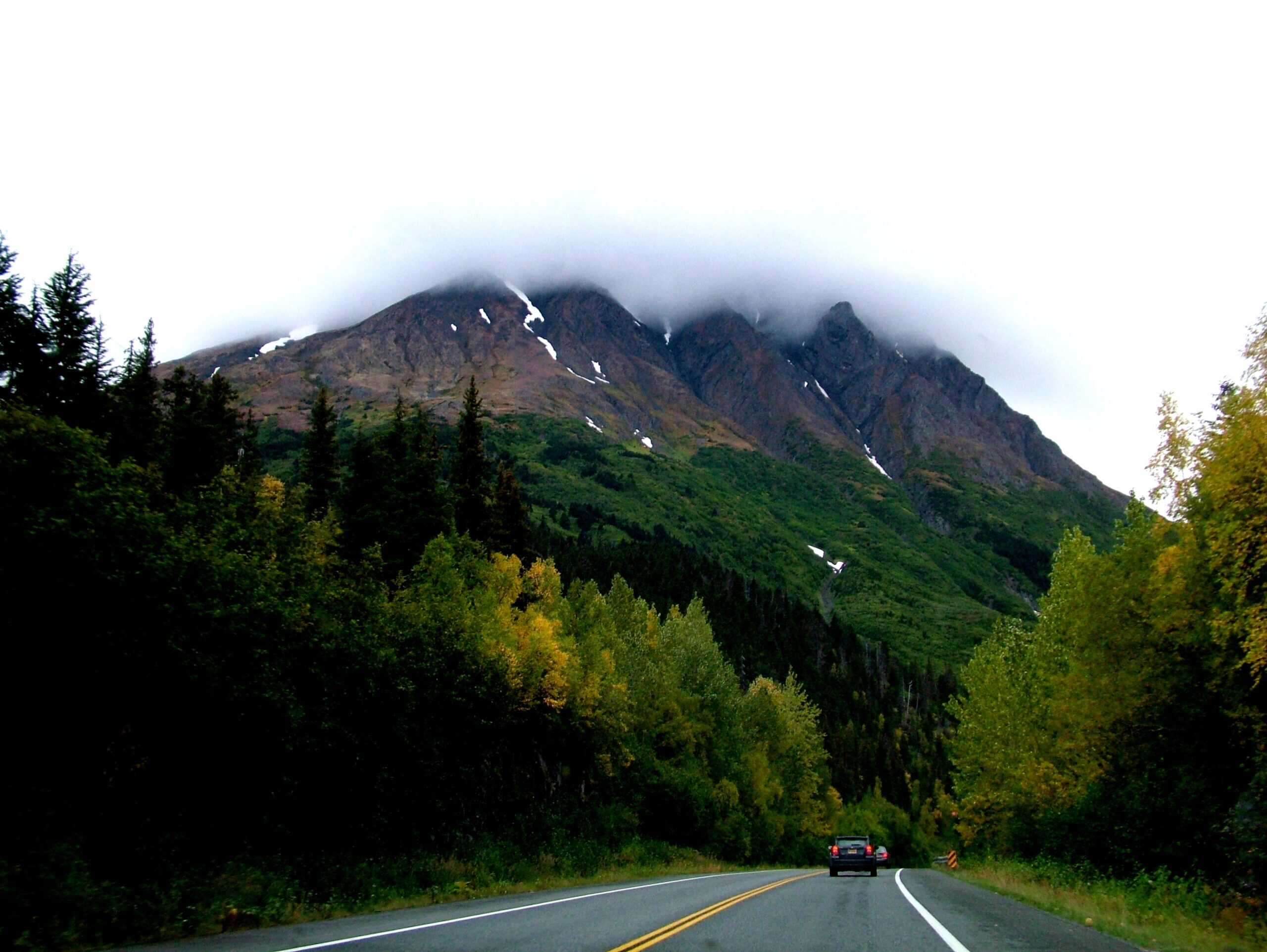
Beartooth’s alpine views are legendary, and so is its volatility. NPS road guidance notes this high-elevation highway commonly faces harsher weather than lower park roads, with openings and closures tied to mountain conditions and sudden changes that can affect access after initial opening. Even in peak season, cold, wind, and abrupt storms can reshape risk within minutes, so a clear morning on Beartooth can turn into a traction test before lunch, with visibility and pavement grip changing faster than most itineraries can absorb and rescue response taking longer than travelers assume at that altitude.
Trail Ridge Road, Colorado
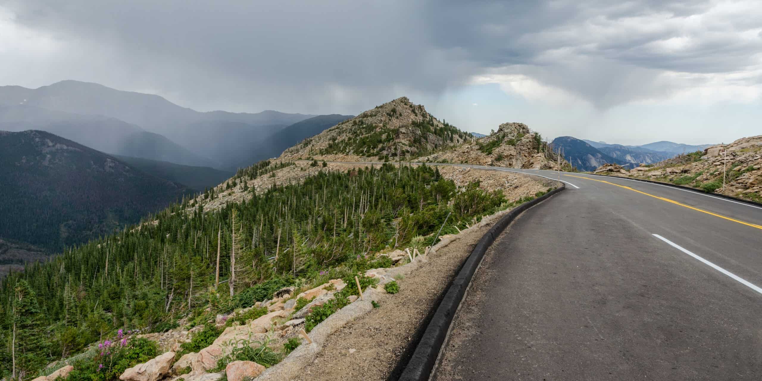
At over 12,000 feet, Trail Ridge Road is both iconic and exposed. Rocky Mountain National Park describes it as the highest continuous paved road in the United States, and large portions run above treeline where storms, lightning, and visibility swings arrive fast. The route is mostly open in summer, yet shoulder space and protection are limited in key stretches, so weather timing and speed discipline matter far more than itinerary optimism on this high-altitude crossing, especially when afternoon storms build over the Divide, crosswinds intensify near overlooks, and temperatures drop sharply after sundown.
I-70 Mountain Corridor, Colorado
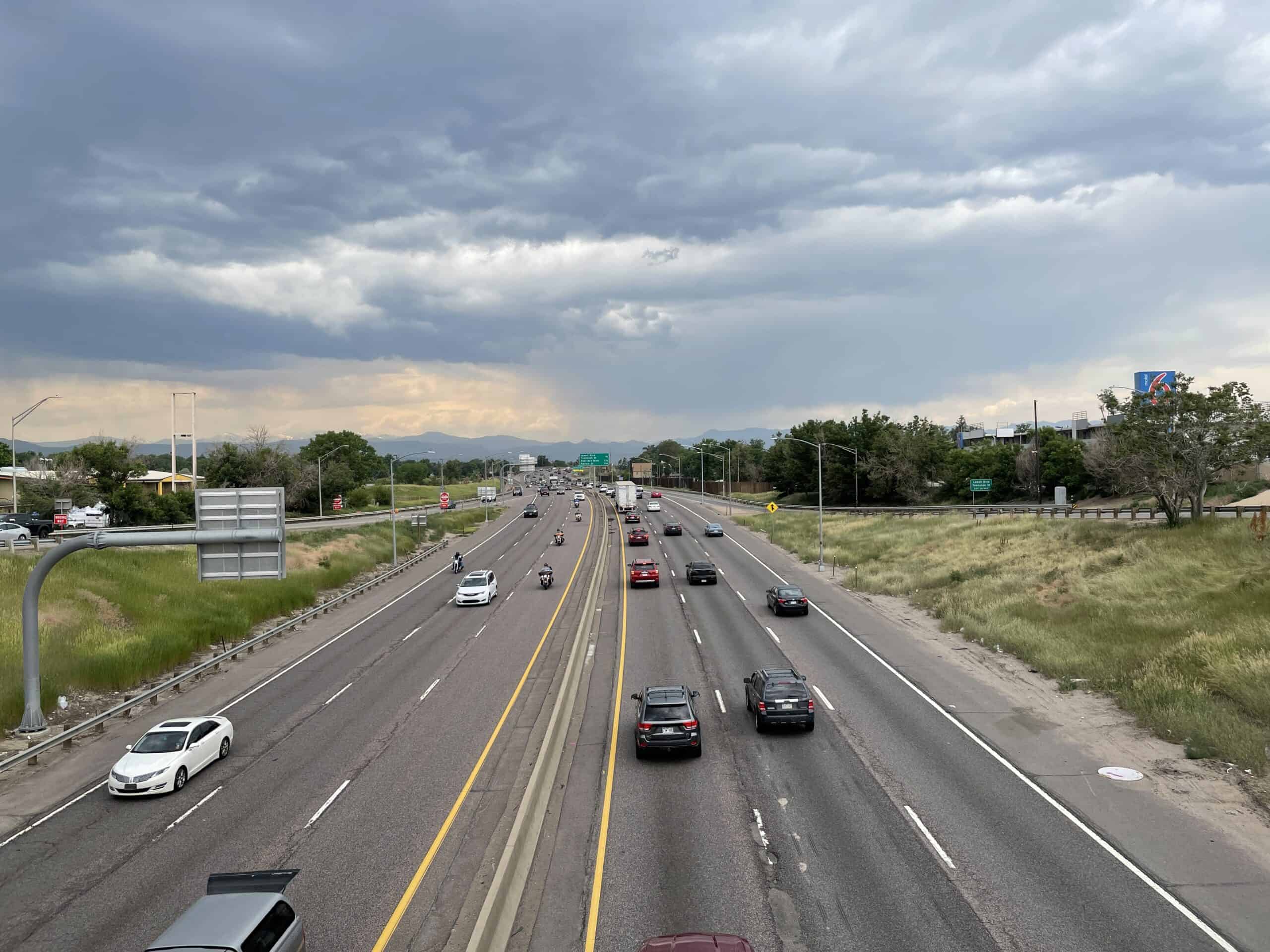
Interstate 70 through Colorado’s high country is busy, steep, and weather-sensitive, which is why state agencies keep tightening traction rules. CDOT and CSP say the corridor between Dotsero and Morrison is under seasonal traction requirements, with additional chain-law activation during severe storms and penalties for noncompliance that blocks lanes. Troopers also report higher crash likelihood during winter speeding periods, so this route behaves less like routine interstate driving and more like a sustained mountain-operating test where equipment, patience, and lane discipline decide whether a trip stays on schedule.
Tioga Road (CA-120), California
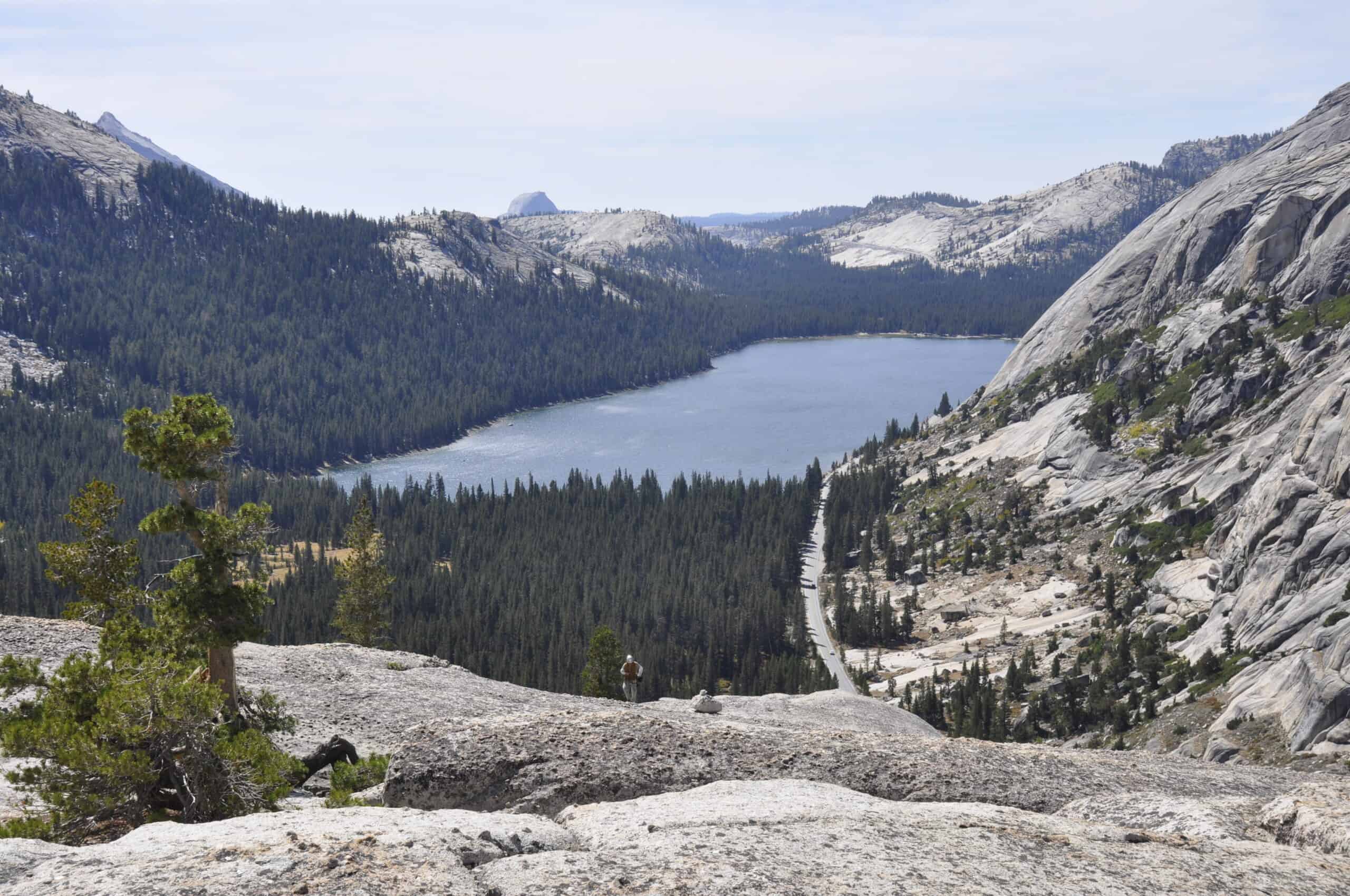
Tioga Road through Yosemite offers high-Sierra grandeur, but access is never guaranteed on a fixed calendar. NPS guidance shows annual opening dates vary widely with snowpack and storm cycles, and closures can happen outside peak winter if conditions deteriorate. Drivers who treat Tioga as a guaranteed cross-park shortcut often discover why mountain timing beats map distance, because elevation, narrow shoulders, and sudden weather shifts can turn a scenic pass into a low-margin transit corridor with little room for rushed corrections, limited services, and few safe places to recover from an error.
Interstate 80 Over Donner Pass, California
Donner Pass is one of the West’s most important freight and travel links, and winter regularly tests everyone on it. Caltrans chain-control rules spell out escalating requirements from R-1 through R-3, including scenarios where nearly all vehicles need traction devices, and officials note highways may close before worst-case conditions stabilize. Speed drops, braking distance stretches, and spinouts can cascade into long backups quickly, which is why this corridor teaches a blunt lesson: legal compliance is the minimum, not the finish line, when snow intensity and traffic volume rise at the same time.
Highway 1 Through Big Sur, California
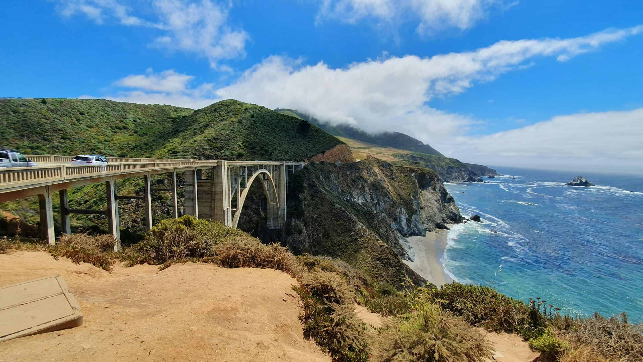
Big Sur’s coastal section of Highway 1 is breathtaking, but geology keeps reminding drivers who is in charge. Caltrans reports that Regent’s Slide closed a 6.8-mile segment after material fell from roughly 450 feet above the roadway, and agency updates continue to emphasize slope stabilization and monitoring in a landslide-dense zone. Even when open, the corridor can shift from smooth cruising to controlled access with little notice, so scenic calm and geologic instability often travel together on the same day, especially after rain cycles that weaken already fractured slopes and reduce driver reaction time around blind curves.
North Cascades Highway (SR 20), Washington
North Cascades Highway is one of the Northwest’s great drives, yet it closes seasonally for a reason. WSDOT says closure timing is driven by snow loads, avalanche-path risk, and active weather, with gates moving based on conditions at Rainy and Washington passes. That means risk management is built into the operating model, not treated as an exception, and shoulder-season itineraries can pivot quickly as mountain signals change from scenic to hazardous in one weather cycle, sometimes within a single afternoon forecast update and before alternate routes can absorb extra traffic. In foul weather, visibility can narrow quickly.