We may earn money or products from the companies mentioned in this post. This means if you click on the link and purchase the item, I will receive a small commission at no extra cost to you ... you're just helping re-supply our family's travel fund.
Some road trips feel safe until the map turns empty, the weather shifts, or one wrong turn becomes an hour of backtracking. Safety pros note that danger is often predictable: long gaps without fuel, fast-changing mountain storms, desert heat, or narrow lanes with little room for error. These routes can be stunning, but they punish fatigue and poor timing. When a drive demands full attention and backup plans, a second set of eyes, a second phone, and a second driver can be the difference between a story and a rescue call.
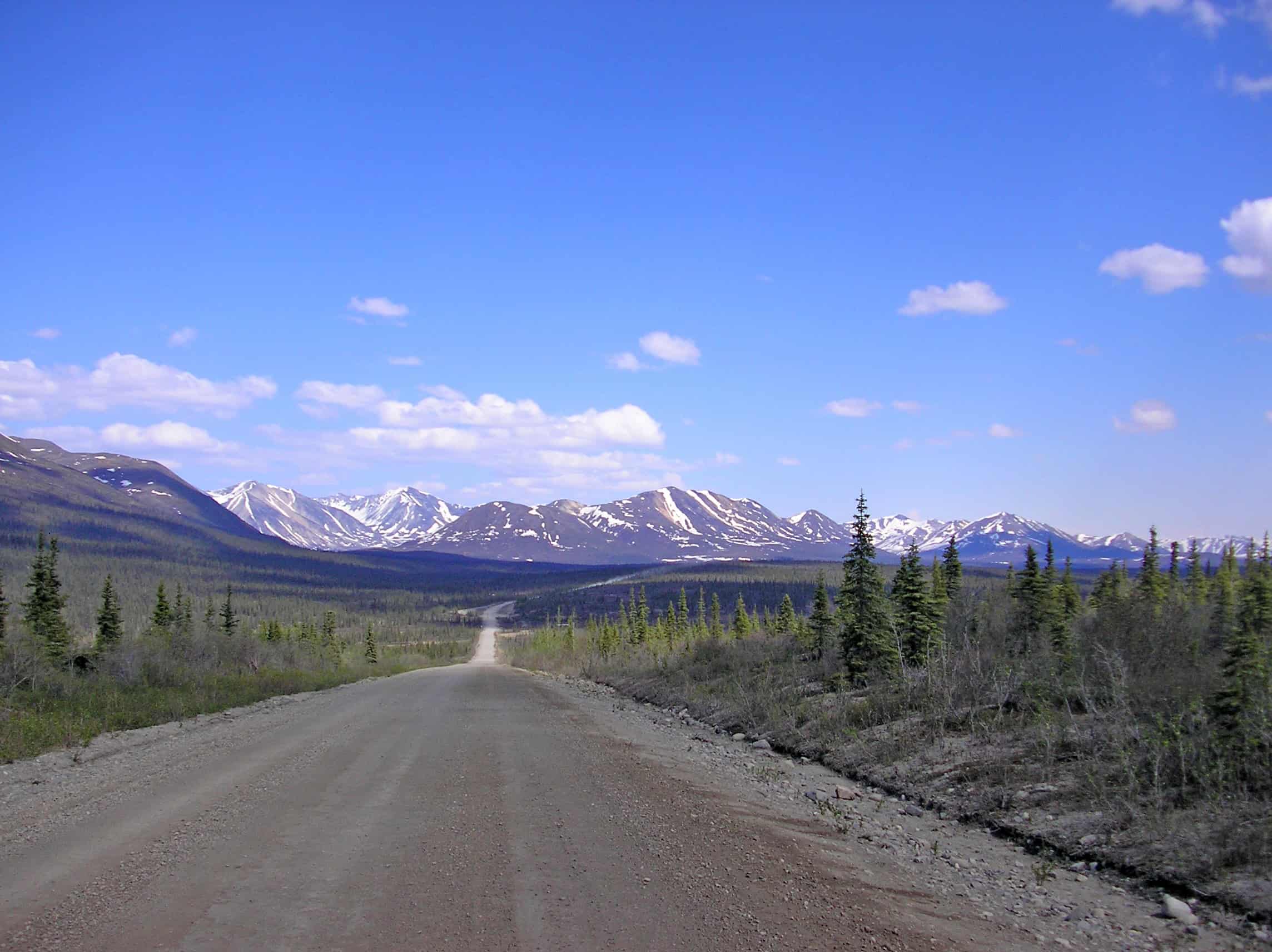
Dalton Highway, Alaska (AK-11)
The Dalton is a working haul road with long stretches of emptiness, gravel spray from heavy trucks, and weather that can flip from clear to blinding in minutes. Solo drivers face limited services, spotty signal, and a high penalty for a simple problem like a puncture, a cracked windshield, or a dead battery, especially when temperatures drop below zero. Groups handle it better with two vehicles, extra fuel, a full-size spare, a satellite messenger, and a check-in plan, because help can be hours away, recovery trucks may not arrive quickly, and passing traffic is not guaranteed after dusk or during storms. Even in midsummer daylight at times.
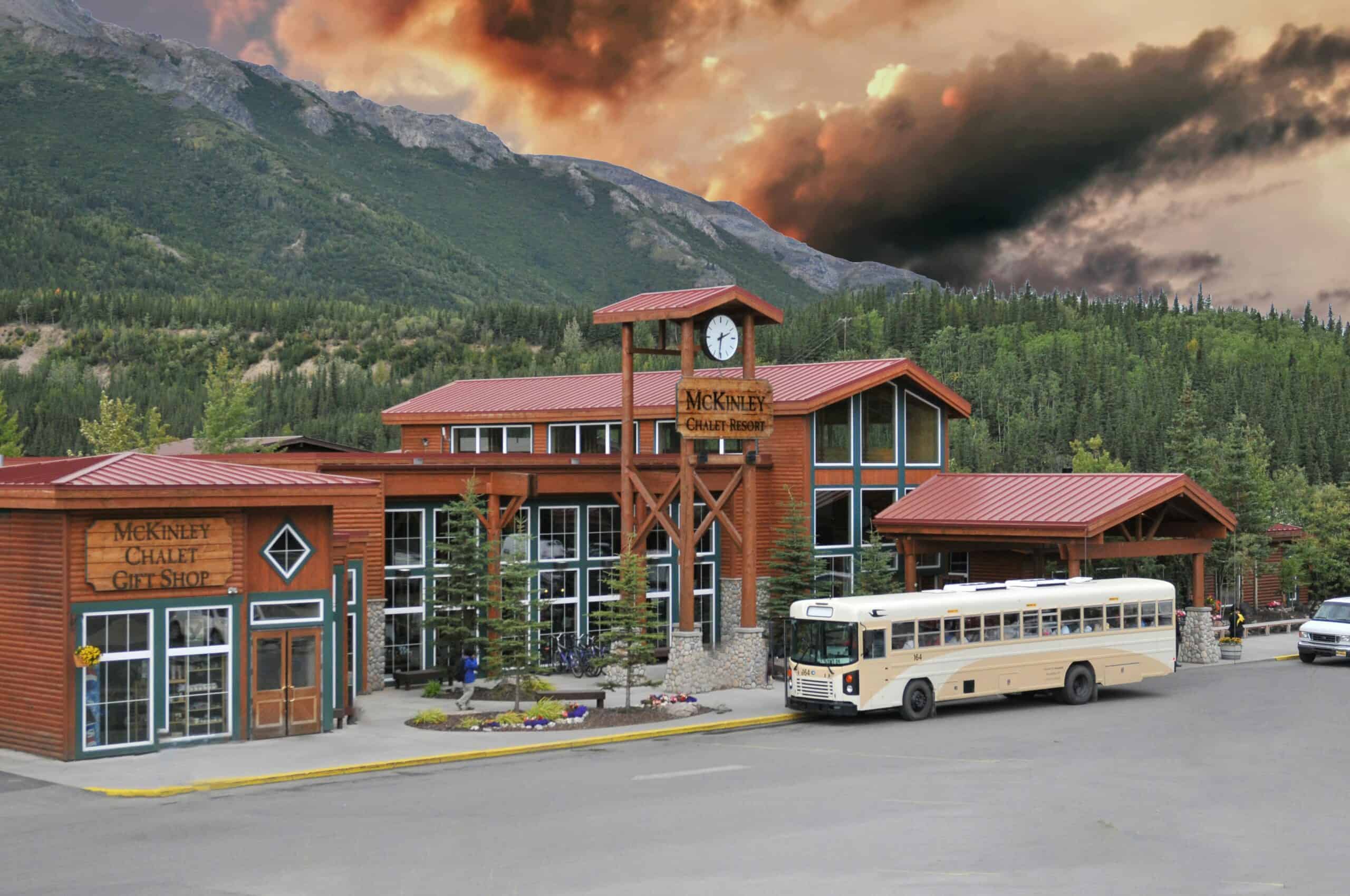
Denali Highway, Alaska (AK-8)
The Denali Highway runs between Cantwell and Paxson, famous for wide tundra views, and equally known for being remote, mostly gravel, and thin on year-round services. In shoulder seasons, snow squalls, mud, and early darkness can turn a soft shoulder or a minor slide into a long wait, and some lodges, fuel options, and camp services may be closed. Safer trips build daylight buffers, conservative speeds, two full spares, and a second person who can navigate with offline maps, spot wildlife, and manage a breakdown without leaving anyone isolated in the cold, with food, water, and warm layers ready for an unplanned night far from any tow truck.
Going-to-the-Sun Road, Montana
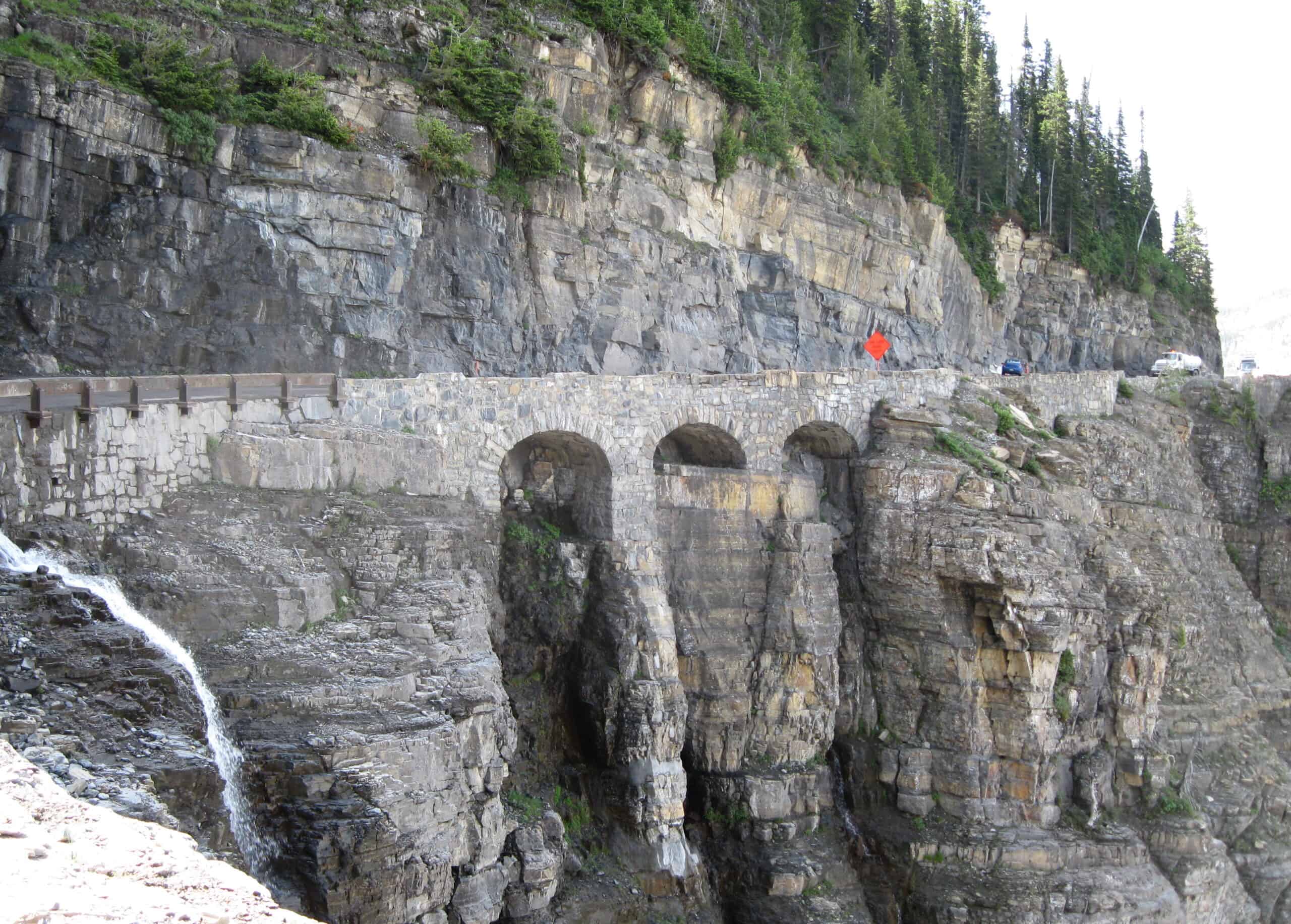
Going-to-the-Sun Road climbs toward Logan Pass with tight curves, steep drop-offs, and quick weather swings that can bring fog, ice, hail, or sudden rain, and snowfields can linger, narrowing shoulders even on bright days. Traffic can stack behind slow vehicles, and narrow pullouts leave little room when nerves rise, while wildlife crossings and tour buses make braking distances feel unpredictable after 4:00 p.m. in springtime. With company, decisions stay calmer: earlier starts, fewer risky passes, a spotter for tight parking, and a shared plan for delays or closures, turning a stressful squeeze into a controlled scenic drive in peak season.
U.S. 550 Million Dollar Highway, Colorado
Between Ouray and Silverton, U.S. 550 is spectacular and unforgiving, with narrow lanes, sharp switchbacks, and steep cliffs that demand steady hands and fuller focus, with few wide shoulders for recovery and almost no lighting at night. Weather can turn quickly, and glare ice, low clouds, and rockfall can raise the stakes fast, while guardrail-free stretches leave little margin for a drifting tire and cell signal drops in a spot. A companion reduces risk by sharing driving, watching for slick patches and oncoming trailers, and helping decide when to pull over, turn back, or wait out a storm before fatigue makes a beautiful road feel hostile.
Interstate 80 Wind Corridor, Wyoming

Wyoming’s I-80 between Rawlins and Laramie is notorious for high winds, blowing snow, and sudden whiteouts, with wind-prone spots near Arlington and Elk Mountain. Even when pavement looks dry, gusts can shove vehicles across lanes, black ice can hide in shaded dips, and a chain of crashes can freeze traffic for hours in open country. Not traveling alone adds margin: one person monitors road reports, warmth, and fuel while the other rests or drives, so a closure, a blow-over risk, or a wrong exit does not become a cold, exhausting emergency. A kit with water, blankets, and power helps.
Interstate 70 Through Colorado’s High Country
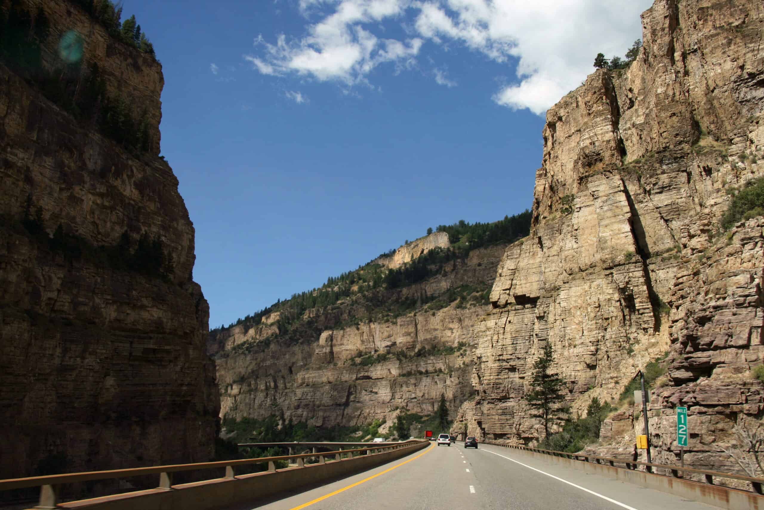
I-70 through Colorado’s high country can shift from bare asphalt to chain conditions in a few miles, and storm traffic can lock the corridor into long, stop-and-go lines. Steep grades near passes, tunnel backups, and sudden closures force hard choices about fuel, rest, and whether to continue in fading light, while altitude adds fatigue faster than expected. A travel partner helps with navigation, weather checks, and nerves, and can take the wheel when traction turns tricky, keeping the trip calm, and methodical instead of rushed and reactive. Spin-outs and jackknifes can appear around blind bends. Detours are limited once the canyon narrows.
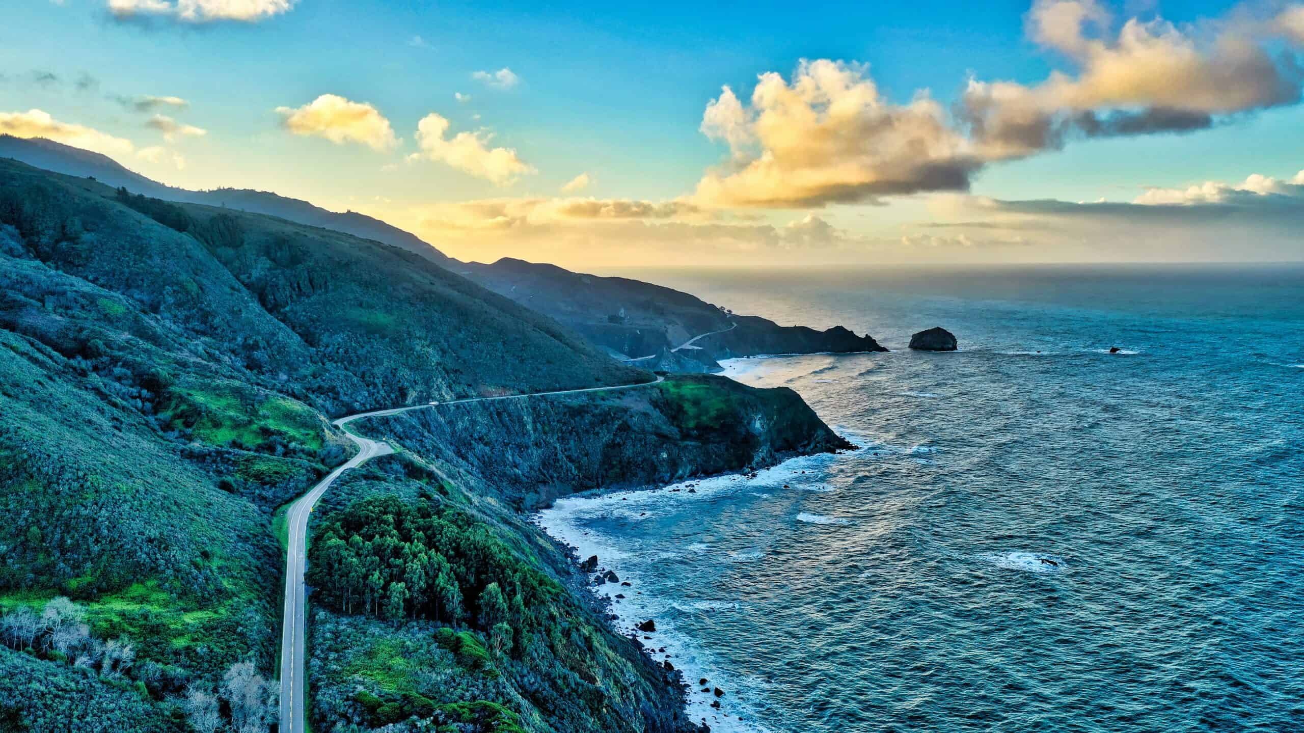
California State Route 1 Through Big Sur
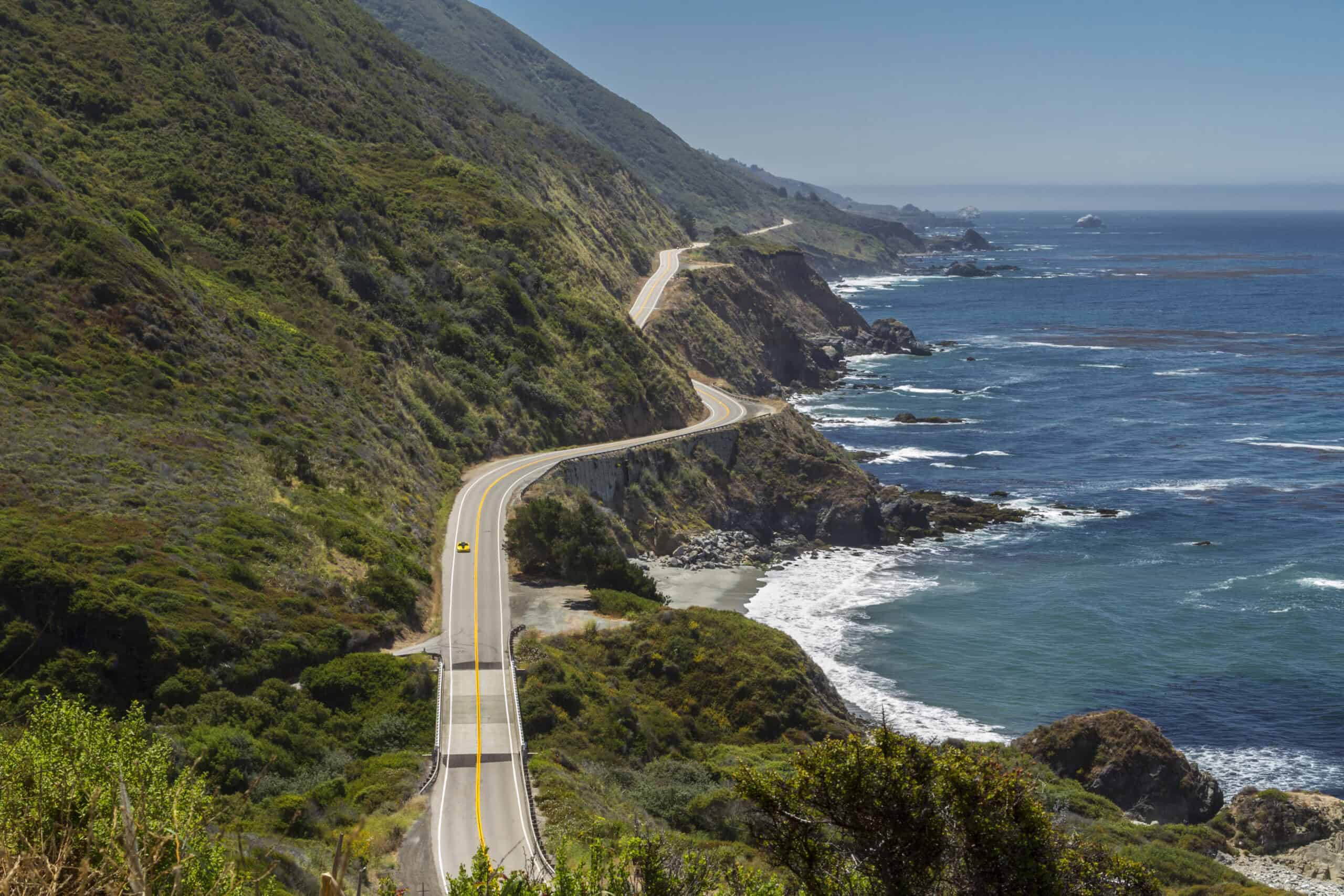
Highway 1 through Big Sur is gorgeous but exposed, with tight curves, narrow shoulders, and recurring rockslides that can close sections, trigger one-lane traffic control, and force long inland detours. Fog and rain can turn the coastline into a gray wall, and night driving adds glare and drop-offs, while cell signal fades in stretches and limited pullouts make it hard to regroup when nerves spike. With company, the pace stays safer: earlier timing, planned fuel and restroom stops, and quick decisions around closures, so the coast remains restorative and scenic instead of stressful and risky, and driver swaps and map checks stay easy anytime.
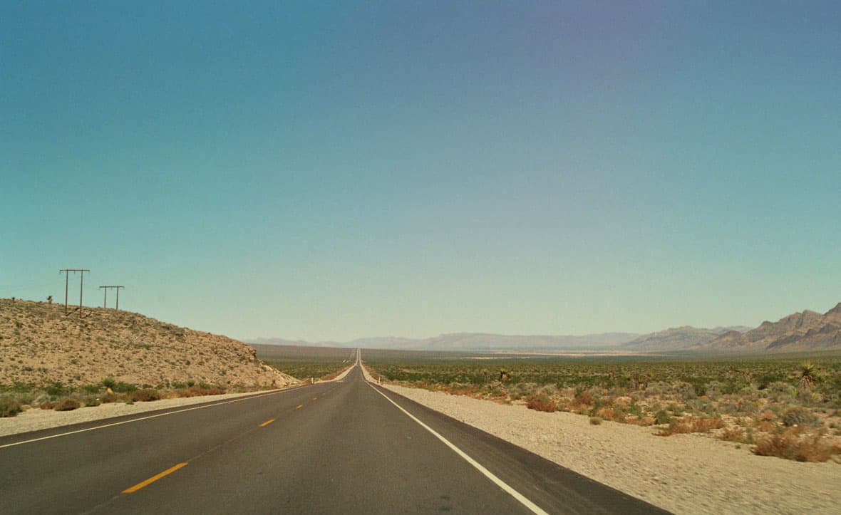
U.S. 50 Across Central Nevada
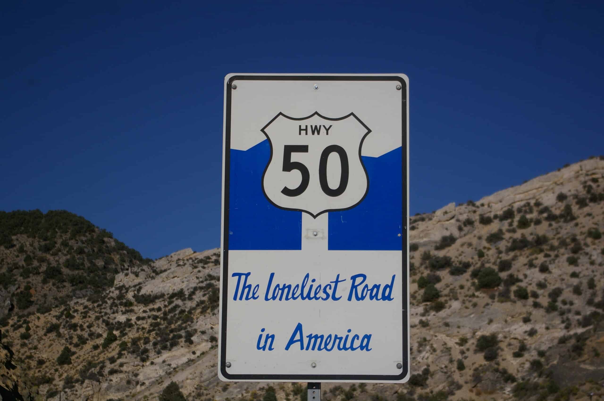
U.S. 50 earns its “Loneliest Road” reputation with wide basins, high passes, and towns spaced far apart between Ely, Austin, and Fallon, turning a small issue into a major delay. Cell coverage can be inconsistent, there are long miles with no streetlights, wildlife crossings spike after sunset, and winter storms can close passes or leave long stretches with no quick services or towing. Pairs travel steadier by timing fuel stops, swapping drivers to avoid highway hypnosis, and keeping water, snacks, a warm layer, a flashlight, and offline directions ready, so an unexpected stop stays manageable and calm until daylight returns, or help arrives.
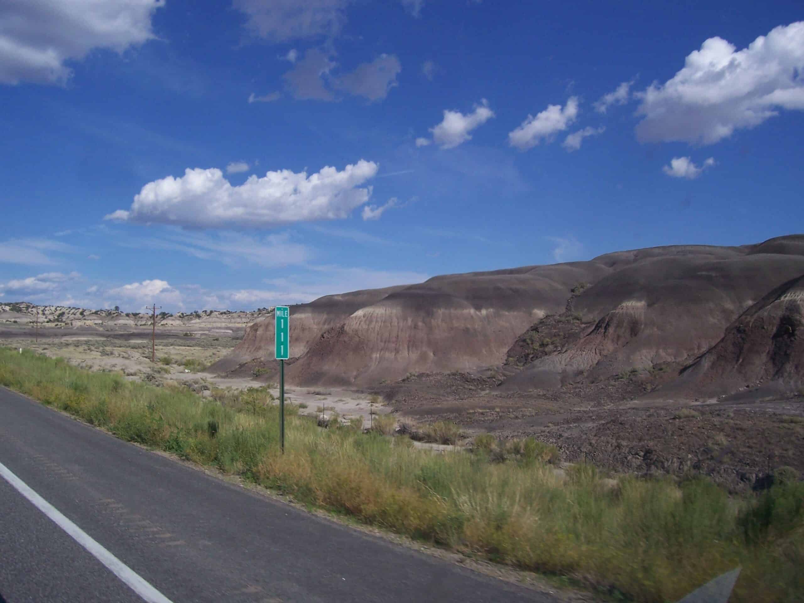
Death Valley National Park Roads, California
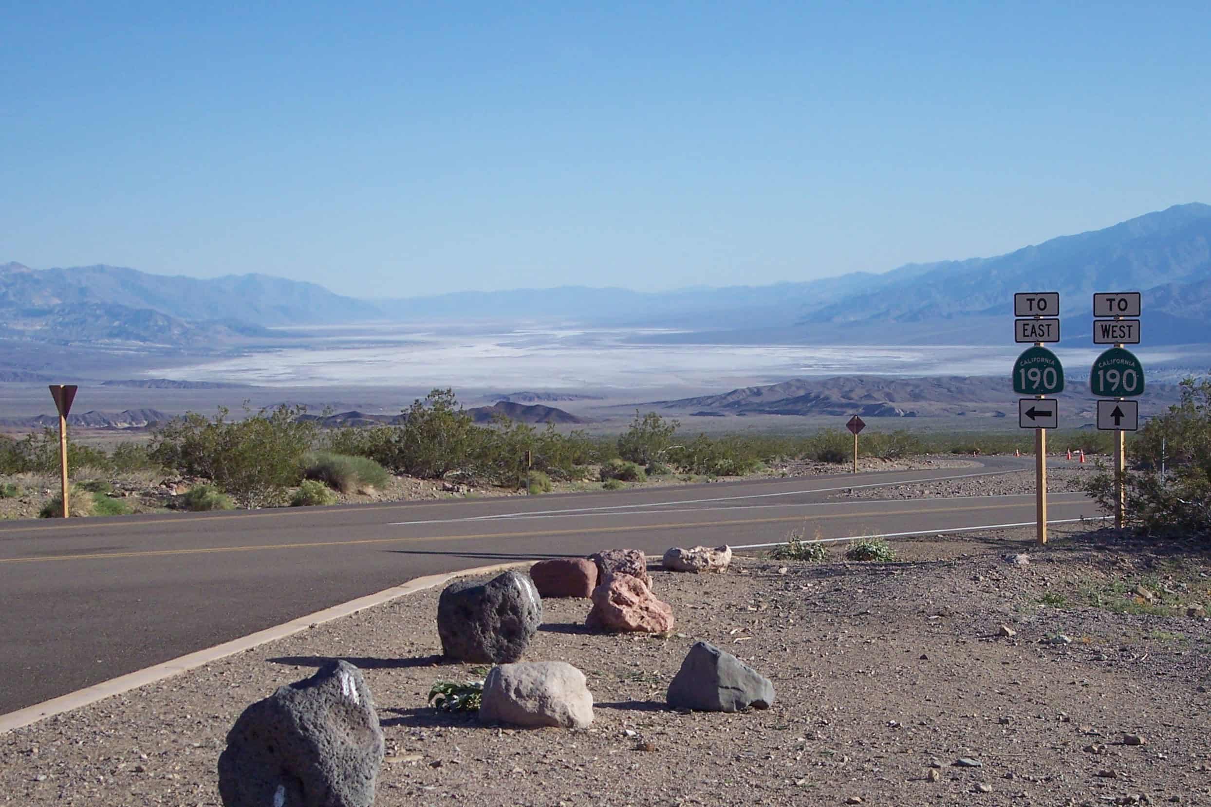
Death Valley roads lure drivers with big horizons, but extreme heat can overwhelm vehicles and bodies, especially from June through Sept. when highs soar and fuel stops can be far apart. Breakdowns become serious when shade is scarce, distances are long, and cell coverage is unreliable, and flash floods after storms can wash out crossings and strand traffic away from pavement. Company lowers the risk: one person tracks water, temperature, and timing while the other navigates, checks the vehicle, and signals for help, and both can choose to turn back before heat, fatigue, and isolation start compounding as midday heat hits its peak, and stays.
U.S. 93 Through the Arizona-Nevada Desert
U.S. 93 carries fast traffic through long desert stretches between small towns, especially between Kingman and Boulder City, where heat, glare, and fatigue stack up quickly and services can be widely spaced. A flat tire, an overheating engine, or a missed fuel stop can turn into hours on a shoulder with little shade and limited signal, and traffic speeds leave little comfort when a vehicle sits close to the lanes. Traveling with another person adds resilience: shared driving, better scanning for hazards, and a built-in check on risky choices, so a delay stays manageable while water, cooling, and communication stay under control through hours.