11 Highways That Are Known for Extreme Traffic Jams
We may earn money or products from the companies mentioned in this post. This means if you click on the link and purchase the item, I will receive a small commission at no extra cost to you ... you're just helping re-supply our family's travel fund.

Traffic congestion is more than an inconvenience; on certain highways, it is a daily reality that shapes commuting habits, regional economies, and even mental health. Across the world, a handful of major roadways have earned reputations for grinding traffic to a near standstill during peak hours, holidays, and even ordinary weekdays. These highways combine high population density, limited alternate routes, aging infrastructure, and relentless growth. Below are eleven highways internationally known for extreme traffic jams, each examined with context, causes, and measurable congestion data to show why they consistently rank among the most frustrating roads to drive.
1. Interstate 405 (Los Angeles, USA)
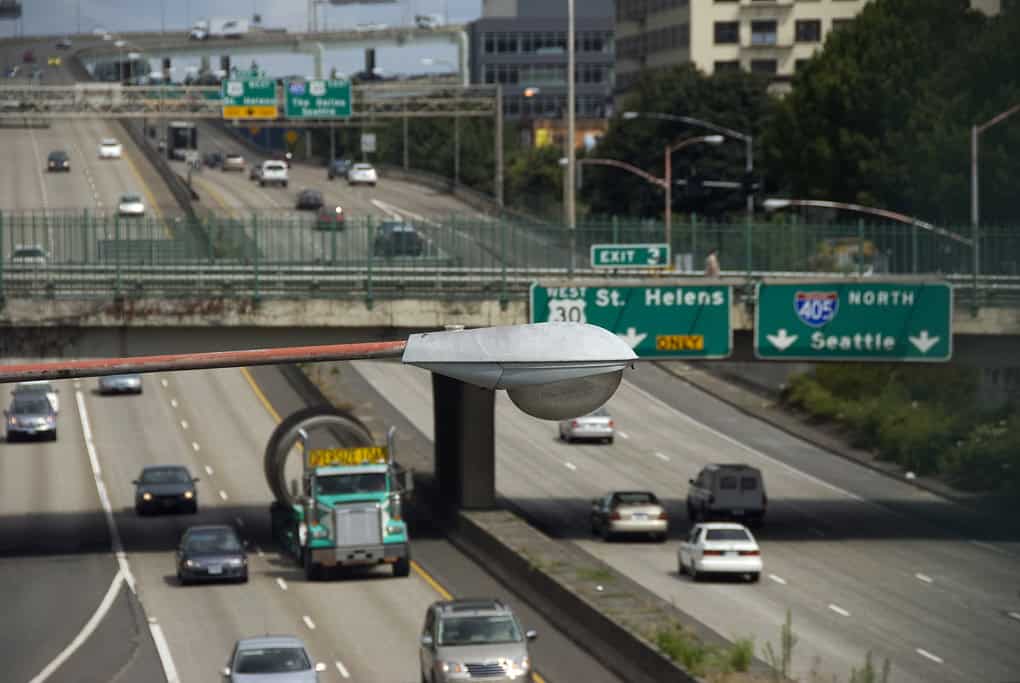
Interstate 405 is infamous for traffic congestion that persists for nearly 18 hours a day, stretching from Orange County through the San Fernando Valley. Carrying over 380,000 vehicles daily on some segments, it frequently records average speeds below 15 mph during peak hours. The highway serves major job hubs, LAX access routes, and densely populated suburbs, creating constant demand. Even multi-billion-dollar expansion projects have produced only marginal relief. Accident rates are above state averages, compounding delays. Morning rush can last from 6 a.m. to 11 a.m., while evening congestion often extends past 8 p.m.
2. NH-48 (Delhi–Gurugram, India)
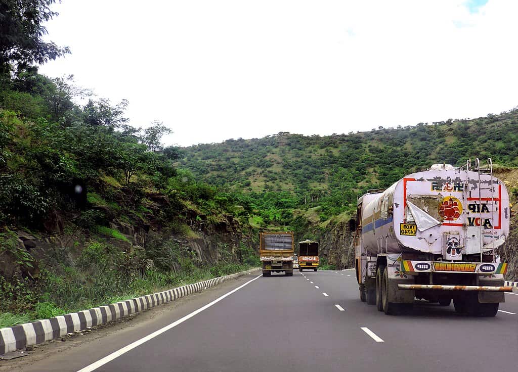
National Highway 48 between Delhi and Gurugram experiences chronic congestion due to mixed traffic, rapid urban expansion, and heavy commercial vehicle movement. This corridor handles more than 300,000 vehicles daily, with peak-hour speeds often dropping to 10–12 km/h. Toll plazas, frequent lane changes, and service road encroachments worsen conditions. During monsoon season, travel times can double, turning a 30-minute drive into a two-hour ordeal. Air quality monitors show pollution spikes during traffic standstills. Weekend congestion is also severe due to mall, office park, and airport-bound traffic.
3. M25 Motorway (London, UK)
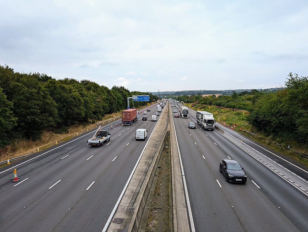
Encircling Greater London, the M25 is one of Europe’s busiest ring roads, carrying nearly 200,000 vehicles per day on certain sections. Congestion regularly reduces speeds to under 20 mph during rush hours. Its role as a freight corridor, combined with commuter traffic and frequent construction, makes delays almost unavoidable. Accident-related closures cause cascading backups that can stretch for miles. Studies show drivers on the M25 lose an average of 30–40 hours annually to congestion. Even off-peak travel offers little predictability, reinforcing its notorious reputation.
4. Beijing 3rd Ring Road (Beijing, China)

The 3rd Ring Road in Beijing is a critical urban artery known for near-constant gridlock. Supporting over one million vehicles daily across multiple interchanges, it frequently sees traffic crawling at 5–10 km/h. Rapid vehicle ownership growth and limited parking enforcement contribute heavily. Peak congestion spans from early morning until late evening, with minimal relief midday. During major events or adverse weather, traffic can completely stall for hours. Fuel consumption and emissions increase significantly during jams, making it one of China’s most environmentally impactful highways.
5. Sheikh Zayed Road (Dubai, UAE)
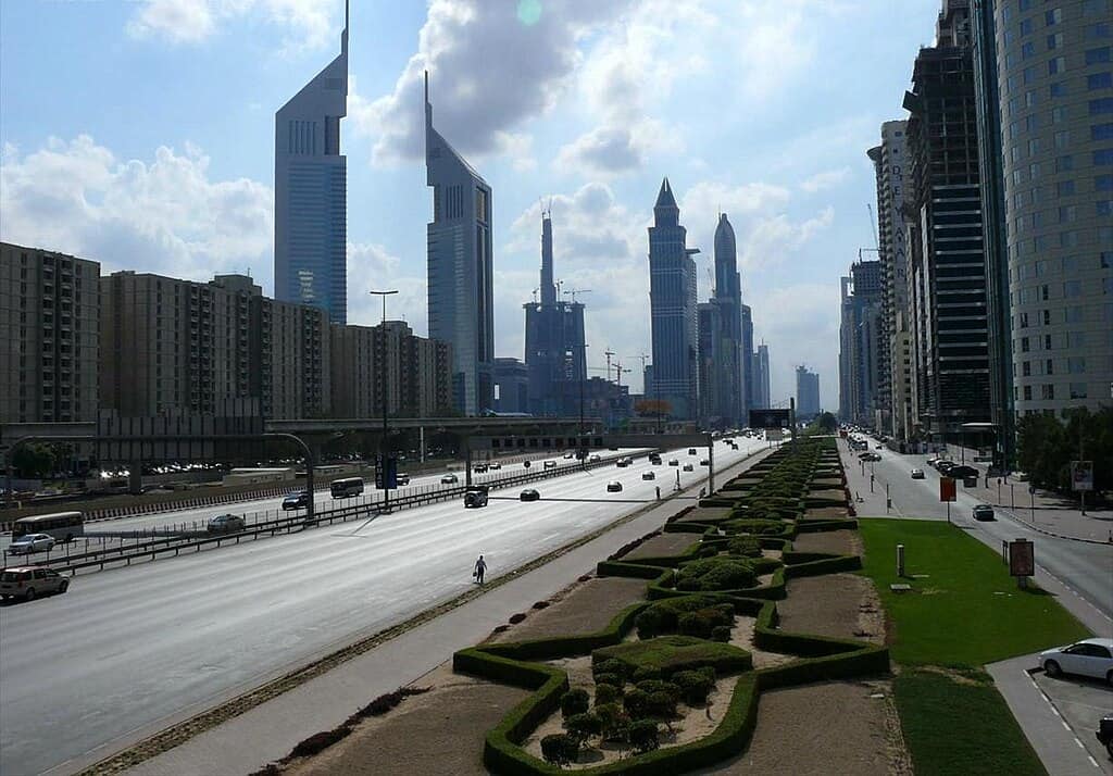
Sheikh Zayed Road is Dubai’s primary north–south corridor and regularly experiences extreme congestion during weekday rush hours. Handling approximately 250,000 vehicles daily, average speeds drop below 20 km/h between 7–10 a.m. and 4–8 p.m. The highway connects business districts, residential zones, and tourist areas, creating overlapping demand patterns. Despite its wide design and modern interchanges, incidents and sudden braking cause rapid slowdowns. Traffic delays here are estimated to cost commuters over 60 hours annually in lost time.
6. Pacific Motorway (Sydney, Australia)
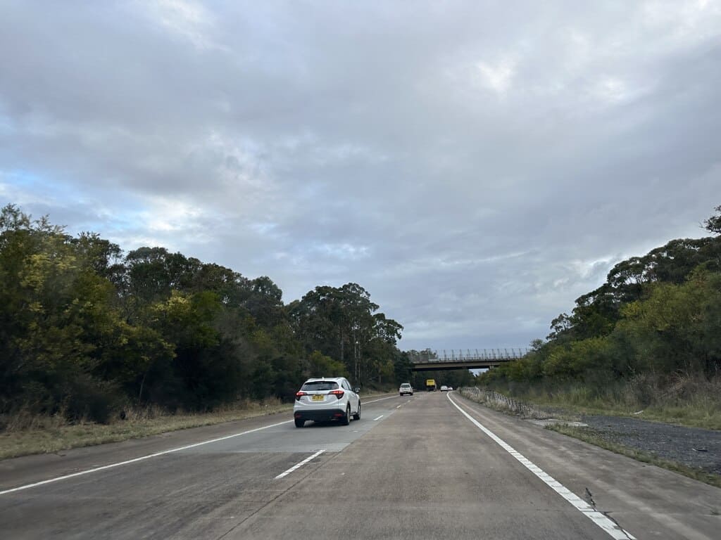
The Pacific Motorway linking Sydney to surrounding regions is notorious for congestion near urban entry points. Certain segments handle over 180,000 vehicles per day, especially during weekday commutes and holiday periods. Peak-hour speeds often fall below 25 km/h, with delays amplified by accidents and weather events. The motorway serves both commuters and long-distance travelers, creating conflicting traffic behaviors. Infrastructure upgrades have improved safety but not eliminated bottlenecks. Drivers frequently report unpredictable travel times, with congestion extending well beyond traditional rush hours.
7. Autoroute A86 (Paris, France)
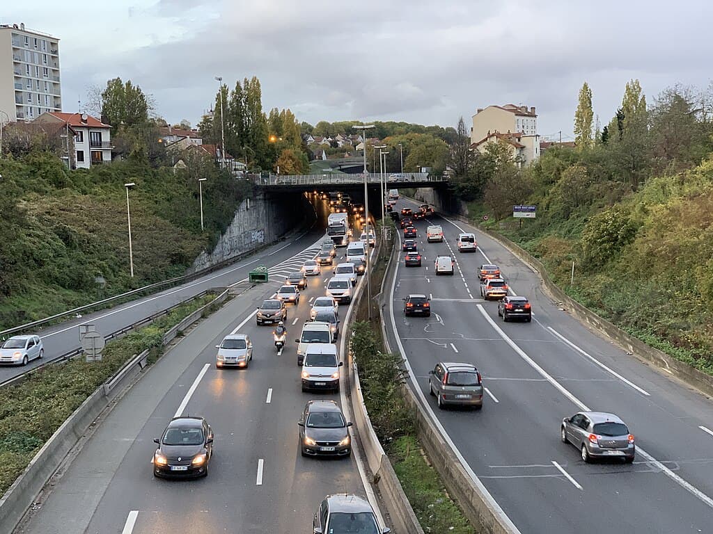
The A86 ring road around Paris is Europe’s second-busiest orbital highway after the M25. Carrying up to 200,000 vehicles daily, it suffers from recurring congestion due to dense urban connections and limited expansion space. Average peak speeds often dip below 18 mph, especially near tunnel sections. Freight traffic and commuter flows overlap heavily during weekdays. Incident response times, while efficient, still result in long backups. Surveys indicate Paris-area drivers lose approximately 35 hours per year stuck on the A86 alone.
8. Tom Moreland Interchange Area, I-285 (Atlanta, USA)
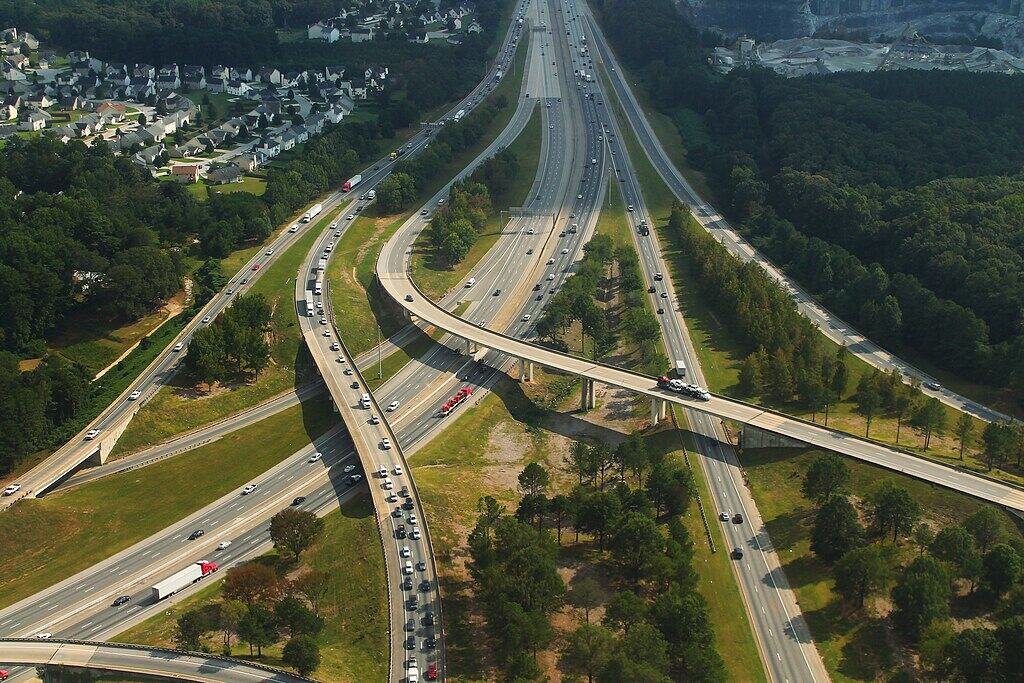
Interstate 285 around Atlanta, particularly near the Tom Moreland Interchange, is infamous for intense congestion. Daily traffic volumes exceed 240,000 vehicles, with peak-hour speeds dropping to 10–15 mph. The highway functions as both a commuter beltway and a freight corridor, intensifying demand. Frequent lane merges and interchanges cause constant stop-and-go movement. Even minor accidents can trigger miles-long backups. Atlanta commuters report losing over 70 hours annually to traffic delays, much of it concentrated on I-285.
9. Jakarta Inner Ring Road (Jakarta, Indonesia)
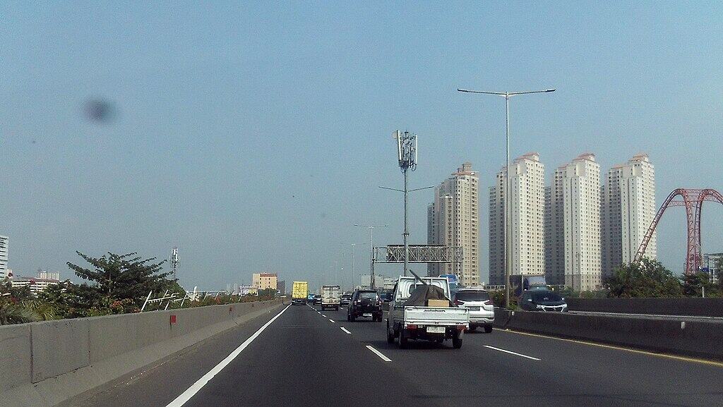
Jakarta’s Inner Ring Road is synonymous with extreme traffic congestion, often ranking among the slowest urban highways globally. Handling more than 250,000 vehicles per day, average speeds during peak periods can fall below 8 km/h. High motorcycle density, limited public transport alternatives, and rapid population growth exacerbate the issue. Flooding during rainy seasons can completely halt traffic. Commuters frequently experience delays exceeding two hours for short distances, making this roadway a major contributor to productivity losses in the region.
10. BR-116 (São Paulo, Brazil)

BR-116, also known as Rodovia Presidente Dutra, is one of Brazil’s busiest highways, linking São Paulo to Rio de Janeiro. Near São Paulo, daily traffic volumes surpass 300,000 vehicles, with peak-hour speeds dropping below 20 km/h. Heavy truck usage, urban sprawl, and frequent construction zones intensify congestion. Accidents are common and quickly paralyze traffic flow. Economic studies estimate billions in annual losses due to delays along this corridor. Holiday travel can turn routine trips into multi-hour standstills.
11. EDSA (Metro Manila, Philippines)
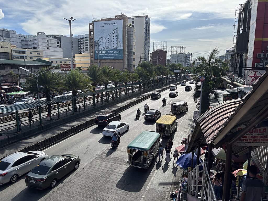
Epifanio de los Santos Avenue, or EDSA, is Metro Manila’s main highway and one of Asia’s most congested roads. Carrying over 400,000 vehicles daily, peak-hour speeds often average just 7–10 km/h. The road supports buses, private vehicles, and commercial traffic simultaneously, leading to constant bottlenecks. Infrastructure limitations and enforcement challenges worsen congestion. Commuters regularly spend three to four hours daily in traffic. Studies show EDSA-related delays significantly impact national productivity and fuel consumption.